Our Work

Blue Raster helps you tell your story through interactive
mapping technology. Make your message clear, exciting,
and user-friendly for both mobile and web platforms.

ArcGIS Velocity

Blue Raster Exhibits and Presents at the 2023 North Carolina ArcGIS Users Group Conference

The North Carolina ArcGIS Users Group (NCAUG) 2023 conference brought together GIS professionals, industry leaders, and innovators within the North Carolina GIS community. Hosted annually by NCAUG, the event showcases a wide array of topics, from advanced spatial analytics to the practical applications of GIS in various industries. This year, the event’s theme was "Sparking Innovation: Energizing GIS Technology for the Future.”

Blue Raster Gets Involved in North Carolina

From September 26 – 29, Project Managers Chris Gabris and Ben Masters represented Blue Raster in Asheville, NC—marking our organization’s first time attending the NCAUG fall conference—where they showcased the ways our team implements innovative GIS solutions for our customers. The week began on the Reem’s Creek Golf Course for the pre-conference tournament, where Ben connected in person with other conference attendees and learned how each of his teammates utilize GIS in their day-to-day roles.
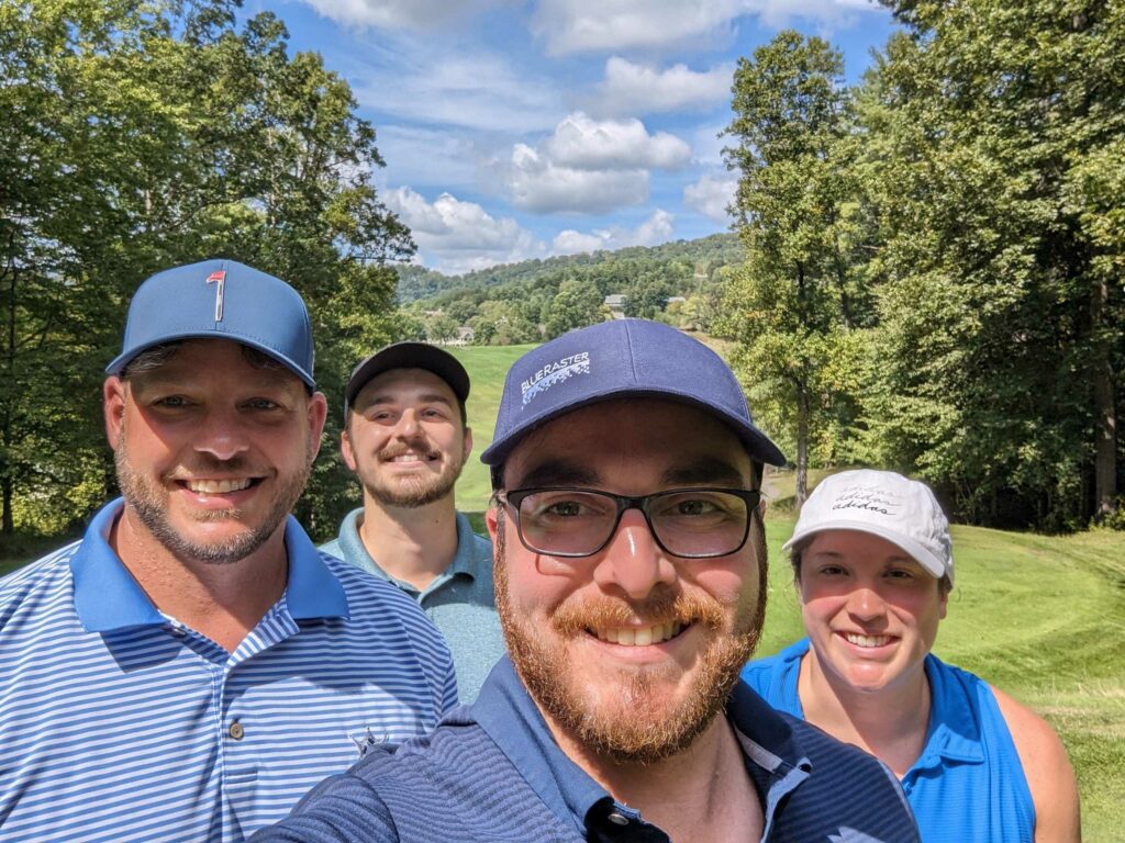
Ben and his teammates at Reem’s Creek Golf Course in Asheville, NC.

The following day kicked off the opening of the conference, exhibit hall, and plenary session. As a platinum sponsor of the conference, Chris and Ben were given the opportunity to introduce Blue Raster to the community and present company information during the Vendor Parade. The opening of the exhibit hall allowed them to connect with current customers like the Town of Chapel Hill, North Carolina businesses, and state and local government GIS professionals to understand their current GIS needs and showcase Blue Raster’s latest solutions and services.

Presenting at NCAUG

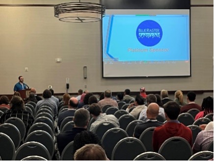
Chris and Ben presented Blue Raster’s work with the City of Manassas Park, VA, in support of the conference’s theme of innovation in GIS. The presentation told the story of how Blue Raster helped Manassas Park transform their GIS practices, bringing modern solutions to multiple departments and highlighting GIS as an authoritative source of information for city workflows. Chris and Ben covered the history of the engagement, how GIS has grown and been adopted by city employees, and how GIS integrated and improved existing systems. One highlight of the presentation was the deep dive into Manassas Park’s ArcGIS Velocity deployment for public safety and public works vehicles. The topic of real-time data in GIS was a persistent theme at the conference and Blue Raster is excited to support organizations looking to add these capabilities to their GIS practices.
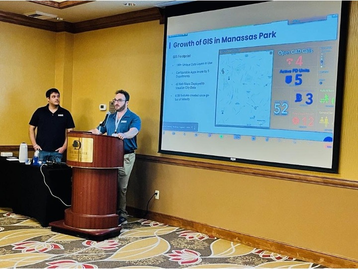
Chris and Ben presenting Blue Raster’s ongoing work with the City of Manassas Park, VA.

Parting Thoughts

NCAUG’s fall conference was a great way to connect with GIS professionals and get more involved in the North Carolina GIS community. Both Chris and Ben enjoyed getting to meet new people and reuniting with old customers and colleagues. Blue Raster looks forward to the next NCAUG event and working with those we met at this year’s conference to help solve their GIS problems with advanced solutions.
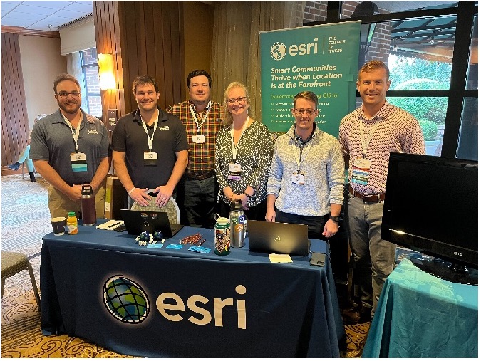
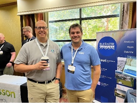
Blue Raster and the local North Carolina Esri team continuing to build a strong partnership.

Esri Streams Real-Time Data to ArcGIS Online with Velocity

It’s no secret that data empowers educated decision-making; however, with our rapidly evolving data landscape, this cannot be a stagnant process. As the need for real-time data continues to rise, the options that allow us to access the most current information only get better.

To offer this level of real-time data monitoring to ArcGIS Online users, Esri developed ArcGIS Velocity to integrate with IoT sensors, allowing users improved access to up-to-the-minute data. ArcGIS Velocity is Esri’s cloud-based Saas Solution for near real-time data streaming and Big Data Analytics. Similar to how Geoevent for ArcGIS Enterprise allows the ingestion and visualization of data streams, Velocity takes advantage of Kubernetes in the cloud to offer streaming and analytics of massive-scale datasets—that would otherwise be too large for analysis without dedicated computing infrastructure.

ArcGIS Velocity Brings Data Streaming and Big Data Analytics to Our Fingertips

ArcGIS Velocity allows users to configure data feeds from cloud service providers such as Azure and AWS, web messaging formats like HTTP and RSS, or directly from Automatic Vehicle Locator (AVL) providers, such as Geotab. Once a data feed has been established, the stream can be integrated directly into ArcGIS Online anywhere there is support for Stream Services.

Users can also use the established feed as a source in Velocity Analytics to enhance the feed with outside data sources or make on-the-fly calculations before being published as a Hosted Feature Service in ArcGIS Online. Enhancements include:

  • Adding indicators from Esri’s Living Atlas using spatial joins
  • Summarizing values from multiple sources to create a composite score or average sensor reading over time
  • Calculating motions statistics like compass bearing and movement speeds for AVL

Velocity also allows for multiple feature layers to be published from the same source, making it possible to keep a historic archive of all data collected from a feed for long-term analysis while also separately publishing the most up-to-date data.

Velocity’s Big Data Analytics gives users the ability to analyze massive amounts of data without the need for their own on-premises or cloud infrastructure. Taking advantage of Kubernetes to allow for scalable processing, users have access to Velocity’s cloud infrastructure to run large-scale analysis on data from sources such as:

  • Data in their own existing feeds and historic feature services
  • Hosted services published to the web
  • Datasets hosted in cloud storage—like Azure Blob Storage and Amazon S3

Big Data Analytics in Velocity gives users the ability to process massive datasets, including multiple CSVs from S3 hosting millions of individual data records, and create a predictive model of things like forest loss, crime hotspots, or future crop yields based on previously collected data.

AVL

Deploying ArcGIS Velocity for Blue Raster’s Local Government Clients

Blue Raster understands the value ArcGIS Velocity can bring to customers. Since 2020, we have been working with the City of Manassas Park in Northern Virginia to implement ArcGIS workflows and solutions citywide—supporting law enforcement, fire safety, zoning, public works, and more.

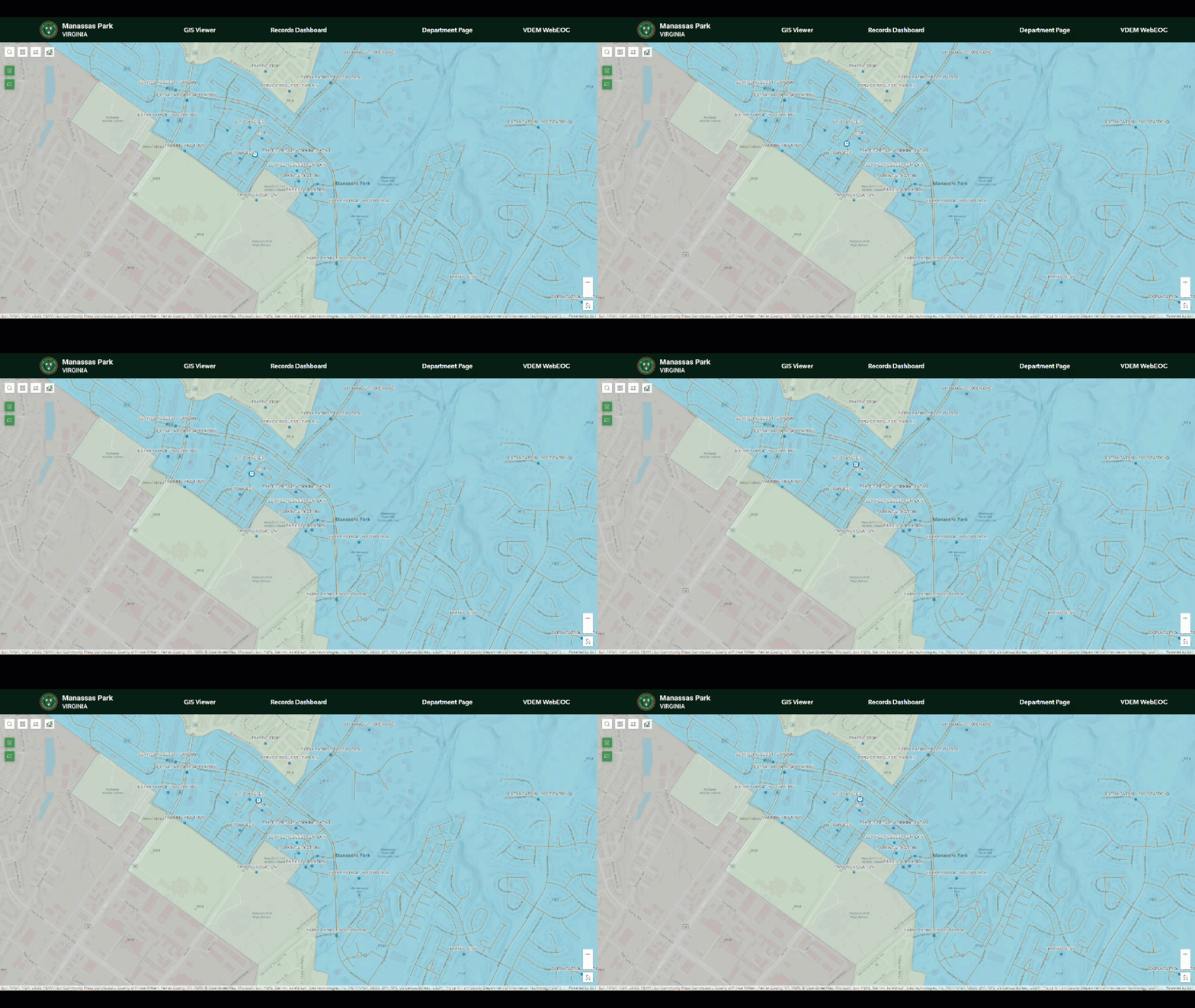
Manassas Park needed the ability to visualize AVL in some of their public safety vehicles. We were able to configure two feeds as an early concept for the city—making them an early user and success story for ArcGIS Velocity.

  1. The first feed was processed from AVL units through Azure Event Hub to ArcGIS Velocity.
  2. The second feed was for the city Computer Aided Dispatch that is served by an HTTP service using Azure Function Apps to prepare the data for ArcGIS Velocity.

The work for Manassas Park was even the focus of an Esri case study—published in the fall of 2022—highlighting the adoption of ArcGIS Velocity by a city government. This story has also been presented by Esri and Blue Raster at FedGIS 2023.

As the need for real-time data monitoring expands, Blue Raster is excited to share the success of ArcGIS Velocity for Manassas Park as we explore ways to increase the use of Velocity for more of the Manassas Park fleet. ArcGIS Velocity offers a unique product for real-time data visualization and incorporation into many applications on the ArcGIS Platform, as well as seamless integration into existing Cloud GIS Infrastructure with the added benefit of access to Big Data Analytics.

Real-Time Data Experts

As an Esri Gold Business Partner in the State and Local Specialty, Blue Raster is the service provider you can trust with your real-time data needs.