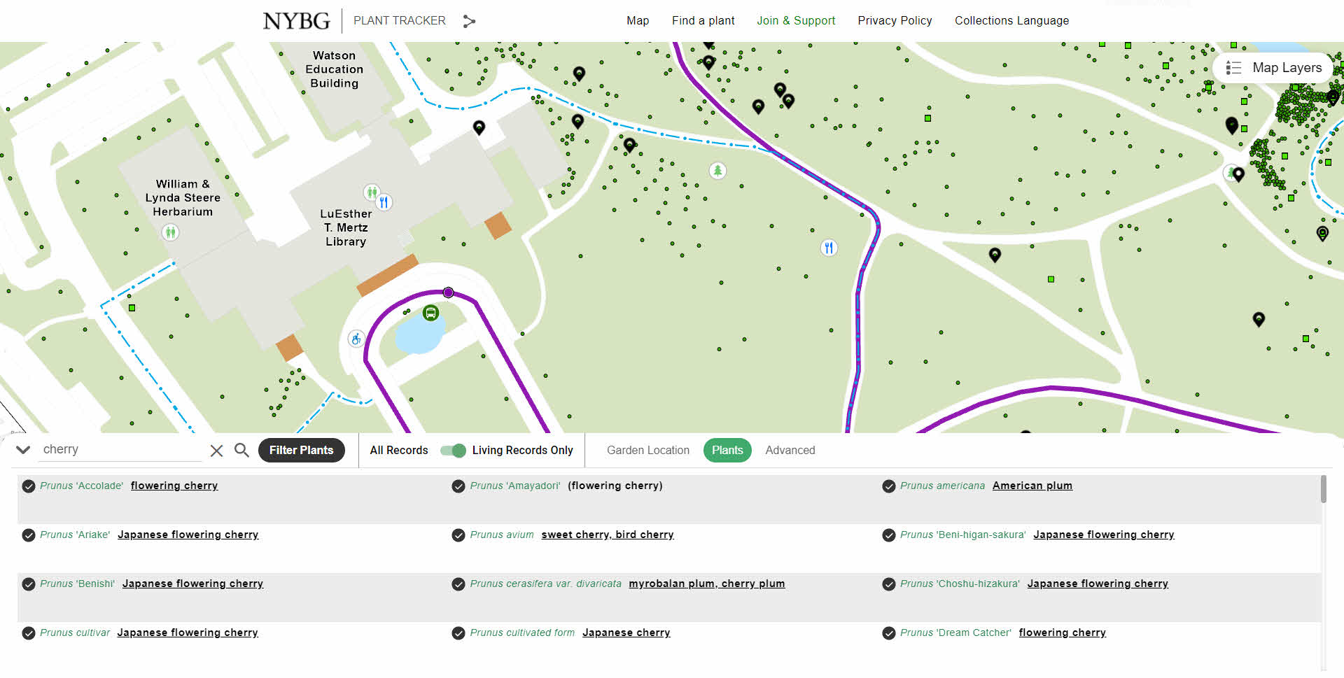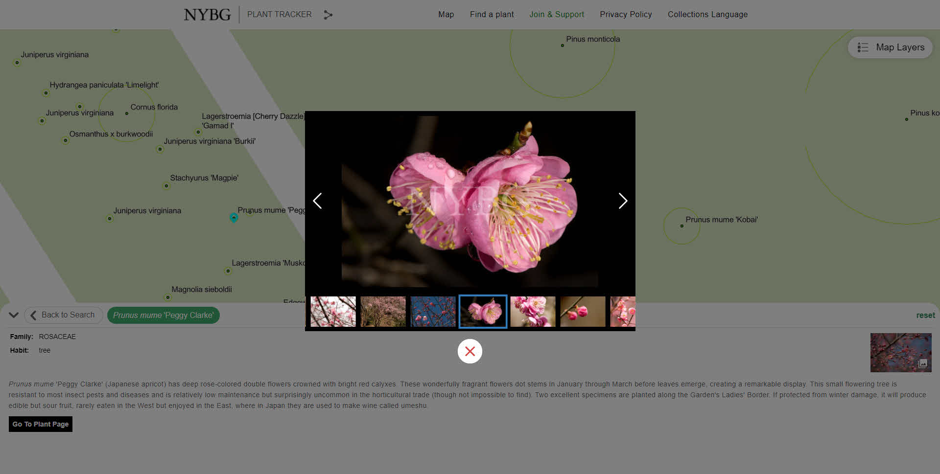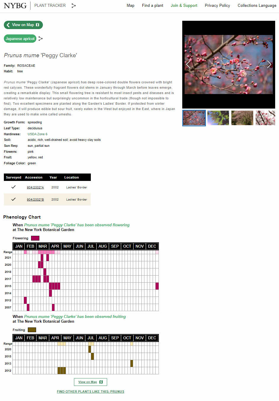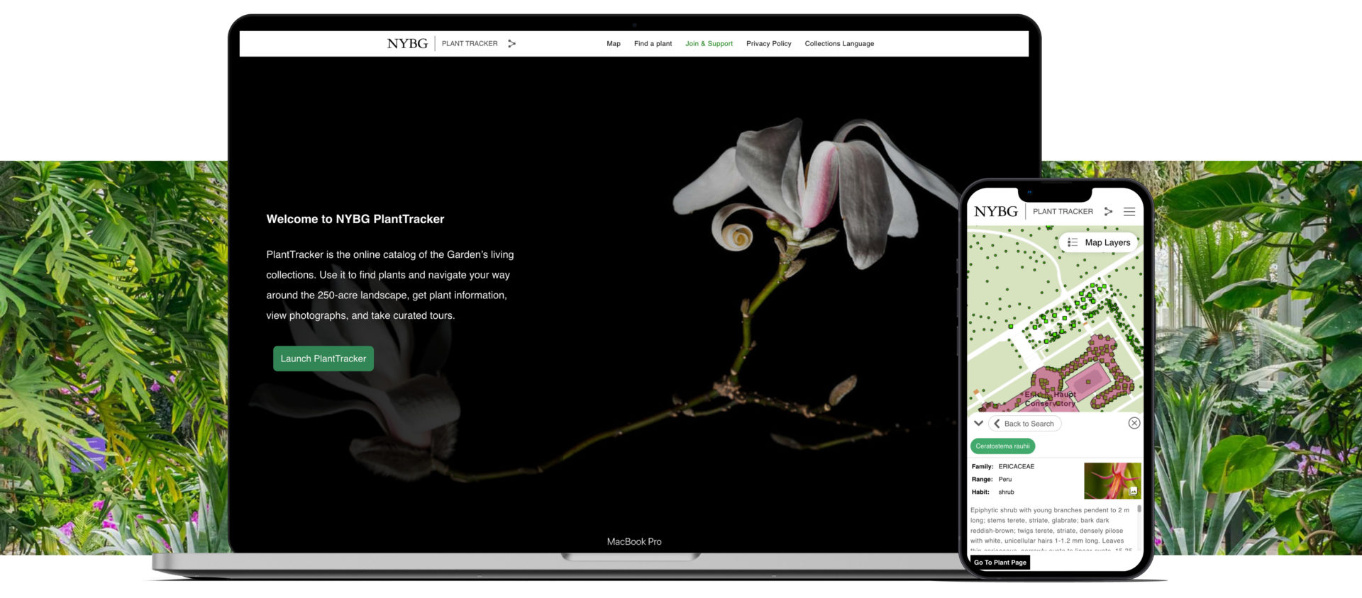
Established in 1891 and covering 250 acres in the Bronx, New York Botanical Garden is the largest urban public garden in the United States. With the beauty of the collections, landscapes, and gardens it's no wonder why over one million people visit the garden annually. Looking to upgrade their public mapping presence and expand internal use of GIS, NYBG and Blue Raster partnered to develop PlantTracker. Replacing a previous tool, PlantTracker is the online catalog of NYBG's living collections used to find plants, navigate the grounds, get plant information, view photographs, and take curated tours.
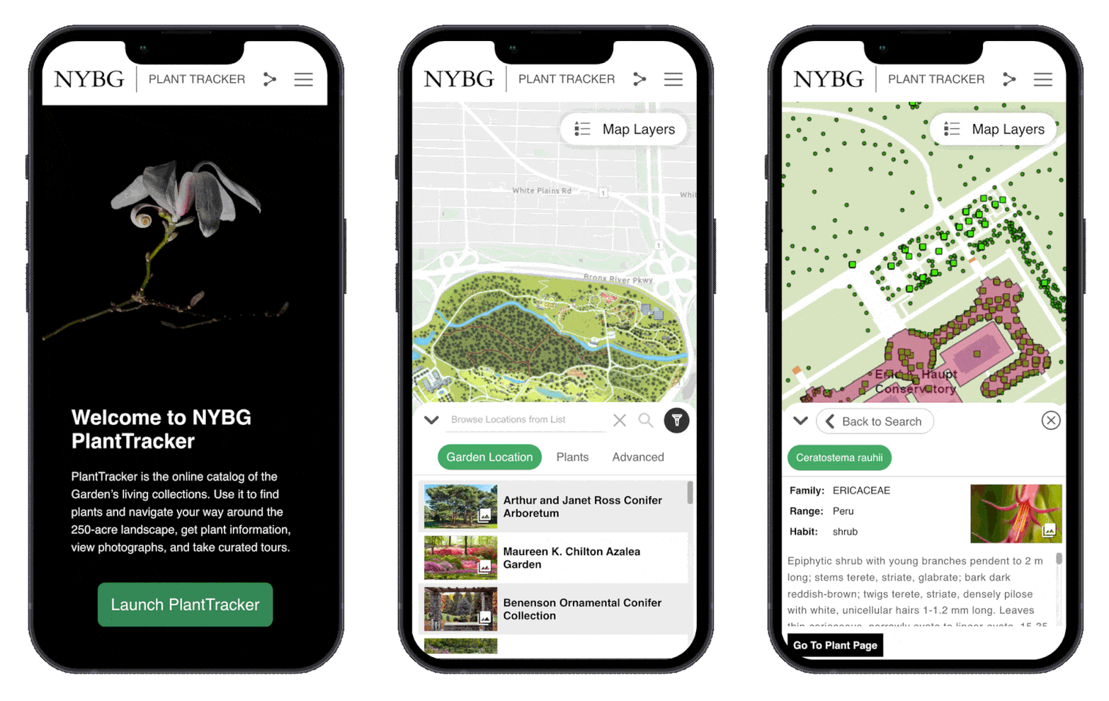
PlantTracker aides the public onsite and from home and also daily workflows of NYBG staff and the institutions educational programs rely on the tool. Funded through an IMLS Grant, PlantTracker replaces the legacy Garden Navigator application and provides an enhanced user experience with a map-centric and mobile-first design.
Blue Raster first deigned a GIS architecture environment and installed and configured ArcGIS Enterprise. Next, Blue Raster had to create many spatial datasets for use in GIS by converting existing CAD files and tables. This included working with exports of plants managed through BG-Base, totaling over 143,000 living and historical records. The GIS Team at Blue Raster improved the spatial accuracy of almost 700 location codes used for mapping and outlining the main garden locations. Plant photo workflows were also upgraded by integrating with the Asset Bank API.
In addition to PlantTracker, GIS upgrades allowed the opportunity to integrate Esri mobile workflows for staff. Configuration with ArcGIS Field Maps and Workforce for ArcGIS expands plant mapping workflows, allowing workers to update existing location, condition and measurement data in the field. Blue Raster works closely with BG-Base to sync both systems through a series of Python scripts that run nightly and as often as every five minutes. This means NYBG can continue to use BG-Base as the system-of-record for their collections, but take full advantage of GIS for mapping applications and field workflows.
NYBG has embraced GIS in a big way. In short time, a lot has been done to improve public and staff workflows around mapping. Explore NYBG PlantTracker to see for yourself!
Learn more about Blue Raster's work with public gardens, cemeteries, and arboretums here.
Contact us today!
- Posted in
- Public Gardens
- ArcGIS Enterprise
- Conservation
- Design
- Development
- Esri
- GIS
- Infrastructure
- JavaScript API
Related Posts
- Esri ArcGIS Cloud Specialty: Elevating our clients’ GIS capabilities to the sky
- Public Gardens on Display in Washington, DC
- Integrating Field GIS at Green-Wood Cemetery
- South Park Arboretum’s Plant Finder uses ArcGIS Experience Builder to Showcase Restoration Efforts
- APGA Puts on a Texas-Sized Show in Fort Worth

