Filter

Mapping Food Security: Blue Raster and USAID Zones of Influence

Blue Raster is excited to announce another collaboration with ICF International. In addition to The Demographic and Health Surveys Program,  Blue Raster partners with ICF for the Surveys for Monitoring in Resilience and Food Security (SMRFS) project. This initiative, supported by the U.S. Agency for International Development’s (USAID) Bureau for Resilience, Environment, and Food Security (REFS) and Feed the Future, focuses on monitoring progress towards combating global hunger and enhancing food security through advanced data collection and analysis.

According to ICF, “Data collected through these efforts will support monitoring and evaluation of important U.S. government strategies like the Multi-sectoral Nutrition Strategy, the Global Water Strategy and the Feed the Future Global Food Security Strategy. “

Leveraging GIS for Impact

Geographic Information Systems (GIS) play a crucial role in the SMRFS project. The team utilizes ArcGIS for planning and producing detailed reports that highlight the Zones of Influence (ZOI). These maps are indispensable tools for policymakers and stakeholders, providing clear visualizations of critical data.

SMRFS food security project map SMRFS food security project map


Blue Raster’s Role

Blue Raster supports SMRFS with our expertise in geospatial technology:

  • PowerBI Dashboards: We have created dynamic dashboards to visualize survey monitoring results effectively.
  • On-Demand Maps: Our team produces detailed maps for comprehensive reporting.
  • GIS Training Curriculum: We developed an in person training program for project partners in Uganda, ensuring they can effectively understand how to utilize GIS tools.

Explore More

Discover more about the project at this link, and learn how Blue Raster is contributing to global food security efforts through our innovative projects on our website.

At Blue Raster, we are committed to using cutting-edge geospatial solutions to address some of the world’s most pressing challenges, ensuring a more resilient and food-secure future. 

Contact us today to get started.

Contact Form

  • This field is for validation purposes and should be left unchanged.

Virtualizing ArcGIS in the Cloud

Blue Raster helps clients achieve rapid, cost-effective cloud solutions for server and application hosting. Our team is now taking this concept a step further to completely Virtualize your ArcGIS Environment. As an Amazon Web Service and Microsoft Azure partner, our team strives to understand the latest ways to use GIS systems more efficiently.Amazon Web Service Partner

Coupled with ArcGIS Pro, an application which handles licensing completely in the cloud, our team has been able to provide full GIS work spaces for several organizations. Our team works with a variety of cloud hosting options including AWS WorkSpaces, AWS AppStream, and Azure Virtual Desktops, each of these options providing a variety of benefits:

  • Removes Operating System requirements
  • Eliminates the need for high performance hardware
  • Offers scalable solutions for organizations with many software users
  • Utilizes the ArcGIS Pro Parallel Processing capabilities, allowing multiple CPU, cores, or processes to work on a large job at the same time
  • Provides more cost efficient solutions for long running, highly intensive workflows

Blue Raster is working with the Natural Resource Defense Council and the Demographic and Healthy Surveys Program to build all encompassing cloud environments. The pilot cloud environment Esri ArcGIS Pro Cloud hooks into existing systems and caters to the needs of the organization. For example, the addition of Amazon FSx and Attached Storage to easily share files from a local, network, or virtual desktop drive. Our team can also integrate these work spaces with previously existing Active Directory and Single Sign On (SSO) technologies for large-scale, organizational access.

Ben Mayala, the Senior GIS Coordinator at the Demographic and Health Surveys Program, has been using his Amazon Web Service WorkSpace to run complex, statistic and spatial analysis which was not only taking days to complete, but completely using up machine resources while doing so.

"So far the WorkSpace is really good. It's loading the Geospatial Covariates super fast, data extractions are super fast, and I've already gotten through over half my work" 

Ready to find out more?

Contact us today to learn about ways we can make the cloud work for you.

Esri User Conference 2019: The Blue Raster Experience

Esri UC: The SuperBowl of the Geospatial Industry

The Esri User Conference is the biggest GIS event of the year. This year, the San Diego Convention Center was once again filled with a record-breaking number of geolocation enthusiasts; over 17,000 attendees. The Blue Raster team was excited to participate and showcase our latest work, meet new friends and learn from other GIS professionals.

Blue Raster Team at Esri UC 2019

With ideas flying and new technologies being unveiled, we walked away excited for what is to come:

  • Esri ArcGIS Hub – It was amazing to see all the ways cities and organizations are partnering with residents, non-profits, business, and universities through ArcGIS Hub. The Hub work that the City of Zwolle, Netherlands, and the District of Columbia government are doing was super inspiring!
  • ArcGIS Urban – This is the ultimate city planning tool. It takes into account setbacks, zoning regulations and overrides, and provides capabilities to compare large-scale 3D projects across multiple parcels and development projects.
  • ArcGIS Indoors – ArcGIS Indoors is enabling organizations to provide the ultimate workplace experience for employees through workplace maps and location data to better manage workplace operations. We are proud to announce our new ArcGIS Indoors specialty from Esri.
  • ArcGIS Enterprise 10.7.1 – This new version of ArcGIS Enterprise has reduced server memory requirements have by 95%. This means that the same hardware should be able to do MUCH more now.

The conference kicked off with the Opening Plenary featuring Dr. Jane Goodall and an exciting new StoryMap, ENGAGE – LISTEN – UNDERSTAND – ACT, that the Jane Goodall Institute and Blue Raster teamed up to create. Built with the brand new StoryMaps for ArcGIS template, this story map outlines concerns over chimpanzee populations and the environment, the steps in the process of 'Tacare' approach toward conservation, and success stories with this conservation approach. We are so grateful to have had the opportunity to work with the Jane Goodall Institute and meet Jane and her team at the UC conference this year. We hope to see Jane in DC when she visits in September.

Jane Goodall and the Blue Raster Team
Danny Cassiday at Esri UC 2019

On Monday, one of our GIS Analysts, Danny Cassiday, brought his knowledge to sunny California to present a lightning talk "My Life as a (Version) Control Freak: Versioning ArcGIS Online Items with Python" sharing his experiences and thoughts on applications of Python in versioning ArcGIS Online items.

On Tuesday, Blue Raster was proud to sponsor and attend the Sustainable World Social, a networking event focusing on the applications of GIS in the context of conservation and sustainability.

Following the social, we headed over to our annual Fish Taco Night at the South Beach Bar & Grille.

Blue Raster Taco Night  at South Beach Bar & Grille
Blue Raster Taco Night
Blue Raster Team at Taco Night

We enjoyed seeing all those who stopped by our booth this year, from professionals in conservation and forest management to real estate development and utility support. We were able to demo some of our latest applications and invited attendees to visit our Map Gallery Posters. The Gallery featured our work with Forest Stewardship Council providing an interactive outlet through ArcGIS Operations Dashboards to explore where FSC Certified Forests and Certificates currently are located for verification and accountability purposes as well as our partnership with The Demographic and Health Surveys (DHS) Program, USAID, UNICEF, and the Nature Conservancy utilizing ArcGIS StoryMaps to track the progress of the Sustainable Development Goals. We also had the opportunity to display a poster covering the drone missions we flew with The Green-Wood Cemetery using Esri’s Drone2Map and ArcGIS Online Web Scenes to provide high-quality imagery that will identify invasive grass for measurement and monitoring in partnership with Cornell University.

Forest Products without Compromise map
Measuring Success map
Improving Drone Missions with Lidar Support map

Wednesday evening was family night, allowing us to engage with the entire GIS community and interact with enthusiasts, young and old. Our Blue Raster temporary tattoos were a hit with the kiddos! Between our booth on the expo floor, the many sessions and socials, family night, and our legendary fish taco night, we had so many wonderful moments. Check out some of our favorites:

Family Night at Esri UC 2019
Christina passing out candy at Family Night.
Some of our favorite moments from the UC this year
Blue Raster booth for Esri UC 2019
Our Blue Raster women in GIS Esri UC 2019

Interested in working with us?

Reach out to see how we can help you harness GIS technologies, mapping solutions, and data analysis to tackle the challenges you face.

The Magic of Maps: Presenting Esri StoryMap Beta

Blue Raster recently had the opportunity to create and present a StoryMap using the new ArcGIS StoryMaps (currently in Beta) for Esri’s “The Magic of Maps: How to Engage and Inspire Your Community” event. At this event, we were able to introduce our own thoughts on the new platform, as well as give advice on how organizations are able to utilize these tools successfully. The StoryMap itself, titled Measuring Success, goes into detail on how some of Blue Raster’s nonprofit partners are tracking progress of the United Nations’ Sustainable Development Goals. It addresses five of the seventeen SDGs and encompasses the work of The Demographic and Health Surveys Program, UNICEF, and The Nature Conservancy.


The Magic of Maps

The Magic of Maps

The presentation focused heavily on how organizations can be successful in the creation and utilization of their StoryMaps, including knowing the target audience, recognizing the potential of a successful StoryMap, and creating a concise and engaging design. Additionally we were able to showcase the features included in the new beta version of ArcGIS StoryMaps. With the new, modern platform users are able to pick and choose distinct elements to piece together, rather than having to select a set template. Uniform text and font size options also help to eliminate the complexity of styles and reduce design workload. Dynamic media types such as maps, videos, and images can be seamlessly integrated into a number of StoryMap features to further engage the audience. Most importantly, the new builder has a simplistic user interface that allows anyone regardless of prior experience (or lack thereof) to produce a professional-caliber StoryMap.

Special thanks to the members of the Blue Raster team who collaborated to create and present this StoryMap: Project Manager Christina Phang, UI/UX Designer Rachel Stock, GIS Intern Kelly Motzko, and GIS Intern Joe Nadonley.

You can view the slides and listen to the presentation here.

Blue Raster in Geneva: GIS for a Sustainable World

GIS for a Sustainable World

Geneva, Switzerland photo
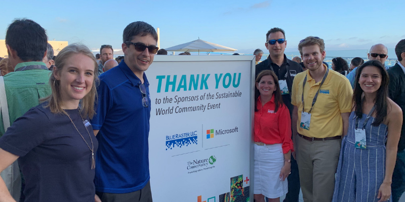
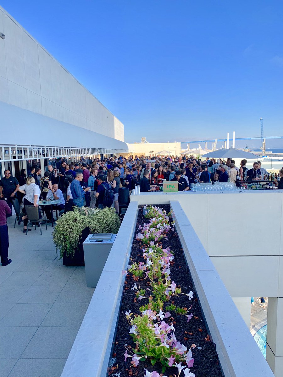
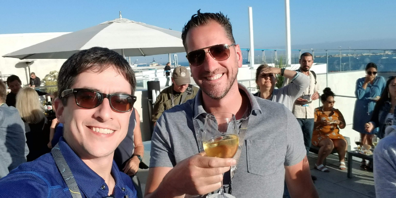
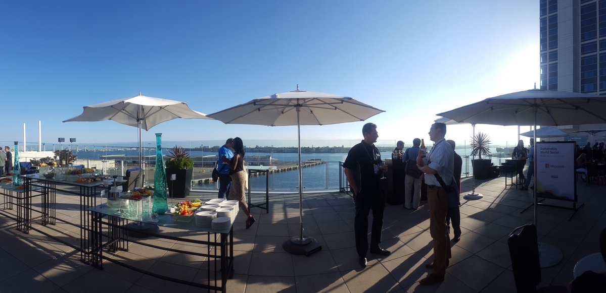
GIS takes us all over the world, and most recently it took Blue Raster to the GIS for a Sustainable World conference in Geneva, Switzerland. We were honored to sponsor this international gathering of professionals, hosted by Esri and the United Nations Institute for Training and Research (UNITAR-UNOSAT). This conference was an interactive, engaging community of sharing experiences applying GIS and intelligent mapping for people, the planet, prosperity, and peace.

Sustainable World conference photo
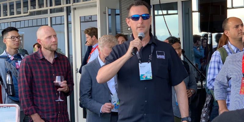
Blue Raster has delivered GIS and the science of where for over fifteen years, making an impact on global sustainability. During the Plenary, we had the opportunity to share one story in particular — our work with the Jane Goodall Institute bringing community-based conservation tactics into Tanzania. Working with the Jane Goodall’s team has shown the importance of collaborating with professionals who have similar goals and unique expertise and experiences. The GIS for a Sustainable World conference was an opportunity to develop many long-term relationships and planted the seeds for collaboration across the globe.

Blue Raster’s projects and customers are at the crossroads United Nation’s Sustainable Development Goals. Three examples are highlighted in Measuring Success: Sustainable Development Goals, a storymap for the Demographic and Health Surveys Program that shares 3 key measurements of progress towards the UN’s goals.

To read more about the conference, visit the information page.

Sustainable World conference photos
Geneva photos

Measuring the SDGs


Page 4 of 4