Skip to content
About
About Us
Careers
Events
GIS for Good
Contact Us
Services
Web Application Development
Mobile Application Development
Managed Services
Software & Data Solutions
GIS Consulting
UX | UI Design
Capabilities
Stories
Resources
Press
Webinars
Newsletters
Branding & Styling
Partnerships
Esri ArcGIS Solutions
REGRID Parcel Data
Planet Labs Imagery
Microsoft Solutions
Menu
Menu
Archive
Agriculture
Answering the Call for More Sustainable Groundwater Management with GRAT
November 8, 2022
Mapping America’s Wine Growing Regions
September 27, 2019
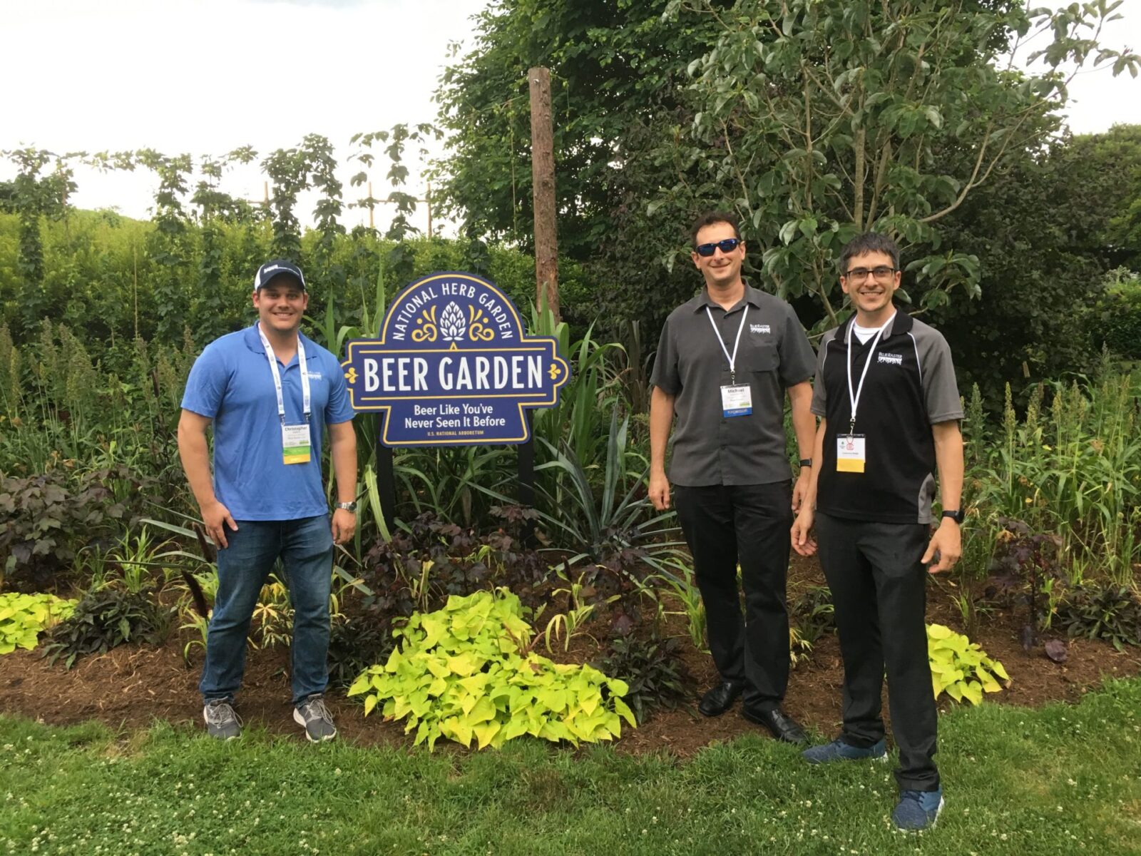
Public Gardens on Display in Washington, DC
July 3, 2019
Using Drones to Advance Turfgrass Science at Green-Wood Cemetery
April 23, 2019
Blue Raster attends the American Public Gardens Association Annual Conference
June 27, 2018
Mapping for a World Without Malnutrition
May 21, 2018
Solving the Water Balance Equation for California
October 25, 2017
Integrating Field GIS at Green-Wood Cemetery
August 30, 2017
Back To Stories & Blog Posts
About
About Us
Careers
Events
GIS for Good
Contact Us
Services
Web Application Development
Mobile Application Development
Managed Services
Software & Data Solutions
GIS Consulting
UX | UI Design
Capabilities
Stories
Resources
Press
Webinars
Newsletters
Branding & Styling
Partnerships
Esri ArcGIS Solutions
REGRID Parcel Data
Planet Labs Imagery
Microsoft Solutions
Scroll to Top