Skip to content
About
About Us
Careers
Events
GIS for Good
Contact Us
Services
Web Application Development
Mobile Application Development
Managed Services
Software & Data Solutions
GIS Consulting
UX | UI Design
Capabilities
Stories
Resources
Press
Webinars
Newsletters
Branding & Styling
Partnerships
Esri ArcGIS Solutions
REGRID Parcel Data
Planet Labs Imagery
Microsoft Solutions
Menu
Menu
Archive
Conservation
How Re:Wild Connected ArcGIS and Airtable Into One Seamless Workflow
May 11, 2026
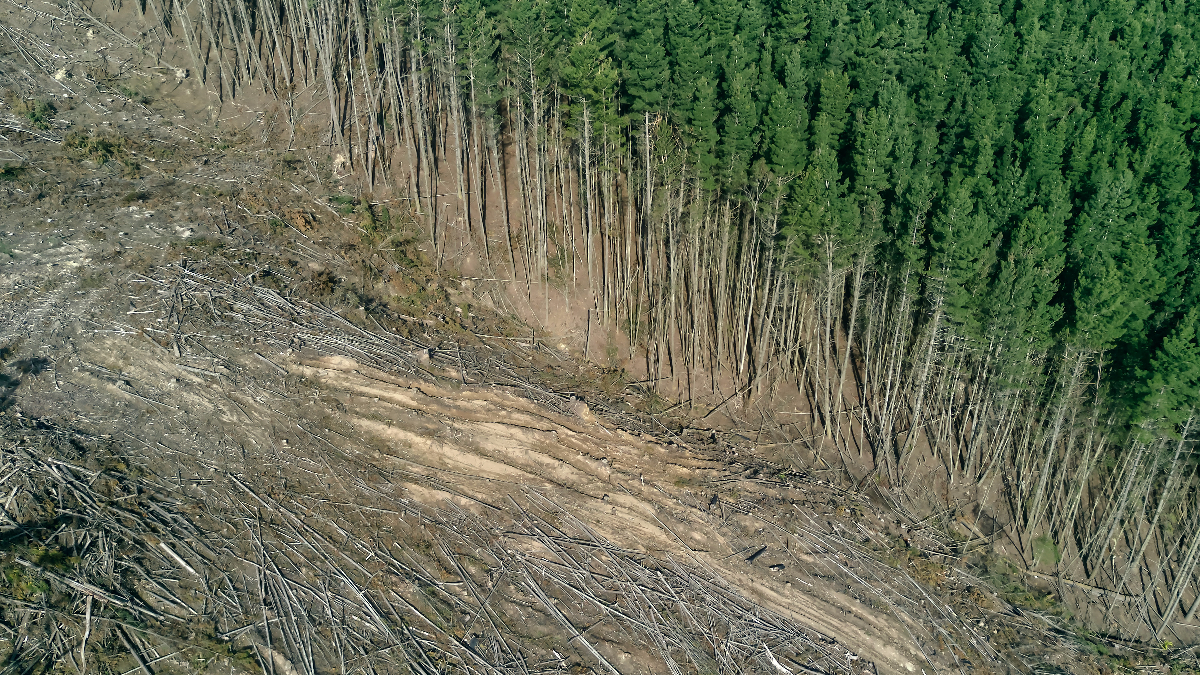
The 2026 LEARN Tool Update Expands Forest Analysis and Reveals New Insights on Harvest Emissions
May 7, 2026
Honoring Dr. Jane Goodall: A Visionary Who Brought People, Nature, and Technology Together
October 7, 2025
Flora Finder: Blue Raster Helps Holden Forests & Gardens Launch First Public Collections Viewer
July 10, 2025
World Forest ID’s Evaluation Platform: Strengthening Supply Chain Transparency with Blue Raster
July 3, 2025
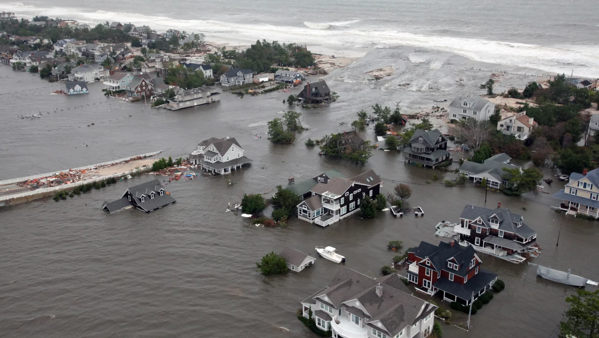
Flood Risk Mapping for Future Planning: Blue Raster and Climate Central Drive Climate Resilience in 2025
June 10, 2025
Promoting Tourism Development Strategy in Canada with GIS and Data-Driven Insights
April 11, 2025
Analyzing The Impact of Sackett v. EPA on Federal Wetlands Protection
March 28, 2025
Empowering Global Conservation with the Jane Goodall Institute’s Tapestry of Hope
March 4, 2025
The LEARN Tool: Everything You Need to Know About its Exciting 2025 Updates
January 29, 2025
1
2
3
…
6
Next »
Back To Stories & Blog Posts
About
About Us
Careers
Events
GIS for Good
Contact Us
Services
Web Application Development
Mobile Application Development
Managed Services
Software & Data Solutions
GIS Consulting
UX | UI Design
Capabilities
Stories
Resources
Press
Webinars
Newsletters
Branding & Styling
Partnerships
Esri ArcGIS Solutions
REGRID Parcel Data
Planet Labs Imagery
Microsoft Solutions
Scroll to Top