Skip to content
About
About Us
Careers
Events
GIS for Good
Contact Us
Services
Web Application Development
Mobile Application Development
Managed Services
Software & Data Solutions
GIS Consulting
UX | UI Design
Capabilities
Stories
Resources
Press
Webinars
Newsletters
Branding & Styling
Partnerships
Esri ArcGIS Solutions
REGRID Parcel Data
Planet Labs Imagery
Microsoft Solutions
Menu
Menu
Archive
Disaster Response
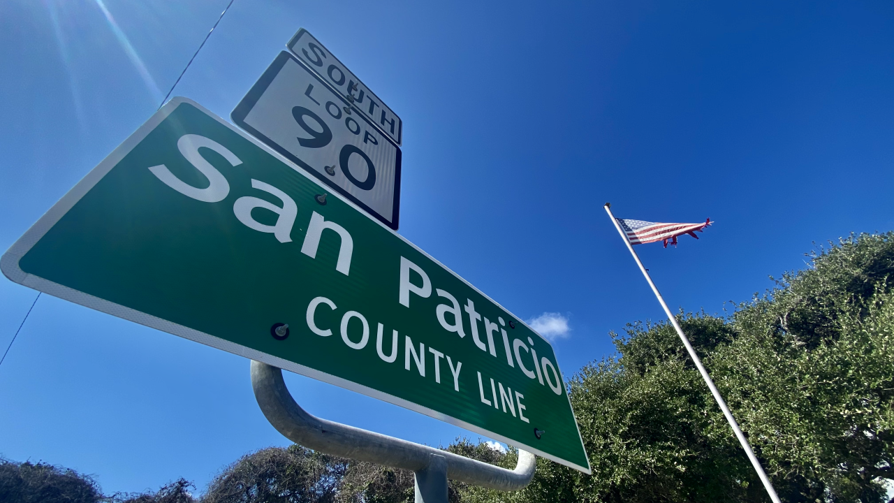
San Patricio County Launches Hurricane Preparedness Viewer
August 26, 2025
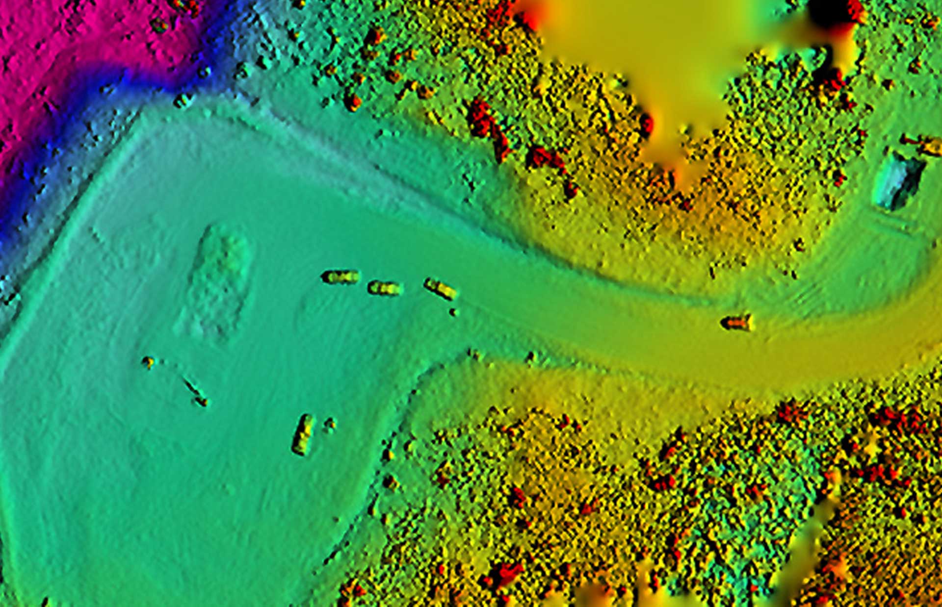
Blue Raster Pioneering Imagery Management Technology and Delivery Workflows with ArcGIS
February 9, 2024
Creating Effective Disaster Preparedness, Response, and Recovery Resources for the Nevada Division of Emergency Management
November 2, 2023
Disposal of Debris after Disaster: Blue Raster partners with CDR Maguire to quantify and monitor disposal of debris material
July 19, 2022
Esri Nonprofit Specialty: Enabling Nonprofits to Use GIS for Greater Impact
August 18, 2021
StoryMaps in the Time of COVID-19: Telling the Story of the Red Cross Response Efforts
May 18, 2020
Back To Stories & Blog Posts
About
About Us
Careers
Events
GIS for Good
Contact Us
Services
Web Application Development
Mobile Application Development
Managed Services
Software & Data Solutions
GIS Consulting
UX | UI Design
Capabilities
Stories
Resources
Press
Webinars
Newsletters
Branding & Styling
Partnerships
Esri ArcGIS Solutions
REGRID Parcel Data
Planet Labs Imagery
Microsoft Solutions
Scroll to Top