Skip to content
About
About Us
Careers
Events
GIS for Good
Contact Us
Services
Web Application Development
Mobile Application Development
Managed Services
Software & Data Solutions
GIS Consulting
UX | UI Design
Capabilities
Stories
Resources
Press
Webinars
Newsletters
Branding & Styling
Partnerships
Esri ArcGIS Solutions
REGRID Parcel Data
Planet Labs Imagery
Microsoft Solutions
Menu
Menu
Archive
Education
Bringing Water Data to Life: Enhancing National Geographic’s World Water Map
August 27, 2025
Plano ISD Find My School App: A New Tool for Easy School Enrollment
June 2, 2025
OC Works: Redefining Career Pathways in Orange County
January 10, 2025
Above the Waters: A Cinematic Journey Through the Delaware River Watershed
January 30, 2024
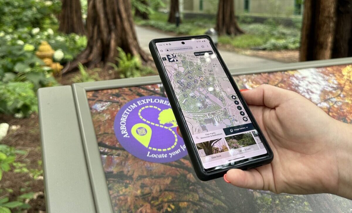
Meet the Beautiful Scott Arboretum of Swarthmore College
August 3, 2023
APGA Puts on a Texas-Sized Show in Fort Worth
June 15, 2023
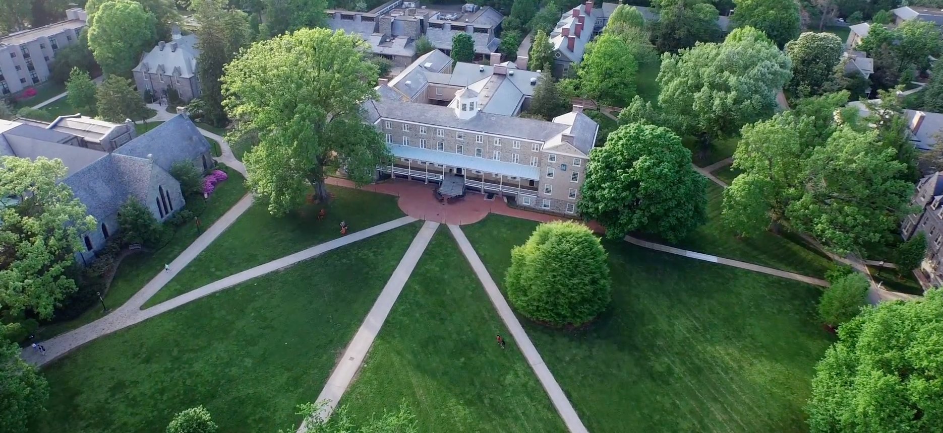
Haverford College Campus Placefinder
August 22, 2022
Esri FedGIS 2020
February 14, 2020
Green-Wood Mobile App: Celebrating Life in one of America’s Historic Cemeteries
September 20, 2019
Following the Student Journey: Education to the Workforce
April 16, 2019
1
2
3
…
5
Next »
Back To Stories & Blog Posts
About
About Us
Careers
Events
GIS for Good
Contact Us
Services
Web Application Development
Mobile Application Development
Managed Services
Software & Data Solutions
GIS Consulting
UX | UI Design
Capabilities
Stories
Resources
Press
Webinars
Newsletters
Branding & Styling
Partnerships
Esri ArcGIS Solutions
REGRID Parcel Data
Planet Labs Imagery
Microsoft Solutions
Scroll to Top