Skip to content
About
About Us
Careers
Events
GIS for Good
Contact Us
Services
Web Application Development
Mobile Application Development
Managed Services
Software & Data Solutions
GIS Consulting
UX | UI Design
Capabilities
Stories
Resources
Press
Webinars
Newsletters
Branding & Styling
Partnerships
Esri ArcGIS Solutions
REGRID Parcel Data
Planet Labs Imagery
Microsoft Solutions
Menu
Menu
Archive
Environment
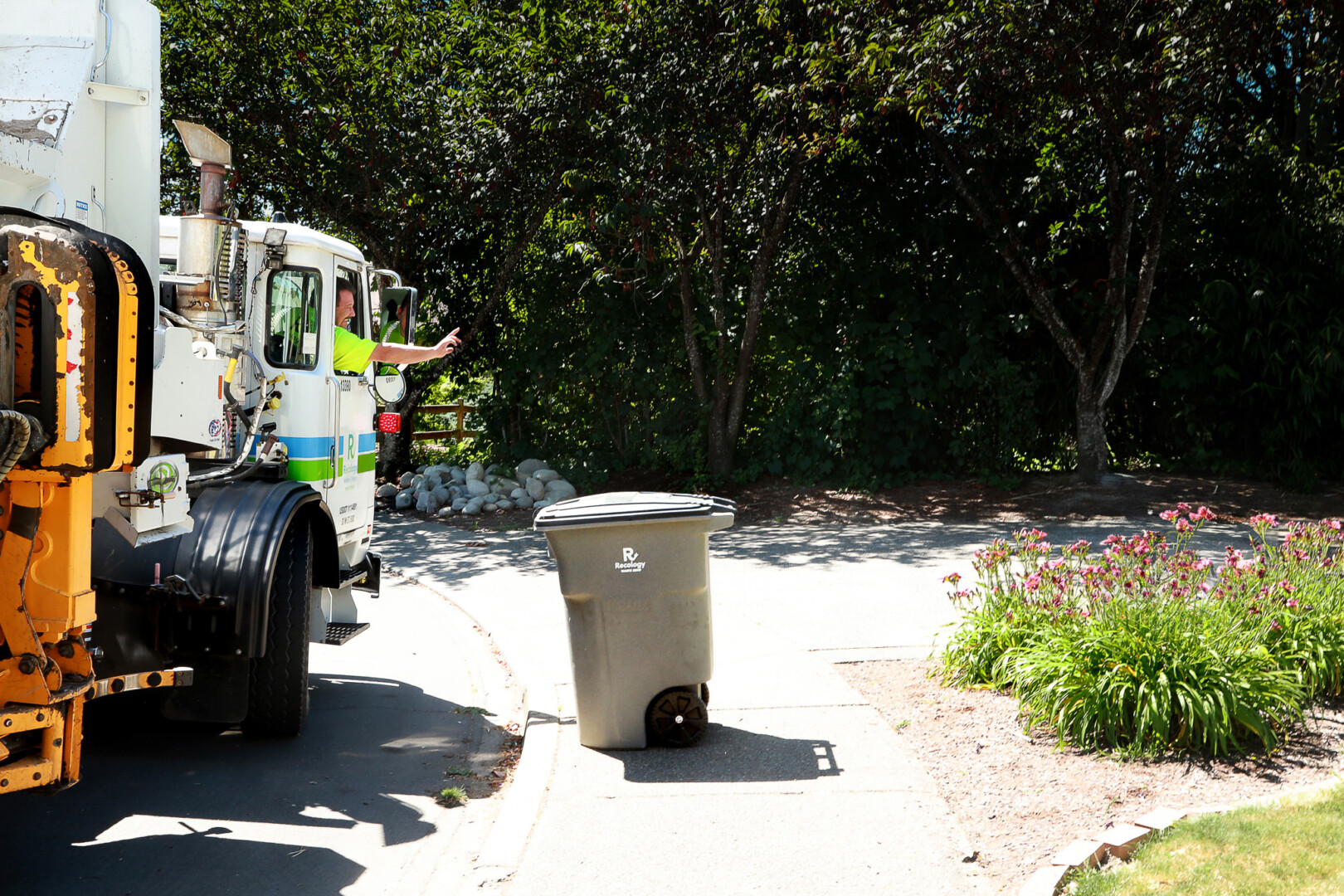
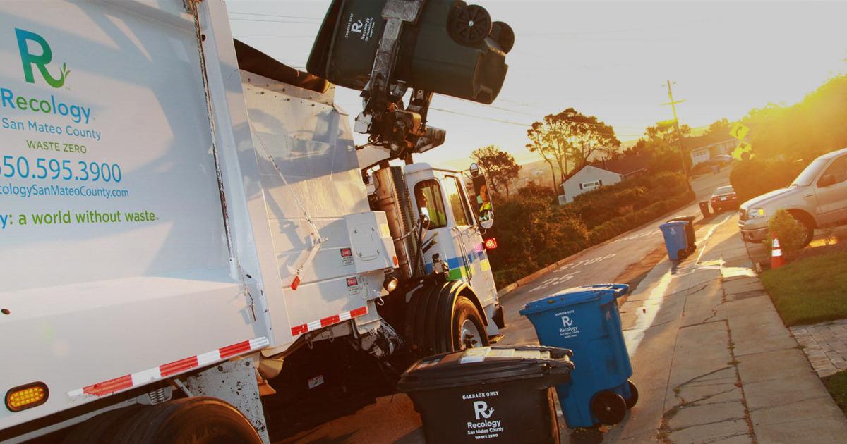
Modernizing Solid Waste Billing for San Mateo County
July 22, 2026
Honoring Dr. Jane Goodall: A Visionary Who Brought People, Nature, and Technology Together
October 7, 2025
Bringing Water Data to Life: Enhancing National Geographic’s World Water Map
August 27, 2025
World Forest ID’s Evaluation Platform: Strengthening Supply Chain Transparency with Blue Raster
July 3, 2025
3D Visualization of Tornadic Mesocyclones Using Voxel Rendering
July 2, 2025
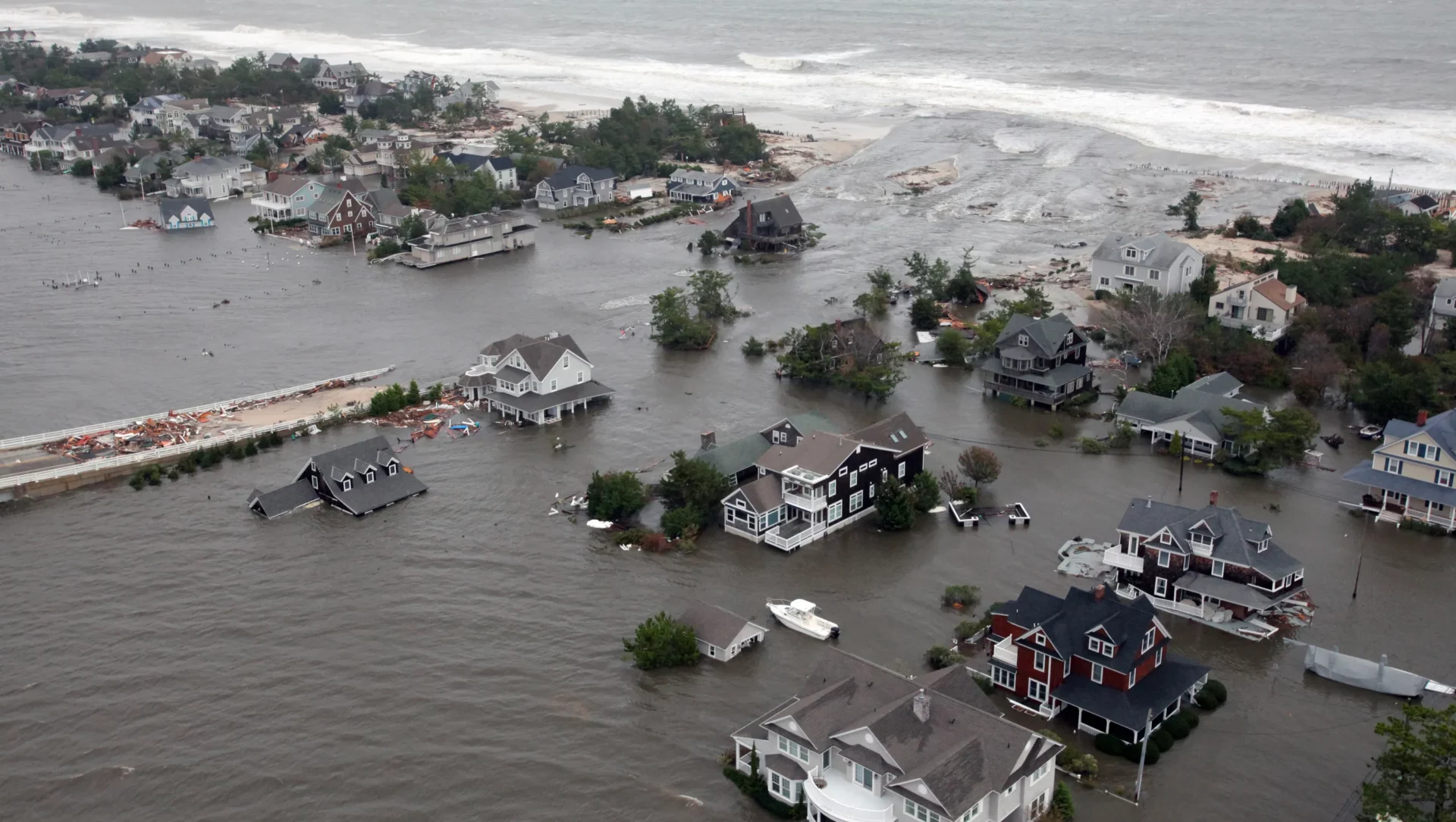
Flood Risk Mapping for Future Planning: Blue Raster and Climate Central Drive Climate Resilience in 2025
June 10, 2025
The New NC Equitable Foodshed Map is Amplifying Support for Farmers and Ranchers in North Carolina
May 6, 2025
Promoting Tourism Development Strategy in Canada with GIS and Data-Driven Insights
April 11, 2025
Utilizing Smart GIS Solutions to Drive California Recycling Mandates
April 7, 2025
Analyzing The Impact of Sackett v. EPA on Federal Wetlands Protection
March 28, 2025
1
2
3
…
13
Next »
Back To Stories & Blog Posts
About
About Us
Careers
Events
GIS for Good
Contact Us
Services
Web Application Development
Mobile Application Development
Managed Services
Software & Data Solutions
GIS Consulting
UX | UI Design
Capabilities
Stories
Resources
Press
Webinars
Newsletters
Branding & Styling
Partnerships
Esri ArcGIS Solutions
REGRID Parcel Data
Planet Labs Imagery
Microsoft Solutions
Scroll to Top