Skip to content
About
About Us
Careers
Events
GIS for Good
Contact Us
Services
Web Application Development
Mobile Application Development
Managed Services
Software & Data Solutions
GIS Consulting
UX | UI Design
Capabilities
Stories
Resources
Press
Webinars
Newsletters
Branding & Styling
Partnerships
Esri ArcGIS Solutions
REGRID Parcel Data
Planet Labs Imagery
Microsoft Solutions
Menu
Menu
Archive
Transportation
Advancing Regional Planning Organizations with Strategic GIS and ArcGIS Enterprise Services
October 17, 2025
Navigating the Future of Transportation with SEMCOG’s Multimodal Tool
July 23, 2024
Changing Lanes with Configurable Solutions in MCDOT’s Bus Rapid Transit Planning Study
November 2, 2023
Building Bridges to Progress: The Inter-American Development Bank’s HIT Platform for Infrastructure and Transport
June 27, 2023
Driving Forward with VDOT’s Integrated Directional Signing Program
March 4, 2022
Keeping Sacramento Moving
July 9, 2021
Track Industrial Spaces in the Mekong Region with the Updated Mekong Infrastructure Tracker
September 29, 2020
Mekong Infrastructure Tracker
May 27, 2020
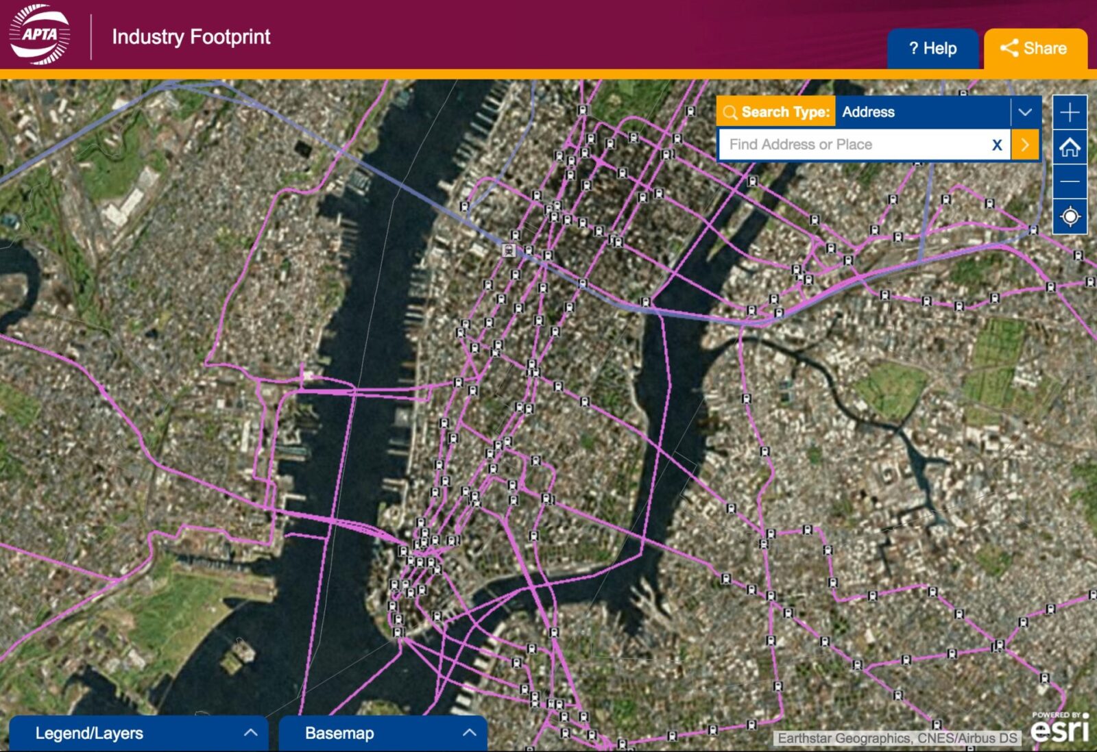
Improving the APTA Industry Footprint
October 30, 2017
New Release: APTA Industry Footprint
October 25, 2016
1
2
Next »
Back To Stories & Blog Posts
About
About Us
Careers
Events
GIS for Good
Contact Us
Services
Web Application Development
Mobile Application Development
Managed Services
Software & Data Solutions
GIS Consulting
UX | UI Design
Capabilities
Stories
Resources
Press
Webinars
Newsletters
Branding & Styling
Partnerships
Esri ArcGIS Solutions
REGRID Parcel Data
Planet Labs Imagery
Microsoft Solutions
Scroll to Top