Skip to content
About
About Us
Careers
Events
GIS for Good
Contact Us
Services
Web Application Development
Mobile Application Development
Managed Services
Software & Data Solutions
GIS Consulting
UX | UI Design
Capabilities
Stories
Resources
Press
Webinars
Newsletters
Branding & Styling
Partnerships
Esri ArcGIS Solutions
REGRID Parcel Data
Planet Labs Imagery
Microsoft Solutions
Menu
Menu
Archive
3D
3D Visualization of Tornadic Mesocyclones Using Voxel Rendering
July 2, 2025
Empowering Global Conservation with the Jane Goodall Institute’s Tapestry of Hope
March 4, 2025
Exploring Commercial Real Estate from a New Perspective: Blue Raster Partners with AerialSphere
July 7, 2023
ArcGIS Urban: Take City Development Further
August 6, 2019
Explore the Indoors with ArcGIS
February 28, 2019
3D Zoning in Washington D.C.
October 24, 2018
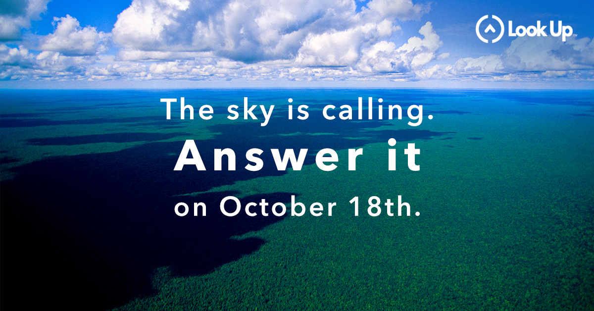
LOOK UP and take a Skyfie
October 18, 2018
A Summer at Blue Raster: Internship Edition
August 30, 2018
The Future of 3D Zoning
November 10, 2017
Exploring George Washington’s Mount Vernon in 3D
March 23, 2017
Back To Stories & Blog Posts
About
About Us
Careers
Events
GIS for Good
Contact Us
Services
Web Application Development
Mobile Application Development
Managed Services
Software & Data Solutions
GIS Consulting
UX | UI Design
Capabilities
Stories
Resources
Press
Webinars
Newsletters
Branding & Styling
Partnerships
Esri ArcGIS Solutions
REGRID Parcel Data
Planet Labs Imagery
Microsoft Solutions
Scroll to Top