Skip to content
About
About Us
Careers
Events
GIS for Good
Contact Us
Services
Web Application Development
Mobile Application Development
Managed Services
Software & Data Solutions
GIS Consulting
UX | UI Design
Capabilities
Stories
Resources
Press
Webinars
Newsletters
Branding & Styling
Partnerships
Esri ArcGIS Solutions
REGRID Parcel Data
Planet Labs Imagery
Microsoft Solutions
Menu
Menu
Archive
Climate
Bringing Water Data to Life: Enhancing National Geographic’s World Water Map
August 27, 2025
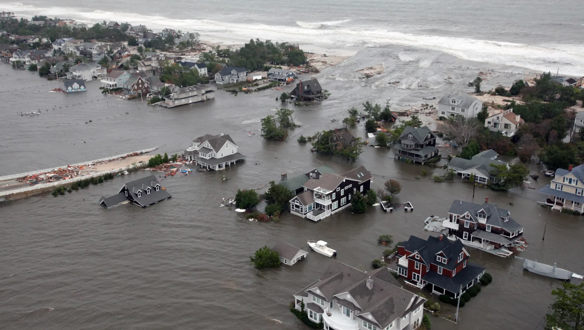
Flood Risk Mapping for Future Planning: Blue Raster and Climate Central Drive Climate Resilience in 2025
June 10, 2025
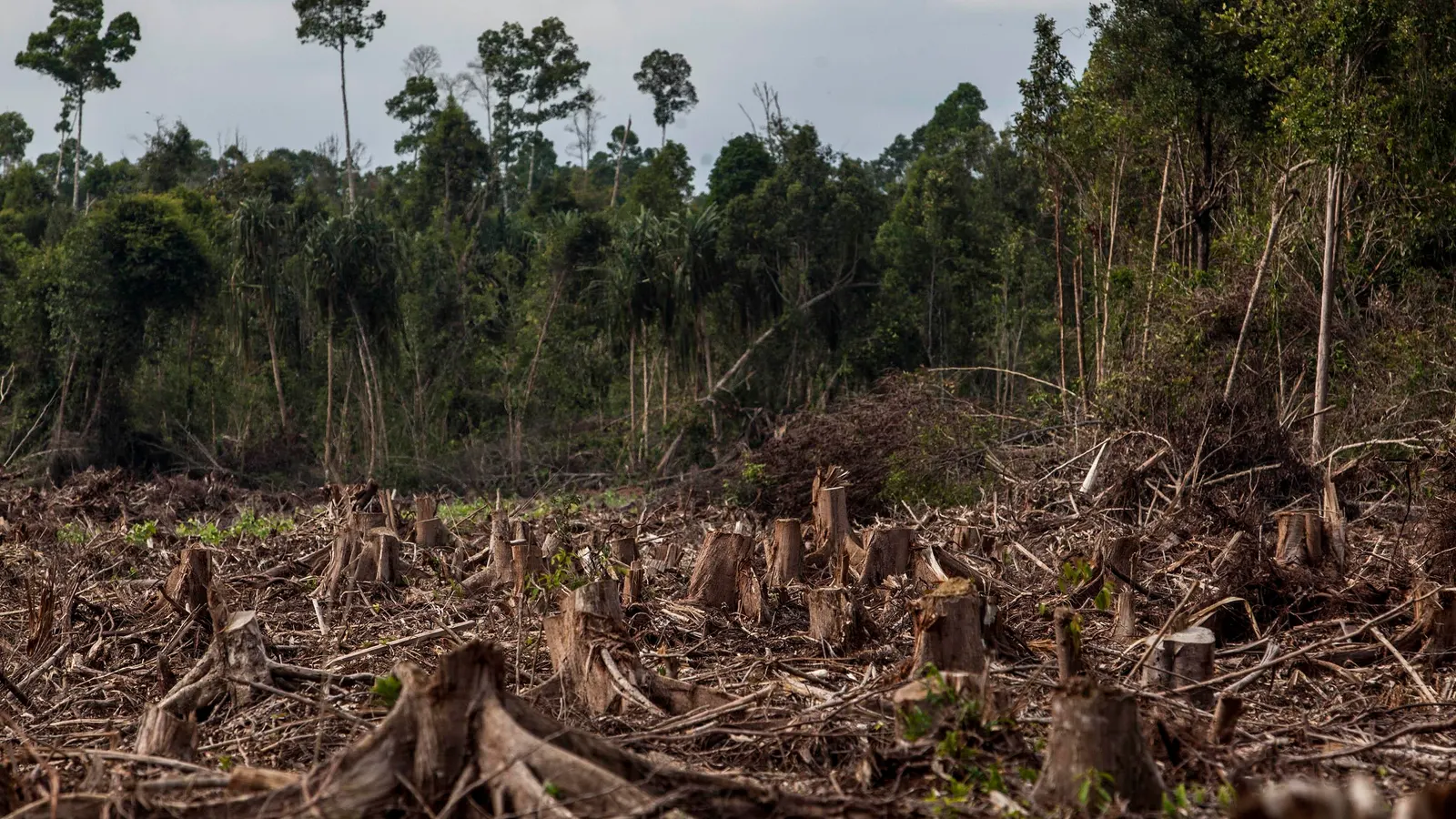
New Features in the LEARN Tool Expand Functionality for Assessing GHG Emissions from Land Use
April 26, 2023
Modeling a Decision Support System in Response to COVID-19
March 2, 2022
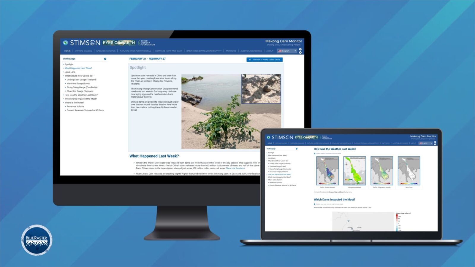
Mekong Monitor – Providing Vital Insight for River-dependent Communities
March 2, 2022
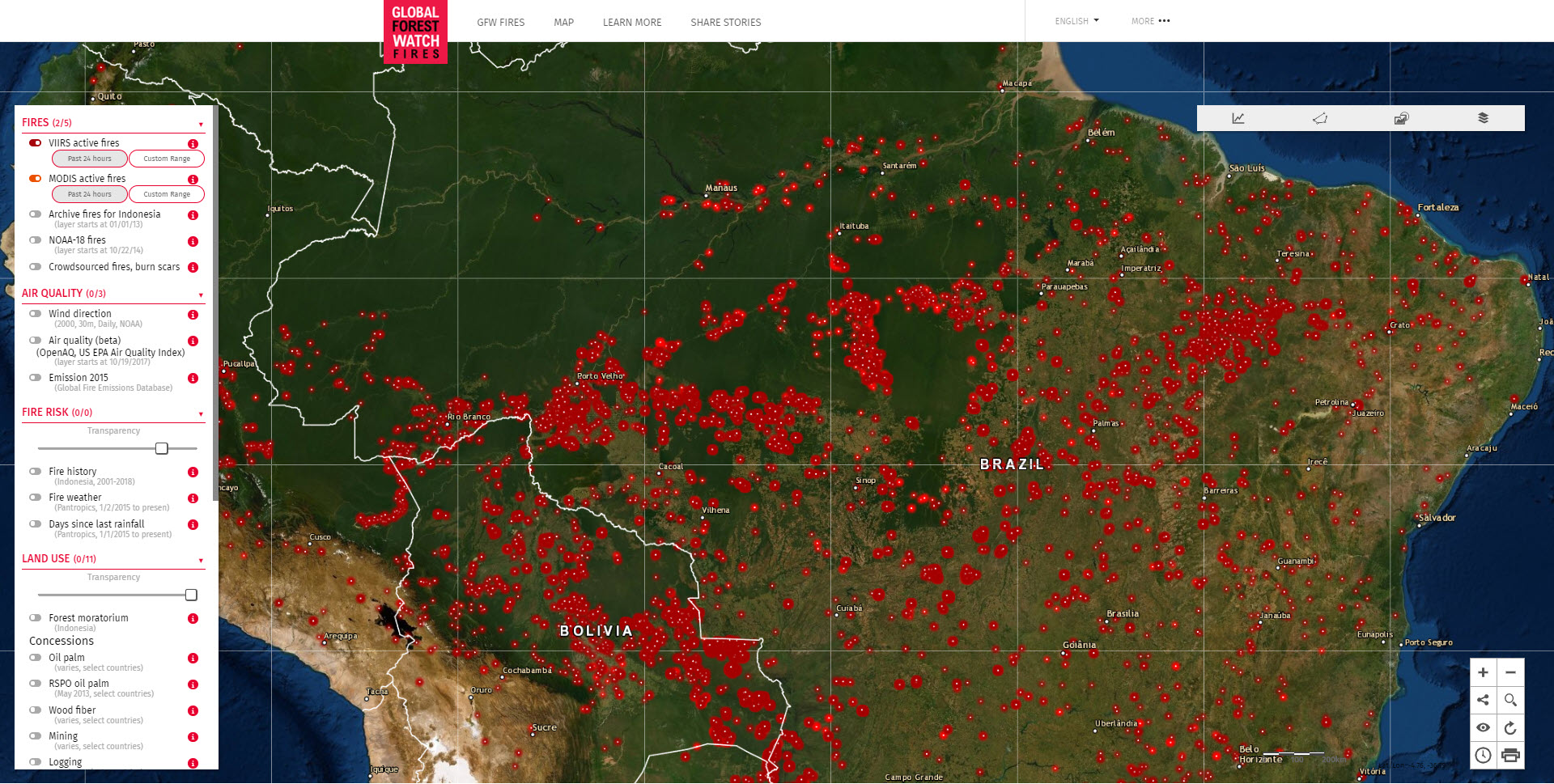
Global Forest Watch Fires: New Fire Monitoring Capabilities
August 23, 2019
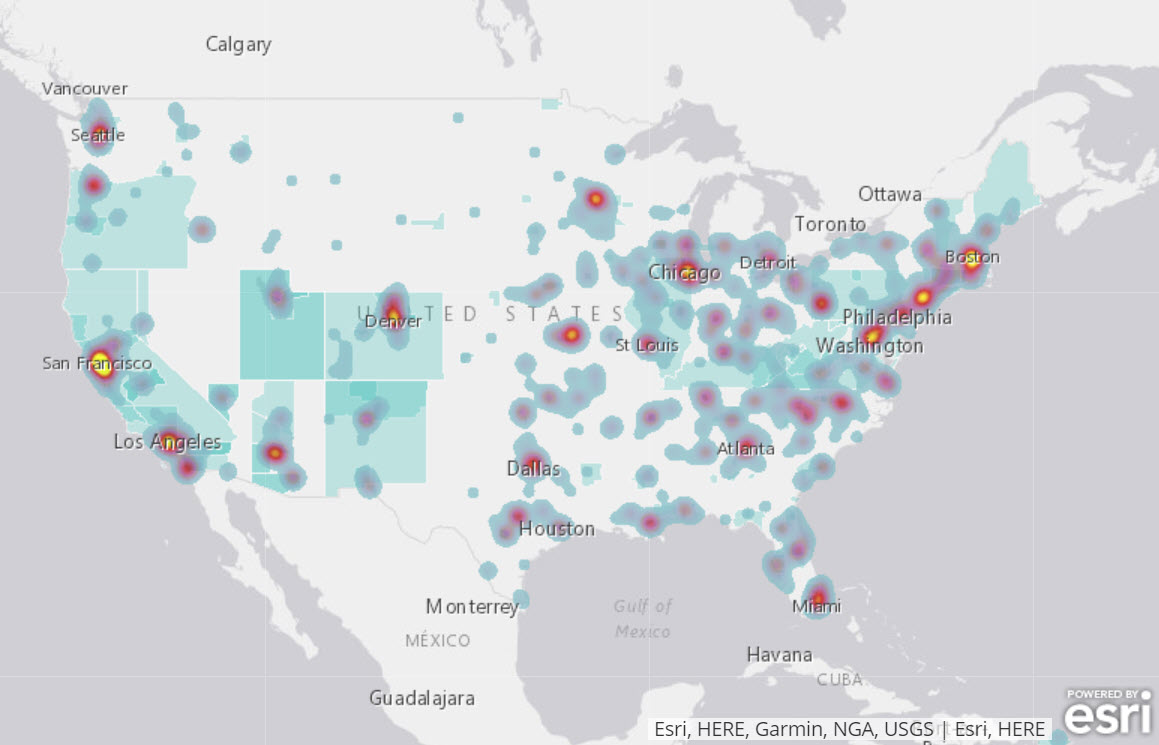
Identifying Connectivity Across US Communities
December 14, 2018
Danger in the Air: UNICEF
December 6, 2017
Thirsting for a Future: UNICEF
March 22, 2017
Measuring Conservation with Biodiversity Dashboard
January 7, 2017
1
2
Next »
Back To Stories & Blog Posts
About
About Us
Careers
Events
GIS for Good
Contact Us
Services
Web Application Development
Mobile Application Development
Managed Services
Software & Data Solutions
GIS Consulting
UX | UI Design
Capabilities
Stories
Resources
Press
Webinars
Newsletters
Branding & Styling
Partnerships
Esri ArcGIS Solutions
REGRID Parcel Data
Planet Labs Imagery
Microsoft Solutions
Scroll to Top