Skip to content
About
About Us
Careers
Events
GIS for Good
Contact Us
Services
Web Application Development
Mobile Application Development
Managed Services
Software & Data Solutions
GIS Consulting
UX | UI Design
Capabilities
Stories
Resources
Press
Webinars
Newsletters
Branding & Styling
Partnerships
Esri ArcGIS Solutions
REGRID Parcel Data
Planet Labs Imagery
Microsoft Solutions
Menu
Menu
Archive
conservation
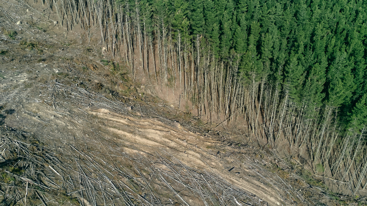
The 2026 LEARN Tool Update Expands Forest Analysis and Reveals New Insights on Harvest Emissions
May 7, 2026
Blue Raster: We ❤️ New York
November 18, 2025
World Forest ID’s Evaluation Platform: Strengthening Supply Chain Transparency with Blue Raster
July 3, 2025
Analyzing The Impact of Sackett v. EPA on Federal Wetlands Protection
March 28, 2025
Empowering Global Conservation with the Jane Goodall Institute’s Tapestry of Hope
March 4, 2025
The LEARN Tool: Everything You Need to Know About its Exciting 2025 Updates
January 29, 2025
Accountability Framework Initiative and Compliance with GFW Pro
August 14, 2024
Above the Waters: A Cinematic Journey Through the Delaware River Watershed
January 30, 2024
Empowering Freshwater Communities and Indigenous People through Immersive StoryMaps
June 19, 2023
Building Out the ASEAN Biodiversity Dashboard: An Accessible, Hands-On Approach to Conservation Education
December 12, 2022
1
2
3
…
6
Next »
Back To Stories & Blog Posts
About
About Us
Careers
Events
GIS for Good
Contact Us
Services
Web Application Development
Mobile Application Development
Managed Services
Software & Data Solutions
GIS Consulting
UX | UI Design
Capabilities
Stories
Resources
Press
Webinars
Newsletters
Branding & Styling
Partnerships
Esri ArcGIS Solutions
REGRID Parcel Data
Planet Labs Imagery
Microsoft Solutions
Scroll to Top