Skip to content
About
About Us
Careers
Events
GIS for Good
Contact Us
Services
Web Application Development
Mobile Application Development
Managed Services
Software & Data Solutions
GIS Consulting
UX | UI Design
Capabilities
Stories
Resources
Press
Webinars
Newsletters
Branding & Styling
Partnerships
Esri ArcGIS Solutions
REGRID Parcel Data
Planet Labs Imagery
Microsoft Solutions
Menu
Menu
Archive
education
Bringing Water Data to Life: Enhancing National Geographic’s World Water Map
August 27, 2025
Plano ISD Find My School App: A New Tool for Easy School Enrollment
June 2, 2025
OC Works: Redefining Career Pathways in Orange County
January 10, 2025
Above the Waters: A Cinematic Journey Through the Delaware River Watershed
January 30, 2024
Make Way for Whales (And Environmental Hope)
July 20, 2021
Following the Student Journey: Education to the Workforce
April 16, 2019
Identifying Connectivity Across US Communities
December 14, 2018
Understanding our Students with MapED
November 29, 2018
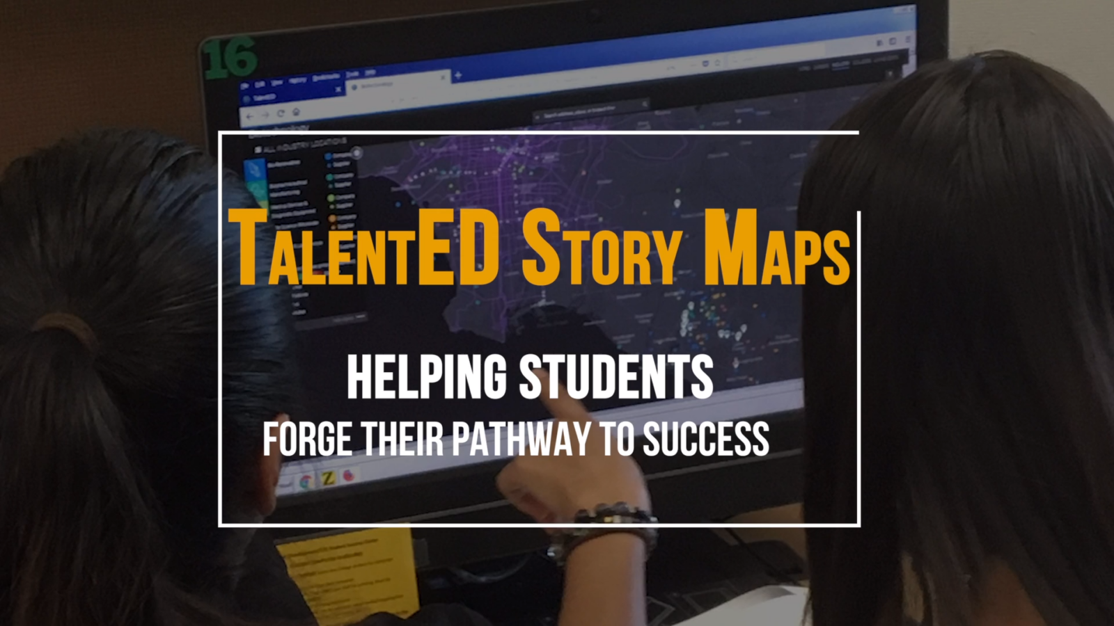
Workforce Development Through Story Maps
September 12, 2018
Maret School: Exploring Inequality through GIS
July 27, 2018
1
2
3
4
Next »
Back To Stories & Blog Posts
About
About Us
Careers
Events
GIS for Good
Contact Us
Services
Web Application Development
Mobile Application Development
Managed Services
Software & Data Solutions
GIS Consulting
UX | UI Design
Capabilities
Stories
Resources
Press
Webinars
Newsletters
Branding & Styling
Partnerships
Esri ArcGIS Solutions
REGRID Parcel Data
Planet Labs Imagery
Microsoft Solutions
Scroll to Top