Skip to content
About
About Us
Careers
Events
GIS for Good
Contact Us
Services
Web Application Development
Mobile Application Development
Managed Services
Software & Data Solutions
GIS Consulting
UX | UI Design
Capabilities
Stories
Resources
Press
Webinars
Newsletters
Branding & Styling
Partnerships
Esri ArcGIS Solutions
REGRID Parcel Data
Planet Labs Imagery
Microsoft Solutions
Menu
Menu
Archive
Environment
Bringing Water Data to Life: Enhancing National Geographic’s World Water Map
August 27, 2025
Analyzing The Impact of Sackett v. EPA on Federal Wetlands Protection
March 28, 2025
Above the Waters: A Cinematic Journey Through the Delaware River Watershed
January 30, 2024
National Audubon Society’s Bird Migration Explorer
September 15, 2022
National Fish and Wildlife Foundation Carbon Benefits Calculator
August 18, 2022
Promoting Sustainable Forestry Practices with High Resolution Imagery
March 2, 2022
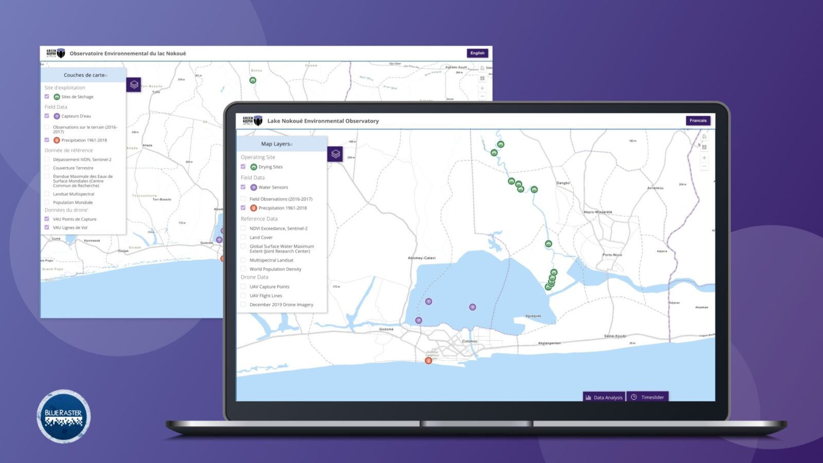
Green Keeper Africa – Utilizing Invasive Plant Species to Mitigate Lake Pollution in Benin
March 2, 2022
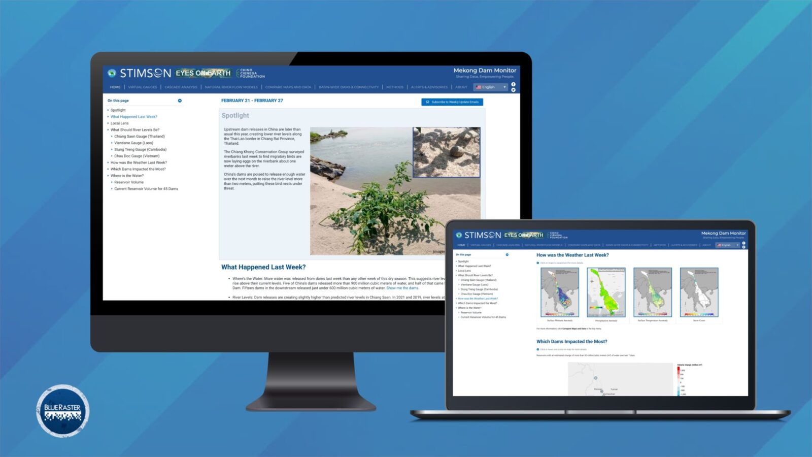
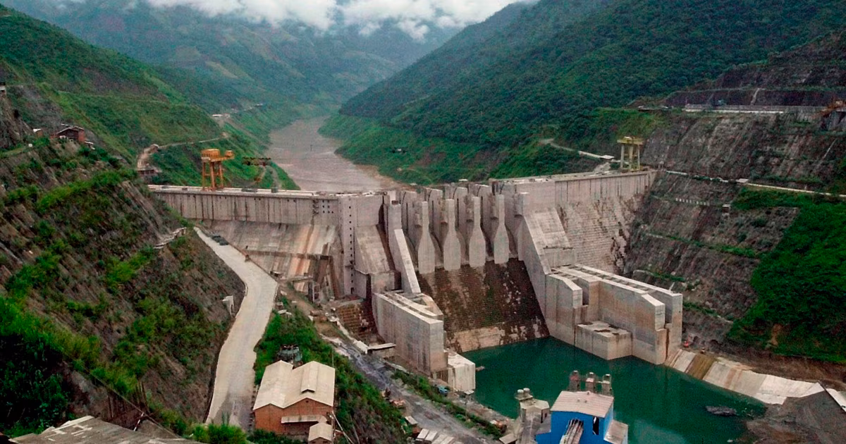
Mekong Monitor – Providing Vital Insight for River-dependent Communities
March 2, 2022
Bringing Transparency to Transboundary Water Policy in the Mekong River Basin
January 22, 2021
Mekong Infrastructure Tracker
May 27, 2020
1
2
Next »
Back To Stories & Blog Posts
About
About Us
Careers
Events
GIS for Good
Contact Us
Services
Web Application Development
Mobile Application Development
Managed Services
Software & Data Solutions
GIS Consulting
UX | UI Design
Capabilities
Stories
Resources
Press
Webinars
Newsletters
Branding & Styling
Partnerships
Esri ArcGIS Solutions
REGRID Parcel Data
Planet Labs Imagery
Microsoft Solutions
Scroll to Top