Skip to content
About
About Us
Careers
Events
GIS for Good
Contact Us
Services
Web Application Development
Mobile Application Development
Managed Services
Software & Data Solutions
GIS Consulting
UX | UI Design
Capabilities
Stories
Resources
Press
Webinars
Newsletters
Branding & Styling
Partnerships
Esri ArcGIS Solutions
REGRID Parcel Data
Planet Labs Imagery
Microsoft Solutions
Menu
Menu
Archive
Federal
Blue Raster Named Esri Federal Small Business Specialty Partner of the Year at FedGIS 2025
February 25, 2025
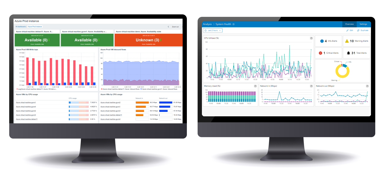
Enhanced Performance with Blue Raster’s Cloud-Managed Services: Integrating Zabbix and ArcGIS Monitor for Proactive Management
September 5, 2024
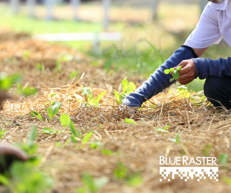
Mapping Food Security: Blue Raster and USAID Zones of Influence
May 23, 2024
FedGIS 2021
March 1, 2021
Look Good, Feel Good: DHS Program Launches Re-Designed Website
November 12, 2020
Esri FedGIS 2020
February 14, 2020
Field Report: Supporting TRACE in Eswatini, Rwanda, and Ethiopia
December 6, 2019
Blue Raster Wins Esri’s StoryMap Challenge
October 30, 2019
Esri FedGIS 2019
February 1, 2019
Come Visit Us! At the Esri FedGIS
March 19, 2018
1
2
3
Next »
Back To Stories & Blog Posts
About
About Us
Careers
Events
GIS for Good
Contact Us
Services
Web Application Development
Mobile Application Development
Managed Services
Software & Data Solutions
GIS Consulting
UX | UI Design
Capabilities
Stories
Resources
Press
Webinars
Newsletters
Branding & Styling
Partnerships
Esri ArcGIS Solutions
REGRID Parcel Data
Planet Labs Imagery
Microsoft Solutions
Scroll to Top