Skip to content
About
About Us
Careers
Events
GIS for Good
Contact Us
Services
Web Application Development
Mobile Application Development
Managed Services
Software & Data Solutions
GIS Consulting
UX | UI Design
Capabilities
Stories
Resources
Press
Webinars
Newsletters
Branding & Styling
Partnerships
Esri ArcGIS Solutions
REGRID Parcel Data
Planet Labs Imagery
Microsoft Solutions
Menu
Menu
Archive
GHG
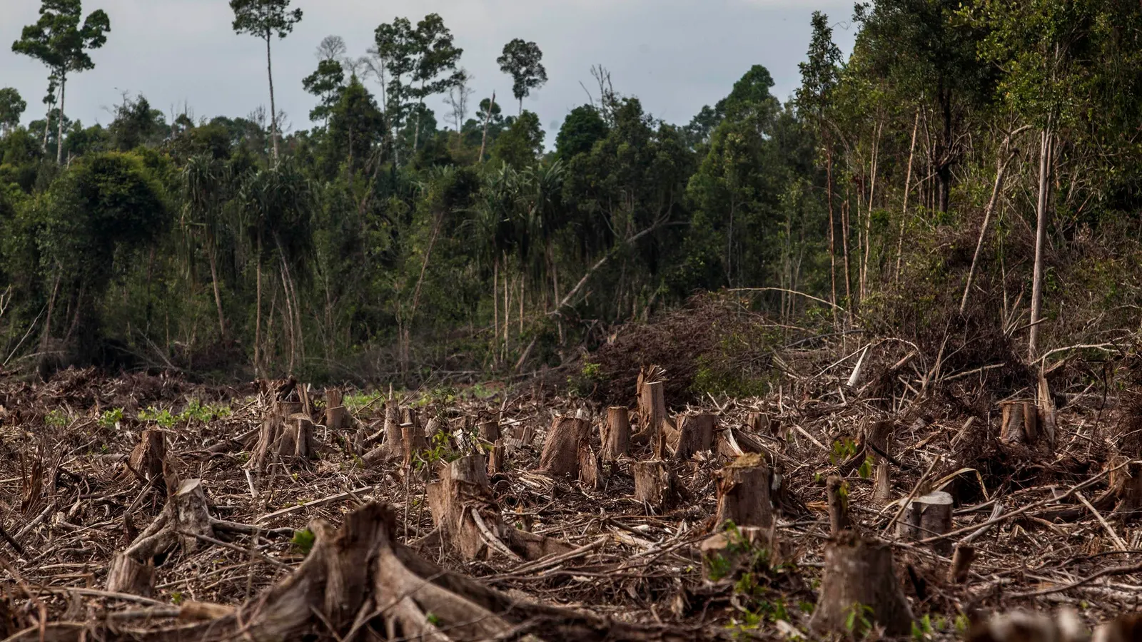
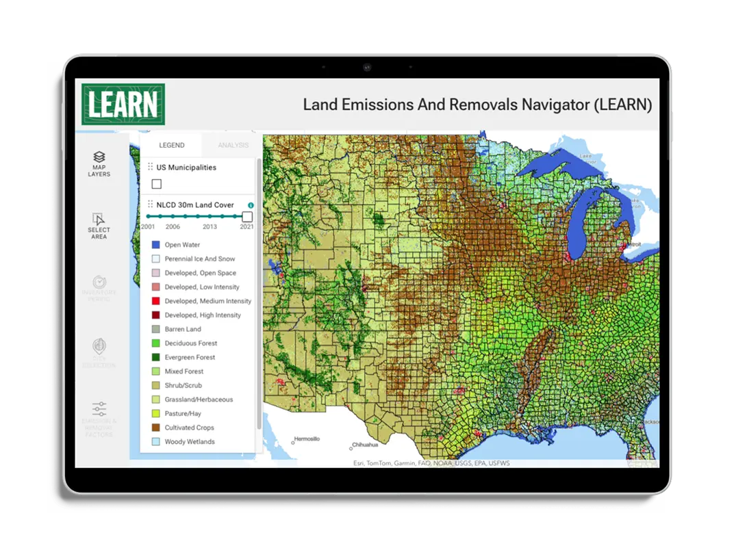
The 2026 LEARN Tool Update Expands Forest Analysis and Reveals New Insights on Harvest Emissions
May 7, 2026
New Features in the LEARN Tool Expand Functionality for Assessing GHG Emissions from Land Use
April 26, 2023
National Fish and Wildlife Foundation Carbon Benefits Calculator
August 18, 2022
Estimating Community GHG Emissions from Land Use Change
January 28, 2021
Back To Stories & Blog Posts
About
About Us
Careers
Events
GIS for Good
Contact Us
Services
Web Application Development
Mobile Application Development
Managed Services
Software & Data Solutions
GIS Consulting
UX | UI Design
Capabilities
Stories
Resources
Press
Webinars
Newsletters
Branding & Styling
Partnerships
Esri ArcGIS Solutions
REGRID Parcel Data
Planet Labs Imagery
Microsoft Solutions
Scroll to Top