Skip to content
About
About Us
Careers
Events
GIS for Good
Contact Us
Services
Web Application Development
Mobile Application Development
Managed Services
Software & Data Solutions
GIS Consulting
UX | UI Design
Capabilities
Stories
Resources
Press
Webinars
Newsletters
Branding & Styling
Partnerships
Esri ArcGIS Solutions
REGRID Parcel Data
Planet Labs Imagery
Microsoft Solutions
Menu
Menu
Archive
Non-Profit
The New NC Equitable Foodshed Map is Amplifying Support for Farmers and Ranchers in North Carolina
May 6, 2025
Enhanced Performance with Blue Raster’s Cloud-Managed Services: Integrating Zabbix and ArcGIS Monitor for Proactive Management
September 5, 2024
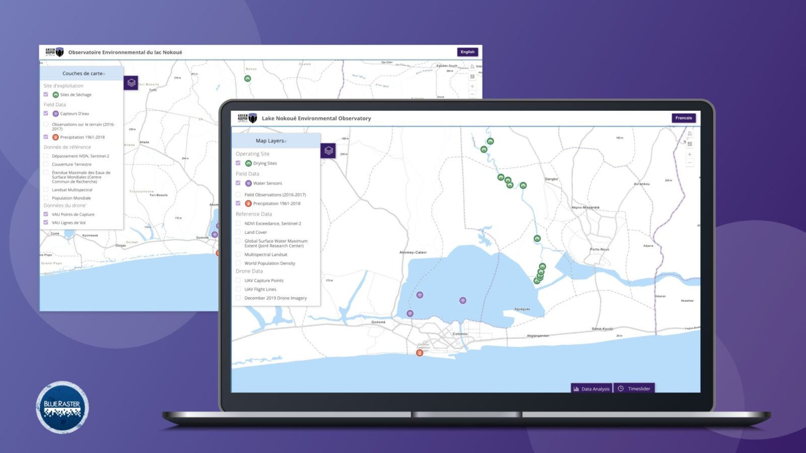
Green Keeper Africa – Utilizing Invasive Plant Species to Mitigate Lake Pollution in Benin
March 2, 2022
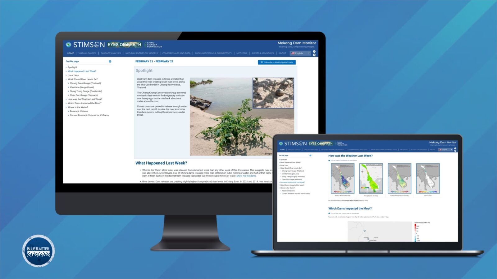
Mekong Monitor – Providing Vital Insight for River-dependent Communities
March 2, 2022
Back To Stories & Blog Posts
About
About Us
Careers
Events
GIS for Good
Contact Us
Services
Web Application Development
Mobile Application Development
Managed Services
Software & Data Solutions
GIS Consulting
UX | UI Design
Capabilities
Stories
Resources
Press
Webinars
Newsletters
Branding & Styling
Partnerships
Esri ArcGIS Solutions
REGRID Parcel Data
Planet Labs Imagery
Microsoft Solutions
Scroll to Top