Skip to content
About
About Us
Careers
Events
GIS for Good
Contact Us
Services
Web Application Development
Mobile Application Development
Managed Services
Software & Data Solutions
GIS Consulting
UX | UI Design
Capabilities
Stories
Resources
Press
Webinars
Newsletters
Branding & Styling
Partnerships
Esri ArcGIS Solutions
REGRID Parcel Data
Planet Labs Imagery
Microsoft Solutions
Menu
Menu
Archive
Nonprofit/NGO
Revealing The Henry Ford Museum from Above: Blue Raster’s Drone Mapping Imagery
April 4, 2025
Connecting Quaker Communities Across the Americas: Blue Raster & FWCC Partner for an ArcGIS Experience Builder App
April 3, 2025
Empowering Global Conservation with the Jane Goodall Institute’s Tapestry of Hope
March 4, 2025
Empowering Freshwater Communities and Indigenous People through Immersive StoryMaps
June 19, 2023
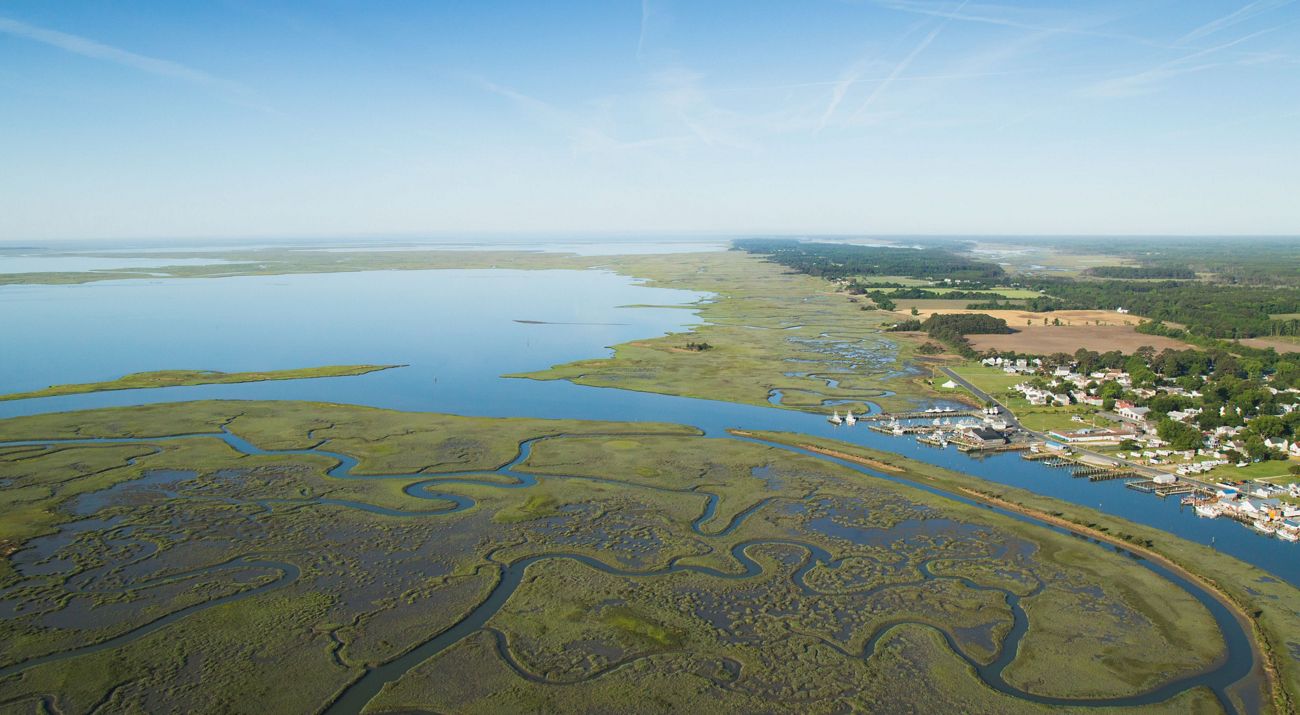
Conducting Research and Data Analysis for The Nature Conservancy’s Coastal Restoration Opportunities Project
May 23, 2023
Bringing Modern GIS Capabilities to Natural Lands
May 16, 2023
Making Coastal Habitat Mapping Possible with Clark Labs
April 25, 2023
Map Creation Made Easy With WRI’s MapBuilder
February 3, 2023
Building Out the ASEAN Biodiversity Dashboard: An Accessible, Hands-On Approach to Conservation Education
December 12, 2022
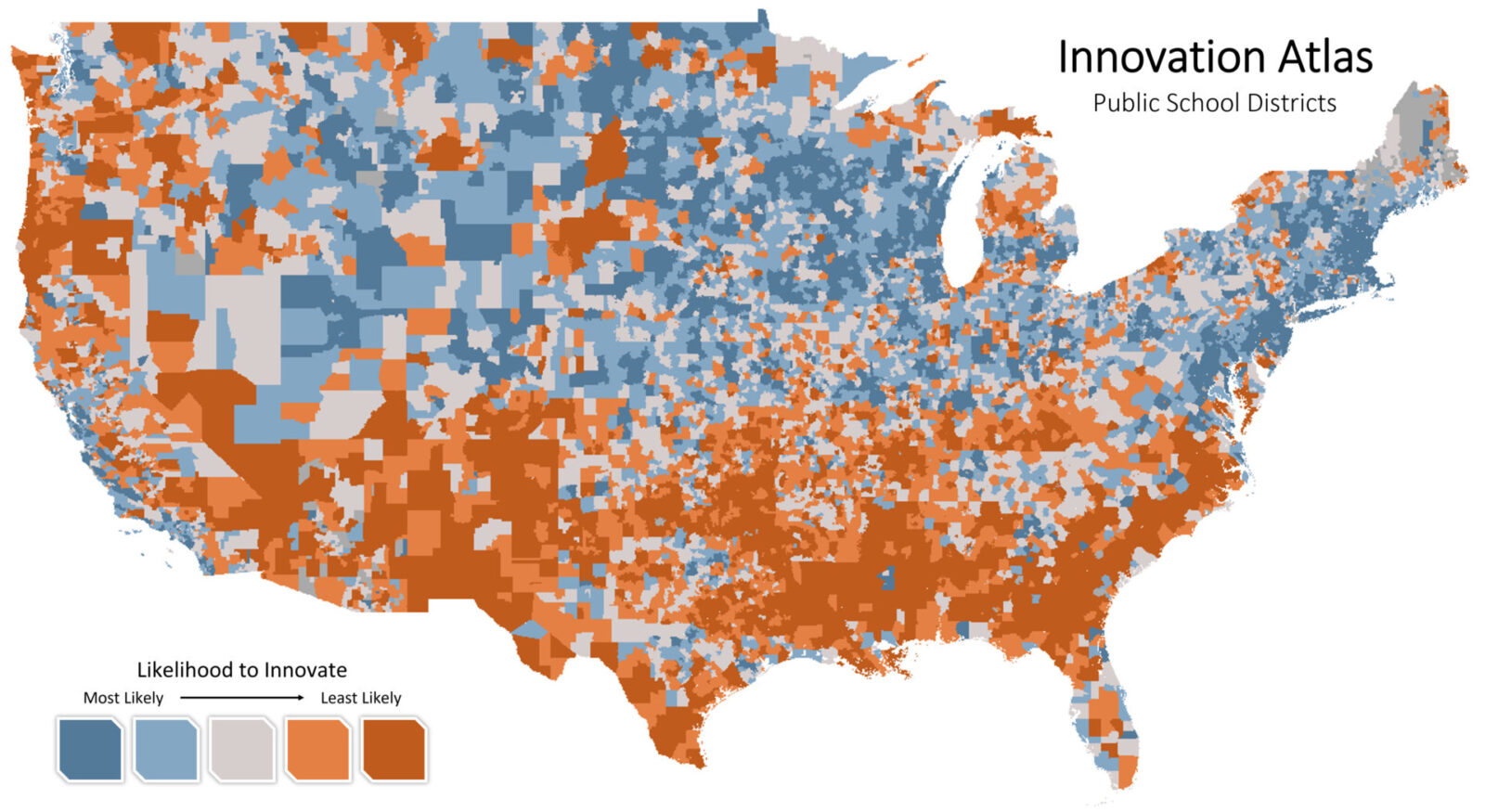
Inspiring Children to Innovate for Success: The Henry Ford and the Innovation Atlas Explorer
June 6, 2022
1
2
Next »
Back To Stories & Blog Posts
About
About Us
Careers
Events
GIS for Good
Contact Us
Services
Web Application Development
Mobile Application Development
Managed Services
Software & Data Solutions
GIS Consulting
UX | UI Design
Capabilities
Stories
Resources
Press
Webinars
Newsletters
Branding & Styling
Partnerships
Esri ArcGIS Solutions
REGRID Parcel Data
Planet Labs Imagery
Microsoft Solutions
Scroll to Top