Skip to content
About
About Us
Careers
Events
GIS for Good
Contact Us
Services
Web Application Development
Mobile Application Development
Managed Services
Software & Data Solutions
GIS Consulting
UX | UI Design
Capabilities
Stories
Resources
Press
Webinars
Newsletters
Branding & Styling
Partnerships
Esri ArcGIS Solutions
REGRID Parcel Data
Planet Labs Imagery
Microsoft Solutions
Menu
Menu
Archive
Operations Dashboard
Modeling a Decision Support System in Response to COVID-19
March 2, 2022
Work Locations Tool for Landscape Crews
October 22, 2021
COVID Response Dashboard
April 17, 2020
GIS Day at Blue Raster
November 25, 2019
The TRACE Initiative: Using real-time data to identify hot spots of current HIV transmission
July 9, 2019
Esri UC 2019: Visit the Blue Raster Team
June 24, 2019
Forest Products Without Compromise
June 7, 2019
Integrating Field GIS at Green-Wood Cemetery
August 30, 2017
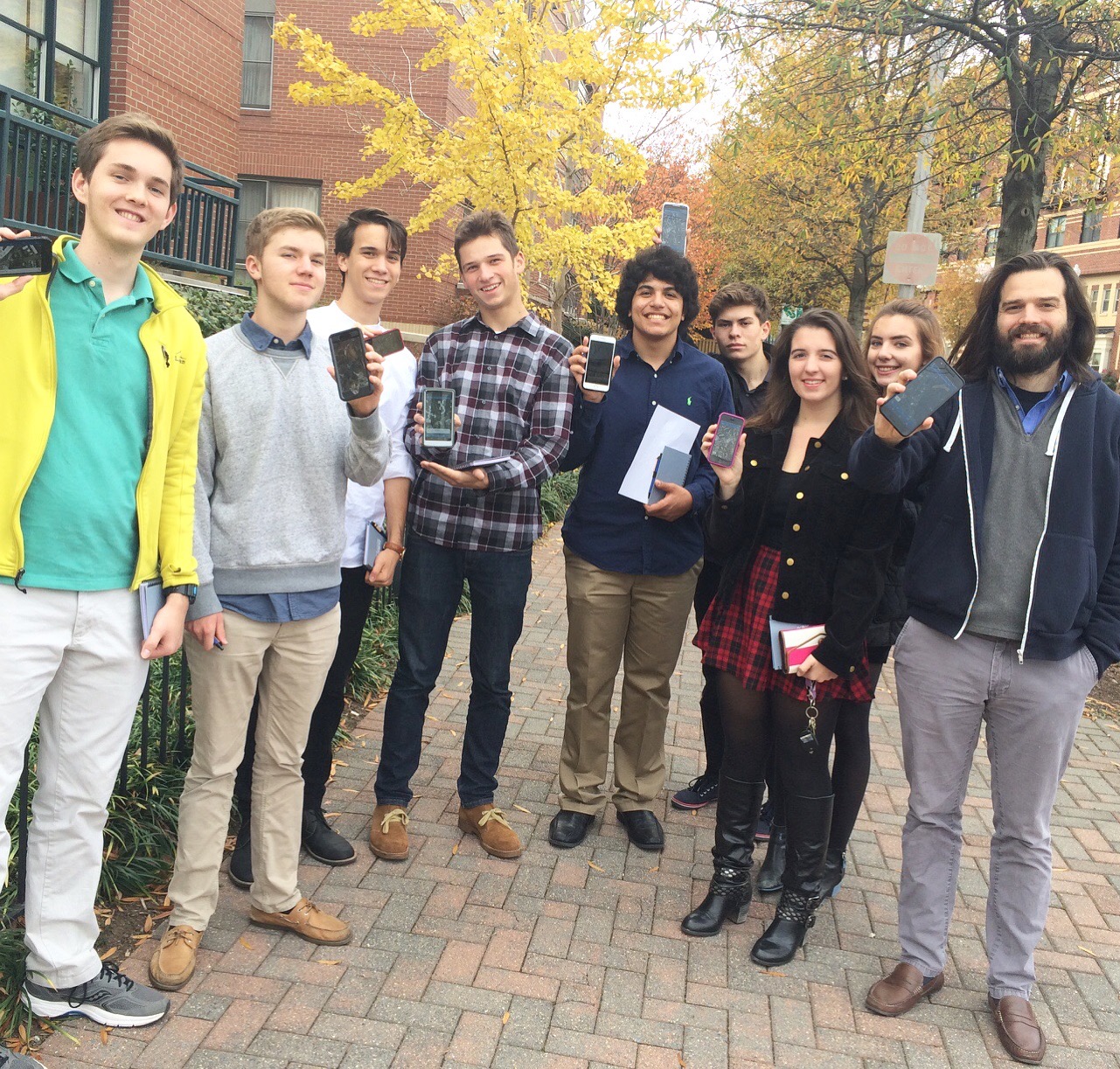
Local Students Celebrate GIS Day at Blue Raster
November 18, 2016
Back To Stories & Blog Posts
About
About Us
Careers
Events
GIS for Good
Contact Us
Services
Web Application Development
Mobile Application Development
Managed Services
Software & Data Solutions
GIS Consulting
UX | UI Design
Capabilities
Stories
Resources
Press
Webinars
Newsletters
Branding & Styling
Partnerships
Esri ArcGIS Solutions
REGRID Parcel Data
Planet Labs Imagery
Microsoft Solutions
Scroll to Top