Skip to content
About
About Us
Careers
Events
GIS for Good
Contact Us
Services
Web Application Development
Mobile Application Development
Managed Services
Software & Data Solutions
GIS Consulting
UX | UI Design
Capabilities
Stories
Resources
Press
Webinars
Newsletters
Branding & Styling
Partnerships
Esri ArcGIS Solutions
REGRID Parcel Data
Planet Labs Imagery
Microsoft Solutions
Menu
Menu
Archive
U.S. Department of Education
Understanding our Students with MapED
November 29, 2018
Education Data Leaves the Classroom with EDGE Geodata
June 27, 2018
Blue Raster at the White House AAPI Data Challenge
October 6, 2016
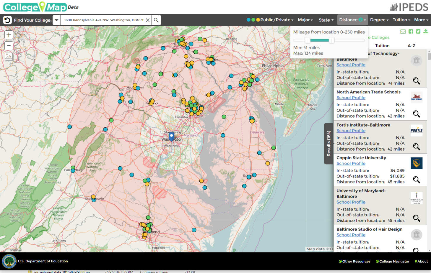
Finding the Right School with The College Map
September 30, 2016
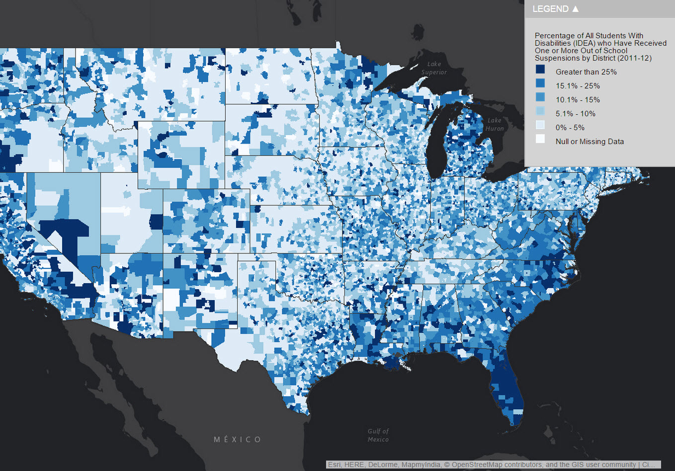
The Hidden Cost of Suspension
July 22, 2015
Department of Education Open Data
March 20, 2015
Mapping Education and Demographic Trends with MapED
September 30, 2014
ED Moves ArcGIS Servers to Amazon’s GovCloud
September 15, 2014
National School Boundaries – Attendance Area Maps
December 11, 2013
Enhancing Press Releases with Interactive Story Maps
February 13, 2013
1
2
Next »
Back To Stories & Blog Posts
About
About Us
Careers
Events
GIS for Good
Contact Us
Services
Web Application Development
Mobile Application Development
Managed Services
Software & Data Solutions
GIS Consulting
UX | UI Design
Capabilities
Stories
Resources
Press
Webinars
Newsletters
Branding & Styling
Partnerships
Esri ArcGIS Solutions
REGRID Parcel Data
Planet Labs Imagery
Microsoft Solutions
Scroll to Top