Skip to content
About
About Us
Careers
Events
GIS for Good
Contact Us
Services
Web Application Development
Mobile Application Development
Managed Services
Software & Data Solutions
GIS Consulting
UX | UI Design
Capabilities
Stories
Resources
Press
Webinars
Newsletters
Branding & Styling
Partnerships
Esri ArcGIS Solutions
REGRID Parcel Data
Planet Labs Imagery
Microsoft Solutions
Menu
Menu
Archive
Water Risk
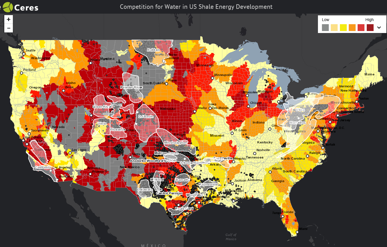
Ceres Digs Deeper into Water Impacts of Hydraulic Fracturing
October 6, 2016
Staying Ahead of the Global Water Supply Shortage
August 31, 2016
New Mobile-Friendly Water Risk Atlas
April 10, 2015
India Water Tool Offers Strategies for Water Risk
February 27, 2015
Ceres Maps Analyze Drought and Ground Water Depletion in Shale Development Areas
February 14, 2014
WRI: New Agricultural Exposure to Water Stress map
November 8, 2013
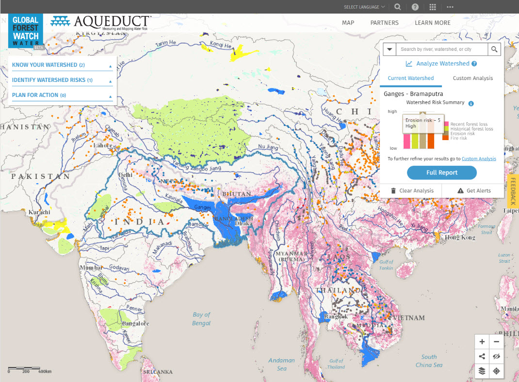
Aqueduct – Mapping Water Risk Around the Globe
January 30, 2013
Back To Stories & Blog Posts
About
About Us
Careers
Events
GIS for Good
Contact Us
Services
Web Application Development
Mobile Application Development
Managed Services
Software & Data Solutions
GIS Consulting
UX | UI Design
Capabilities
Stories
Resources
Press
Webinars
Newsletters
Branding & Styling
Partnerships
Esri ArcGIS Solutions
REGRID Parcel Data
Planet Labs Imagery
Microsoft Solutions
Scroll to Top