Skip to content
About
About Us
Careers
Events
GIS for Good
Contact Us
Services
Web Application Development
Mobile Application Development
Managed Services
Software & Data Solutions
GIS Consulting
UX | UI Design
Capabilities
Stories
Resources
Press
Webinars
Newsletters
Branding & Styling
Partnerships
Esri ArcGIS Solutions
REGRID Parcel Data
Planet Labs Imagery
Microsoft Solutions
Menu
Menu
Archive
water
Bringing Water Data to Life: Enhancing National Geographic’s World Water Map
August 27, 2025
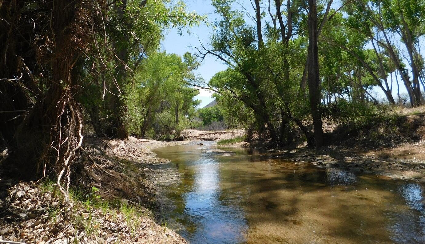
Upper San Pedro WHIP: Revolutionary Watershed Monitoring and Community Engagement Tool
June 4, 2025
Analyzing The Impact of Sackett v. EPA on Federal Wetlands Protection
March 28, 2025
World Water Day: New ways to see WASH data on the Spatial Data Repository
March 22, 2024
Making Coastal Habitat Mapping Possible with Clark Labs
April 25, 2023
Answering the Call for More Sustainable Groundwater Management with GRAT
November 8, 2022
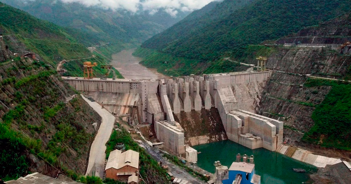
Track Industrial Spaces in the Mekong Region with the Updated Mekong Infrastructure Tracker
September 29, 2020
Mekong Infrastructure Tracker
May 27, 2020
India Water Tool Helps Turn Water Risks to Water Solutions
February 28, 2019
Solving the Water Balance Equation for California
October 25, 2017
1
2
Next »
Back To Stories & Blog Posts
About
About Us
Careers
Events
GIS for Good
Contact Us
Services
Web Application Development
Mobile Application Development
Managed Services
Software & Data Solutions
GIS Consulting
UX | UI Design
Capabilities
Stories
Resources
Press
Webinars
Newsletters
Branding & Styling
Partnerships
Esri ArcGIS Solutions
REGRID Parcel Data
Planet Labs Imagery
Microsoft Solutions
Scroll to Top