Skip to content
About
About Us
Careers
Events
GIS for Good
Contact Us
Services
Web Application Development
Mobile Application Development
Managed Services
Software & Data Solutions
GIS Consulting
UX | UI Design
Capabilities
Stories
Resources
Press
Webinars
Newsletters
Branding & Styling
Partnerships
Esri ArcGIS Solutions
REGRID Parcel Data
Planet Labs Imagery
Microsoft Solutions
Menu
Menu
Archive
Web Application
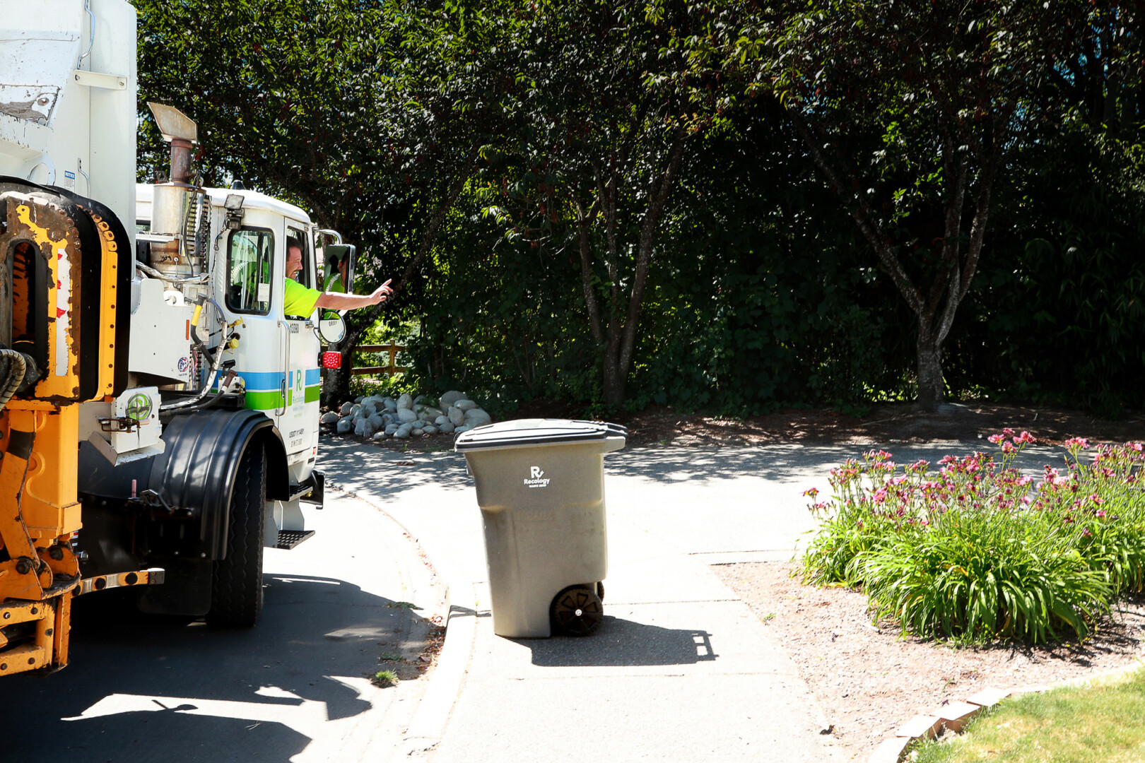
Modernizing Solid Waste Billing for San Mateo County
July 22, 2026
World Forest ID’s Evaluation Platform: Strengthening Supply Chain Transparency with Blue Raster
July 3, 2025
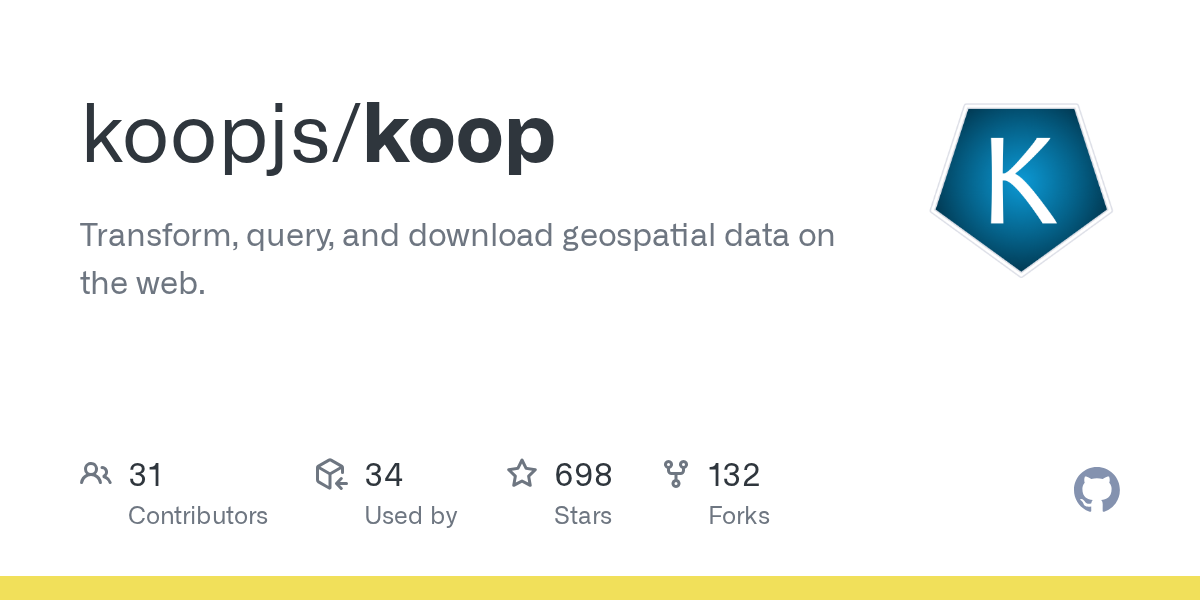
Exploring KoopJS: Simplifying and Enhancing Geospatial Data Integration
January 31, 2024
New Era for Plant Mapping at New York Botanical Garden with PlantTracker
March 4, 2022
Mapping America’s Wine Growing Regions
September 27, 2019
Back To Stories & Blog Posts
About
About Us
Careers
Events
GIS for Good
Contact Us
Services
Web Application Development
Mobile Application Development
Managed Services
Software & Data Solutions
GIS Consulting
UX | UI Design
Capabilities
Stories
Resources
Press
Webinars
Newsletters
Branding & Styling
Partnerships
Esri ArcGIS Solutions
REGRID Parcel Data
Planet Labs Imagery
Microsoft Solutions
Scroll to Top