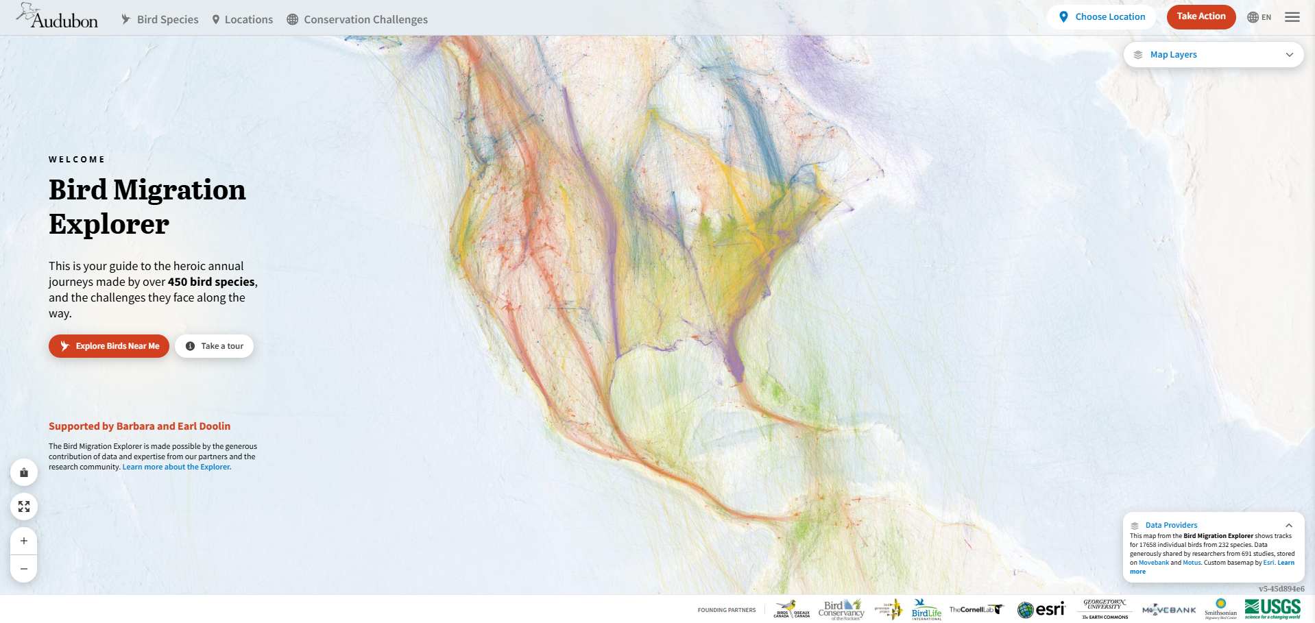
The National Audubon Society's Bird Migration Explorer is an interactive mapping application that shows migratory routes, conservation challenges, and over 450 species of migratory birds across the western hemisphere. Blue Raster partnered with the National Audubon Society to develop the application, including the overall geospatial infrastructure. Since the application's launch in 2022, Blue Raster has worked with Audubon to annually update and enhance the datasets that drive the application.

The data behind this application includes over 50 million records that build hundreds of layers in the final application, visualizing:
- Animated migration paths from tagged individual birds
- Species Distributions
- Conservation Challenges affecting species
- Species Range and Subrange Maps
We just completed our fourth annual update and are excited to share what's been introduced over the years, along with a look at the process that keeps this application running behind the scenes.
What's new in 2026
Since 2022, each annual update has expanded what the Bird Migration Explorer can show and teach. Highlights from what we've added to the application include:
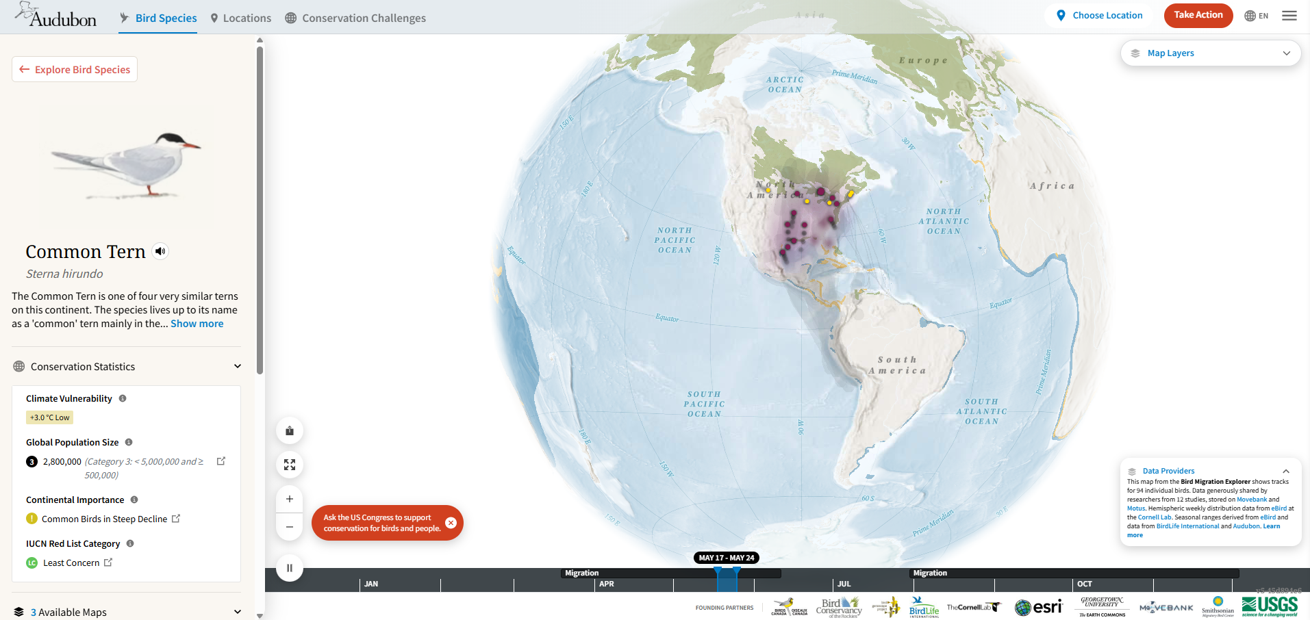
New Tracked Species
New species have been added to the application over the updates, expanding the number of migratory journeys users can explore
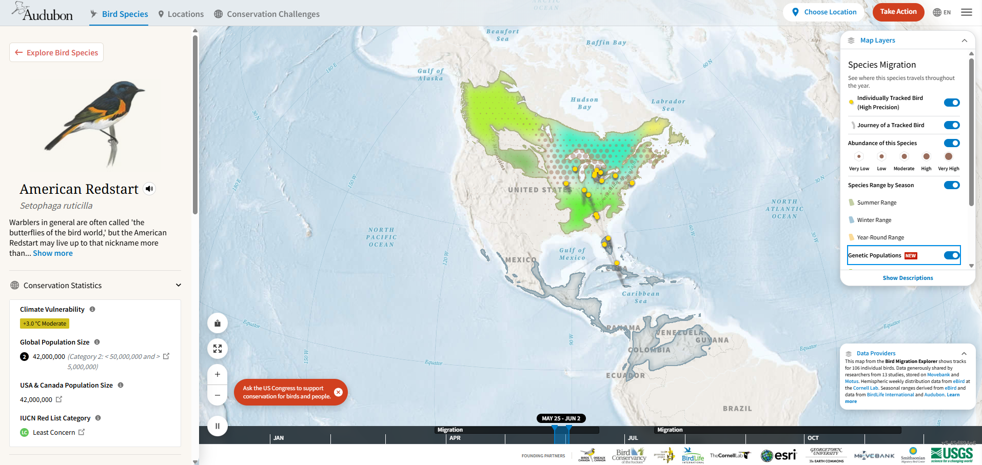
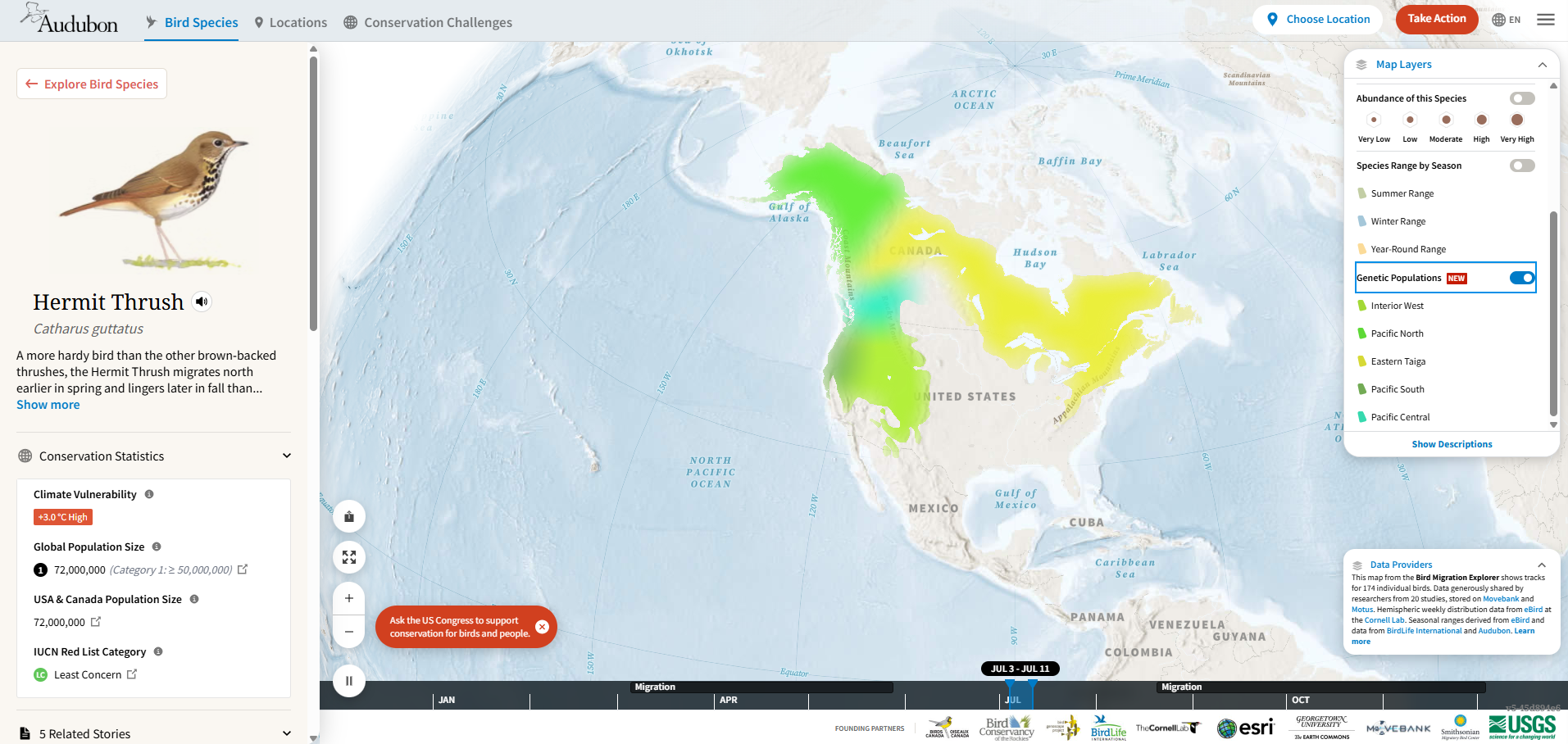
Subranges
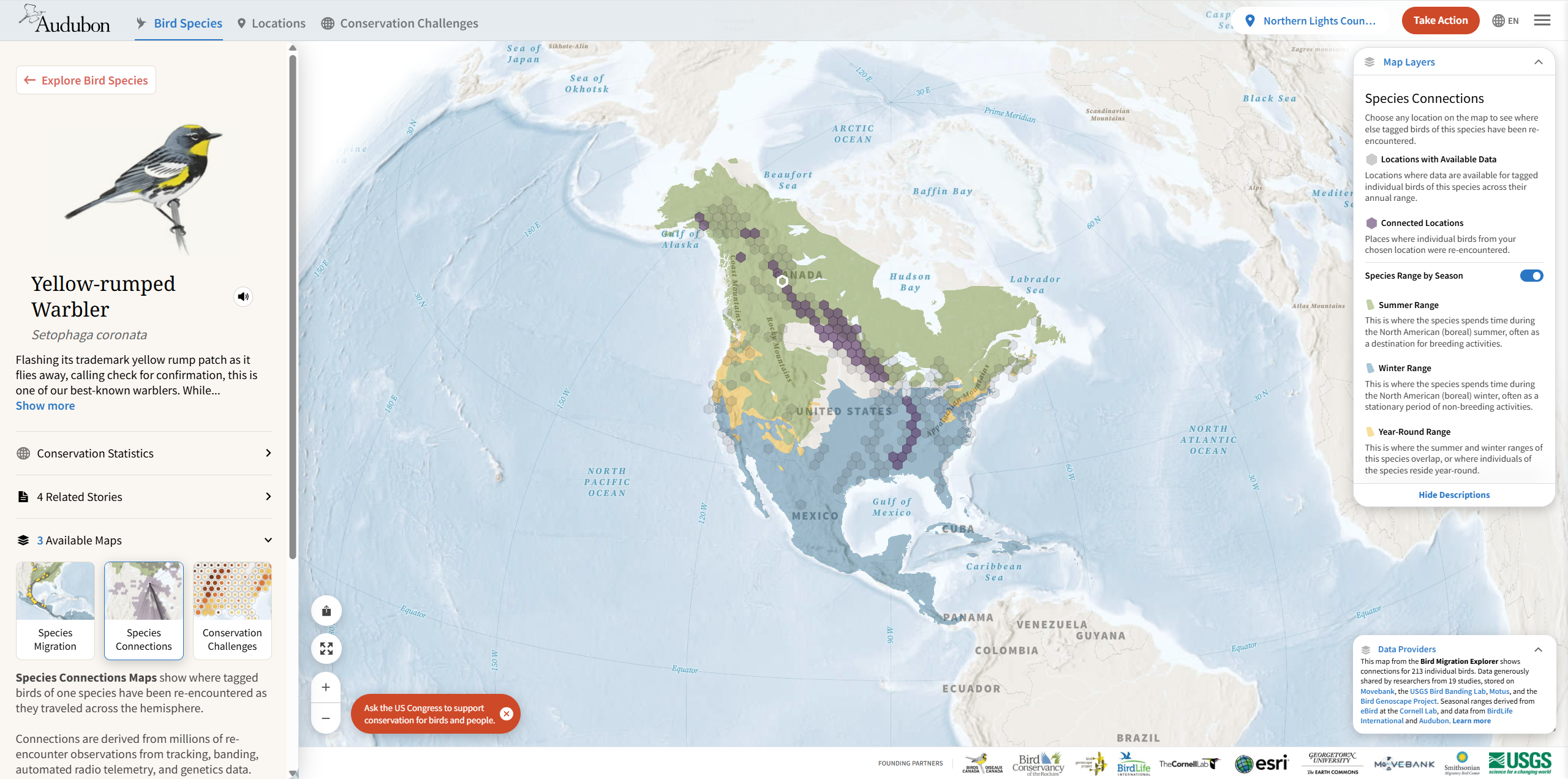
We’ve incorporated subrange data now for fifteen species, showing the distinct genetic groups found across a species’ overall range. This gives users a more precise picture of where and how populations move.
New Tracking Technology Types
We’ve added support for additional tracking technology types with differentiation between types for connections and migration tracks. We have also updated the outlier logic to specify more closely what counts as an observation within these technology types.
Ongoing Citation Management
We continue to update species and layer citations to ensure proper credit is given to the researchers and institutions behind the underlying data.
How the Annual Data Update Works
Behind every update is a repeatable, well-tested process. Each year, our team runs a series of Python scripts and SQL queries that pull in new records, reprocess datasets, and rebuild the hundreds of layers that power the application.
All data processing happens locally, where our team can validate and QA the results before anything goes live. Once the data is ready, we publish by overwriting the existing services in ArcGIS Online, meaning the application experiences zero downtime during the update. Because changes go live immediately in the production application, this step relies on reliable, well-tested scripts, thorough QA, and the ability to respond quickly if anything unexpected comes up.
Interact With The Bird Migration Explorer in Real Time
Click on the App below
Looking Ahead
Four years in, this process has become a well-oiled part of how Blue Raster supports the Bird Migration Explorer, allowing Audubon to keep the application current and accurate for the millions of birders, researchers, and conservationists who rely on it, without ever taking it offline.
If your organization is looking to build or maintain a geospatial application that scales with your data, contact us today.