Skip to content
About
About Us
Careers
Events
GIS for Good
Contact Us
Services
Web Application Development
Mobile Application Development
Managed Services
Software & Data Solutions
GIS Consulting
UX | UI Design
Capabilities
Stories
Resources
Press
Webinars
Newsletters
Branding & Styling
Partnerships
Esri ArcGIS Solutions
REGRID Parcel Data
Planet Labs Imagery
Microsoft Solutions
Menu
Menu
Archive
Design
Are Your Maps and GIS Apps Ready for the ADA Title II WCAG 2.1 Mandate?
March 25, 2026
ArcGIS Hub for Community Health: Blue Raster Supports the Orange County Regional Workforce Summit
March 23, 2026
Flora Finder: Blue Raster Helps Holden Forests & Gardens Launch First Public Collections Viewer
July 10, 2025
Utilizing Smart GIS Solutions to Drive California Recycling Mandates
April 7, 2025
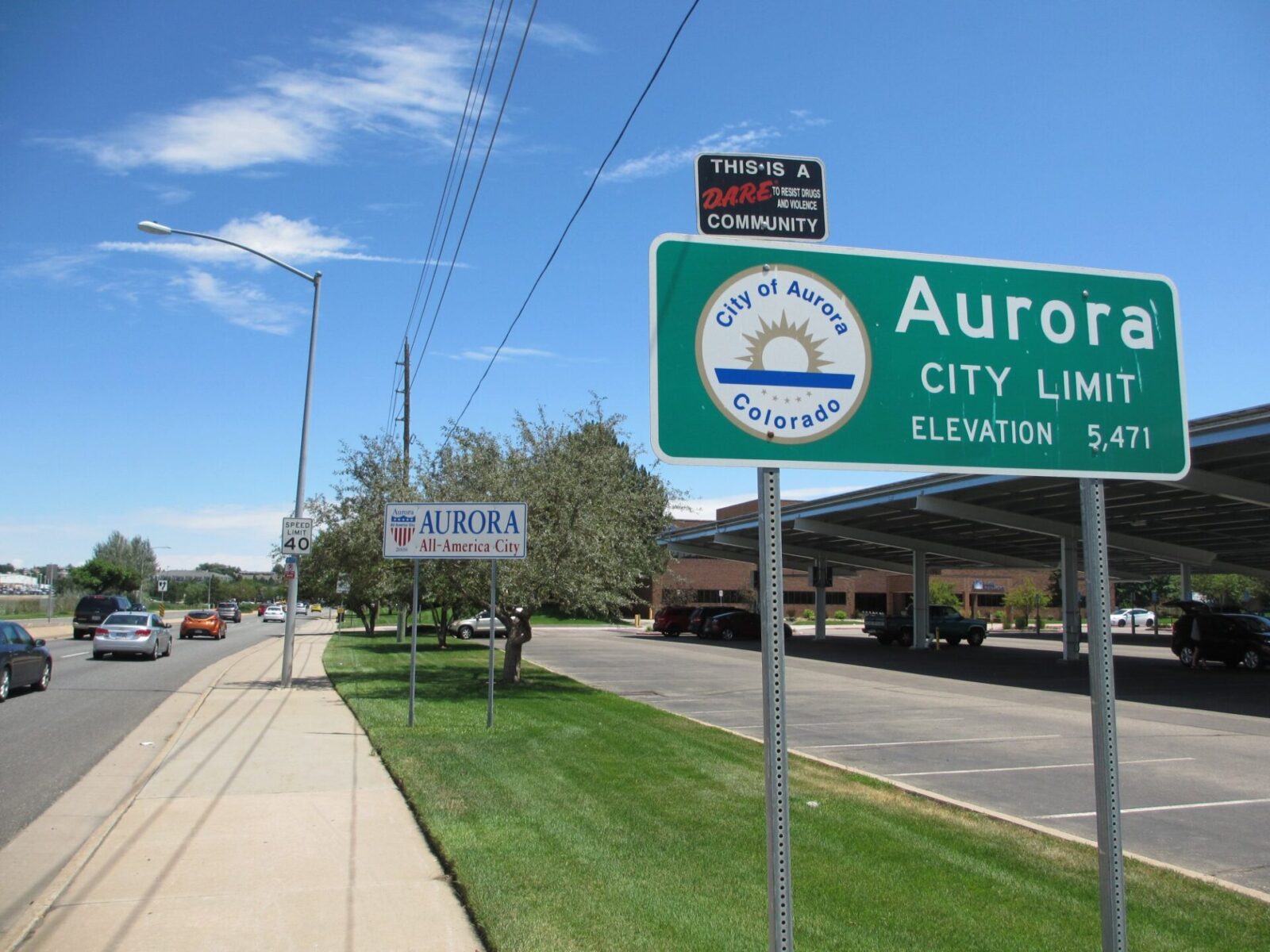
Enhancing Accessibility in City of Aurora Water Esri Data for HB21-1110 GIS Compliance
August 27, 2024
Expanding Nutritious Food Access with the Healthy Corners Mobile App
November 14, 2023
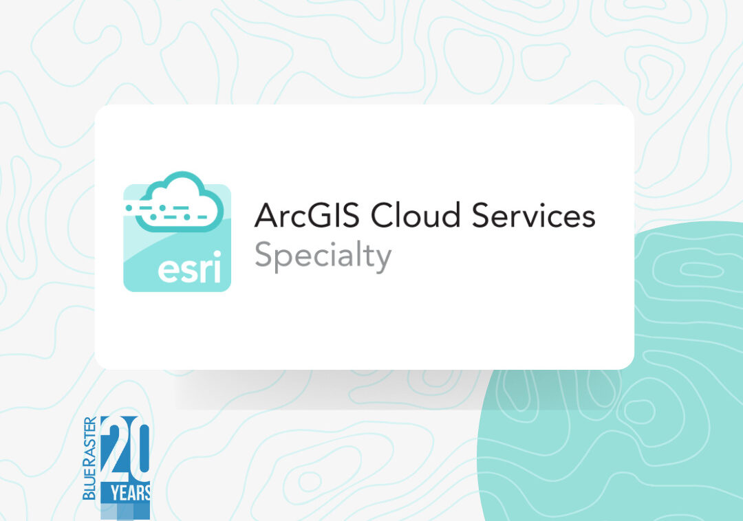
Esri ArcGIS Cloud Services Specialty: Elevating Our Clients’ GIS Capabilities to the Sky
August 26, 2022
New Era for Plant Mapping at New York Botanical Garden with PlantTracker
March 4, 2022
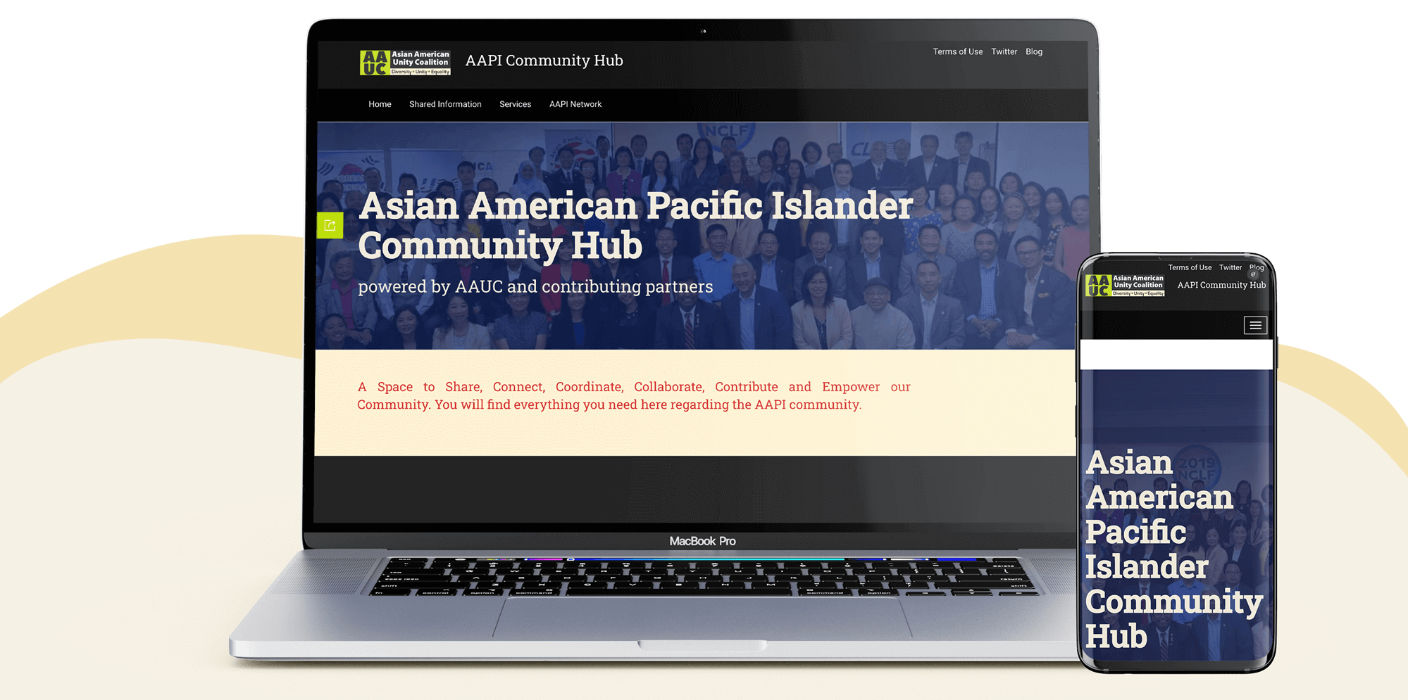
Asian American Pacific Islander Community Hub
November 17, 2021
Tracking Trends of Innovation and Entrepreneurship with The Draper Innovation Index
May 20, 2021
1
2
Next »
Back To Stories & Blog Posts
About
About Us
Careers
Events
GIS for Good
Contact Us
Services
Web Application Development
Mobile Application Development
Managed Services
Software & Data Solutions
GIS Consulting
UX | UI Design
Capabilities
Stories
Resources
Press
Webinars
Newsletters
Branding & Styling
Partnerships
Esri ArcGIS Solutions
REGRID Parcel Data
Planet Labs Imagery
Microsoft Solutions
Scroll to Top