Skip to content
About
About Us
Careers
Events
GIS for Good
Contact Us
Services
Web Application Development
Mobile Application Development
Managed Services
Software & Data Solutions
GIS Consulting
UX | UI Design
Capabilities
Stories
Resources
Press
Webinars
Newsletters
Branding & Styling
Partnerships
Esri ArcGIS Solutions
REGRID Parcel Data
Planet Labs Imagery
Microsoft Solutions
Menu
Menu
Archive
ArcGIS Pro
How Re:Wild Connected ArcGIS and Airtable Into One Seamless Workflow
May 11, 2026
Blue Raster Earns Esri Parcel Management Specialty
February 20, 2026
Modernizing Parcel Mapping Workflows for Moore County, NC
November 20, 2025
Empowering OneEnergy Renewables with a Modern and Managed ArcGIS Enterprise Environment
October 17, 2025
3D Visualization of Tornadic Mesocyclones Using Voxel Rendering
July 2, 2025
Revealing The Henry Ford Museum from Above: Blue Raster’s Drone Mapping Imagery
April 4, 2025
Analyzing The Impact of Sackett v. EPA on Federal Wetlands Protection
March 28, 2025
ArcGIS Pro Training in Action: Unlocking GIS Power with Blue Raster
March 12, 2025
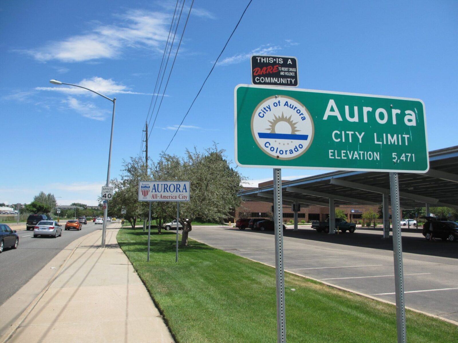
Enhancing Accessibility in City of Aurora Water Esri Data for HB21-1110 GIS Compliance
August 27, 2024
Mapping Food Security: Blue Raster and USAID Zones of Influence
May 23, 2024
1
2
3
Next »
Back To Stories & Blog Posts
About
About Us
Careers
Events
GIS for Good
Contact Us
Services
Web Application Development
Mobile Application Development
Managed Services
Software & Data Solutions
GIS Consulting
UX | UI Design
Capabilities
Stories
Resources
Press
Webinars
Newsletters
Branding & Styling
Partnerships
Esri ArcGIS Solutions
REGRID Parcel Data
Planet Labs Imagery
Microsoft Solutions
Scroll to Top