Skip to content
About
About Us
Careers
Events
GIS for Good
Contact Us
Services
Web Application Development
Mobile Application Development
Managed Services
Software & Data Solutions
GIS Consulting
UX | UI Design
Capabilities
Stories
Resources
Press
Webinars
Newsletters
Branding & Styling
Partnerships
Esri ArcGIS Solutions
REGRID Parcel Data
Planet Labs Imagery
Microsoft Solutions
Menu
Menu
Archive
ArcGIS StoryMaps
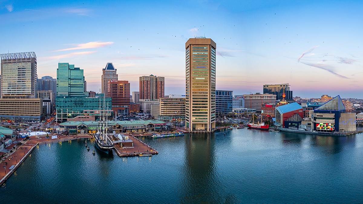
Telling Baltimore’s Living Heritage Through StoryMaps
February 27, 2026
Empowering Freshwater Communities and Indigenous People through Immersive StoryMaps
June 19, 2023
Innovation 2.0: Draper Innovation Index launches new version
October 13, 2021
Make Way for Whales (And Environmental Hope)
July 20, 2021
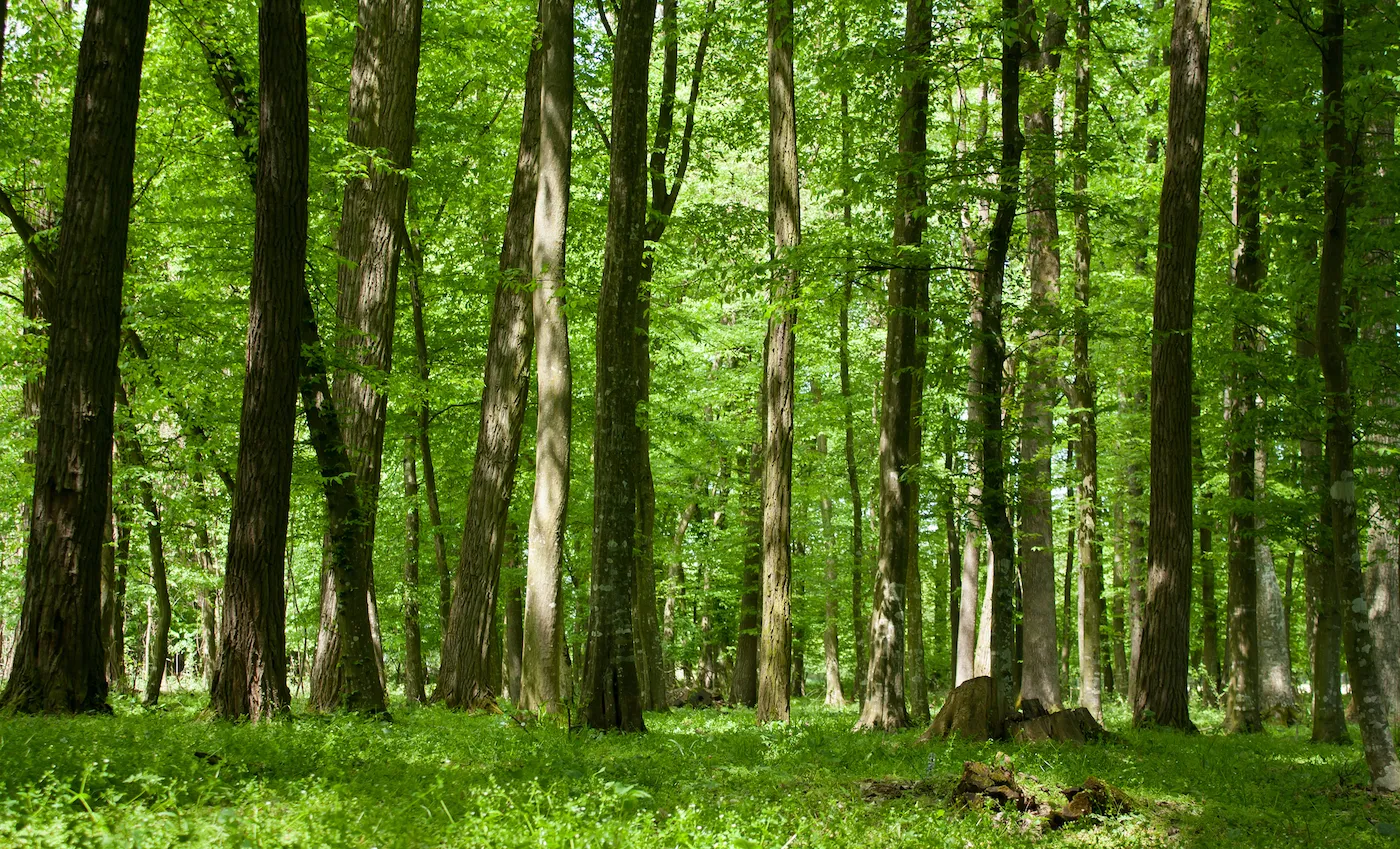
Trillion Trees: An Interactive Look at Forest Regeneration
July 7, 2021
Tracking Trends of Innovation and Entrepreneurship with The Draper Innovation Index
May 20, 2021
Celebrating 60 Years of Discovery with Jane Goodall
June 29, 2020
StoryMaps in the Time of COVID-19: Telling the Story of the Red Cross Response Efforts
May 18, 2020
A Look at the Ohio River: Past, Present, and Future
November 14, 2019
Blue Raster Wins Esri’s StoryMap Challenge
October 30, 2019
1
2
Next »
Back To Stories & Blog Posts
About
About Us
Careers
Events
GIS for Good
Contact Us
Services
Web Application Development
Mobile Application Development
Managed Services
Software & Data Solutions
GIS Consulting
UX | UI Design
Capabilities
Stories
Resources
Press
Webinars
Newsletters
Branding & Styling
Partnerships
Esri ArcGIS Solutions
REGRID Parcel Data
Planet Labs Imagery
Microsoft Solutions
Scroll to Top