Skip to content
About
About Us
Careers
Events
GIS for Good
Contact Us
Services
Web Application Development
Mobile Application Development
Managed Services
Software & Data Solutions
GIS Consulting
UX | UI Design
Capabilities
Stories
Resources
Press
Webinars
Newsletters
Branding & Styling
Partnerships
Esri ArcGIS Solutions
REGRID Parcel Data
Planet Labs Imagery
Microsoft Solutions
Menu
Menu
Archive
Cloud
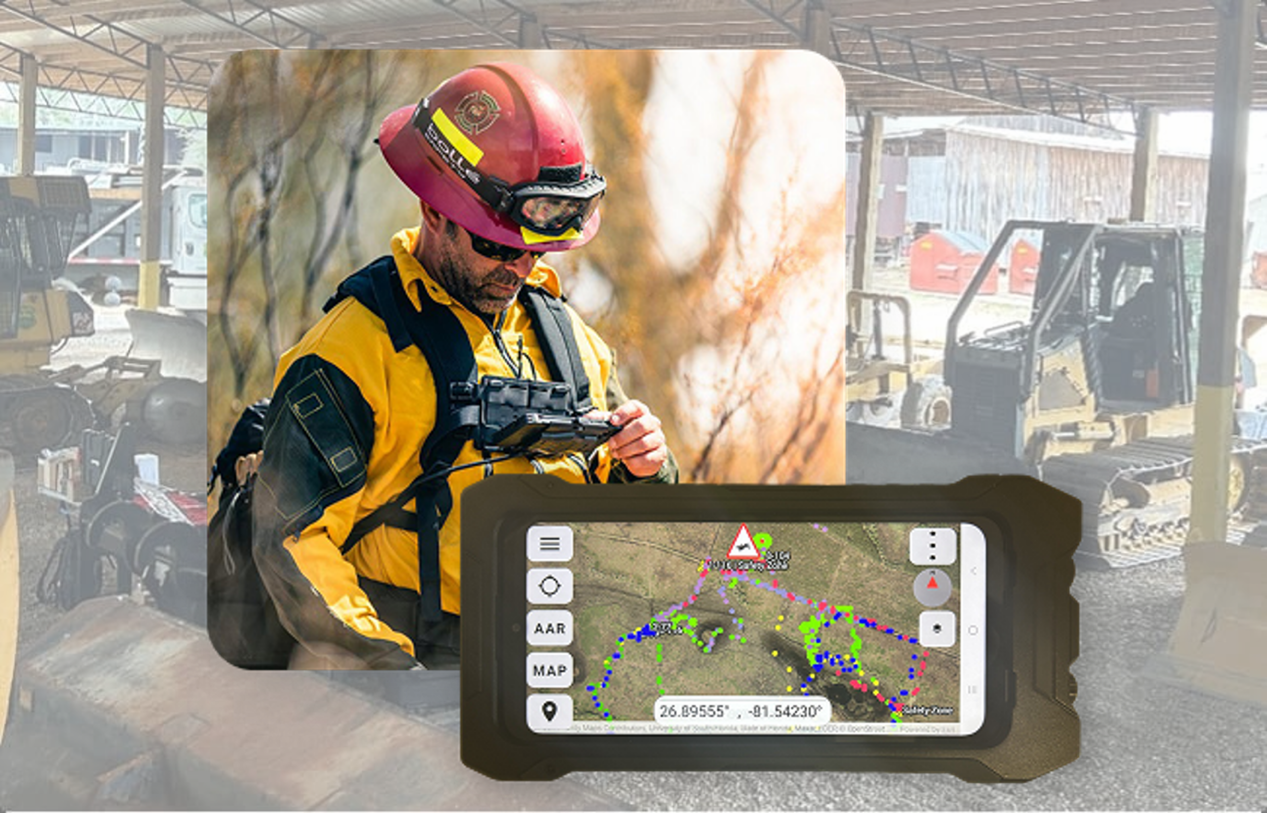
From the Field to the Command Center: Powering Advanced Situational Awareness
March 3, 2026
ArcGIS Enterprise 12.x is Out Now: Planning for Your Upgrade and What to Expect
February 6, 2026
Thinking About Migrating Your ArcGIS Enterprise to the Cloud? Here Are Some Helpful Tips to Help You Make Your Decision
January 30, 2026
ArcGIS Enterprise Security: From Guidance to Practice
January 28, 2026
Advancing Regional Planning Organizations with Strategic GIS and ArcGIS Enterprise Services
October 17, 2025
Empowering OneEnergy Renewables with a Modern and Managed ArcGIS Enterprise Environment
October 17, 2025
World Forest ID’s Evaluation Platform: Strengthening Supply Chain Transparency with Blue Raster
July 3, 2025
What’s New in ArcGIS Enterprise 11.5: Unleashing Power, Performance, and Exciting Possibilities
June 2, 2025
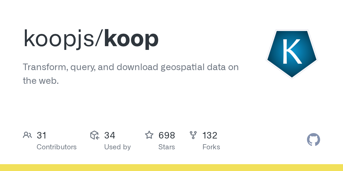
Exploring KoopJS: Simplifying and Enhancing Geospatial Data Integration
January 31, 2024
What Are the Discovery, Execution, and Maintenance Phases of ArcGIS Enterprise Cloud Migration?
July 3, 2023
1
2
Next »
Back To Stories & Blog Posts
About
About Us
Careers
Events
GIS for Good
Contact Us
Services
Web Application Development
Mobile Application Development
Managed Services
Software & Data Solutions
GIS Consulting
UX | UI Design
Capabilities
Stories
Resources
Press
Webinars
Newsletters
Branding & Styling
Partnerships
Esri ArcGIS Solutions
REGRID Parcel Data
Planet Labs Imagery
Microsoft Solutions
Scroll to Top