Skip to content
About
About Us
Careers
Events
GIS for Good
Contact Us
Services
Web Application Development
Mobile Application Development
Managed Services
Software & Data Solutions
GIS Consulting
UX | UI Design
Capabilities
Stories
Resources
Press
Webinars
Newsletters
Branding & Styling
Partnerships
Esri ArcGIS Solutions
REGRID Parcel Data
Planet Labs Imagery
Microsoft Solutions
Menu
Menu
Archive
WRI
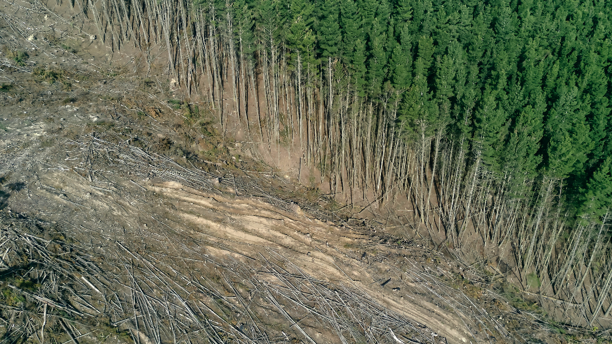
The 2026 LEARN Tool Update Expands Forest Analysis and Reveals New Insights on Harvest Emissions
May 7, 2026
The LEARN Tool: Everything You Need to Know About its Exciting 2025 Updates
January 29, 2025
Accountability Framework Initiative and Compliance with GFW Pro
August 14, 2024
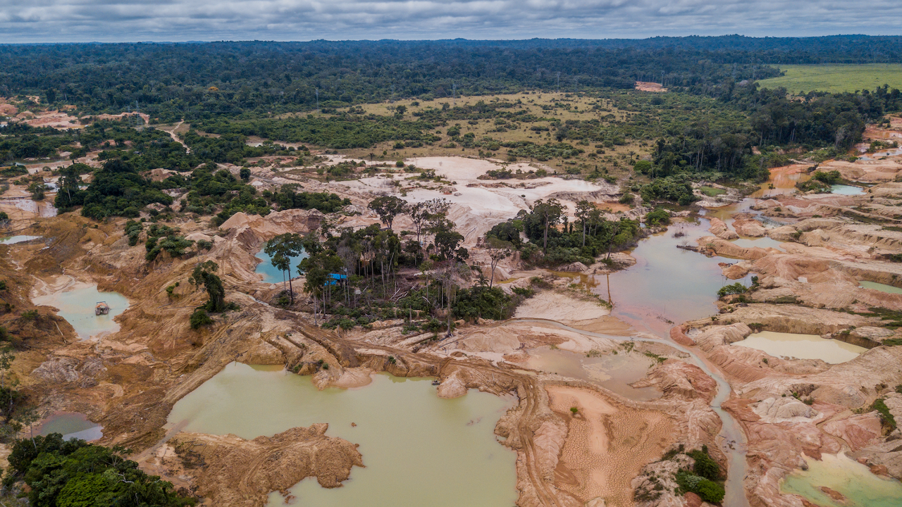
Improving Deforestation Risk Management in Commodity Supply Chain
March 3, 2022
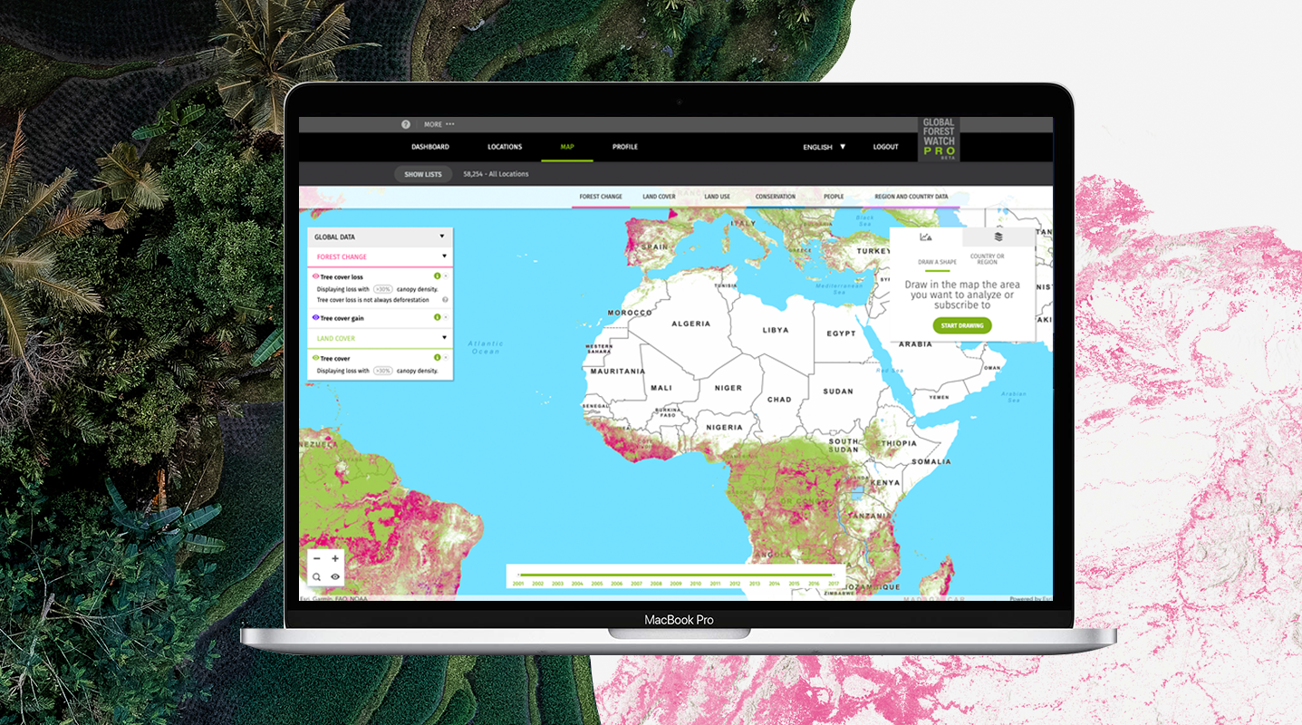
GFW Pro: Managing Deforestation Risk in Commodity Supply Chains
June 18, 2019
Saving Wilderness Areas with the Wildlife Conservation Society (WCS)
March 27, 2019
Towards Zero Deforestation with GFW Pro
October 23, 2018
Unlocking Data With WRI Open Data Portal
September 21, 2017
Global Fires Analyzed by Country
May 30, 2017
Helping Secure Land Rights With LandMark
March 30, 2017
1
2
3
4
Next »
Back To Stories & Blog Posts
About
About Us
Careers
Events
GIS for Good
Contact Us
Services
Web Application Development
Mobile Application Development
Managed Services
Software & Data Solutions
GIS Consulting
UX | UI Design
Capabilities
Stories
Resources
Press
Webinars
Newsletters
Branding & Styling
Partnerships
Esri ArcGIS Solutions
REGRID Parcel Data
Planet Labs Imagery
Microsoft Solutions
Scroll to Top