Skip to content
About
About Us
Careers
Events
GIS for Good
Contact Us
Services
Web Application Development
Mobile Application Development
Managed Services
Software & Data Solutions
GIS Consulting
UX | UI Design
Capabilities
Stories
Resources
Press
Webinars
Newsletters
Branding & Styling
Partnerships
Esri ArcGIS Solutions
REGRID Parcel Data
Planet Labs Imagery
Microsoft Solutions
Menu
Menu
Archive
WRI
Global Forest Watch-Fires using High-Resolution Imagery to better respond to Fires
July 22, 2014
GFW Commodities – Tools for Greenhouse Gas Emissions
June 4, 2014
Atlas of Forest Landscape Restoration Opportunities
May 28, 2014
Suitability Mapper: Finding Sustainable Palm Oil Sites
May 13, 2014
New WRI map confirms long suspected notions of natural resource rights across sub-Saharan Africa
January 14, 2014
WRI: New Agricultural Exposure to Water Stress map
November 8, 2013
Rapid Response WebMaps – Indonesia Fires Case Study
July 3, 2013
Aqueduct – Mapping Water Risk Around the Globe
January 30, 2013
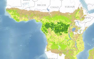
Increasing Forest Transparency in the Congo Basin
January 22, 2013
Supporting Sustainable Palm Oil in Indonesia
October 31, 2012
« Previous
1
2
3
4
Next »
Back To Stories & Blog Posts
About
About Us
Careers
Events
GIS for Good
Contact Us
Services
Web Application Development
Mobile Application Development
Managed Services
Software & Data Solutions
GIS Consulting
UX | UI Design
Capabilities
Stories
Resources
Press
Webinars
Newsletters
Branding & Styling
Partnerships
Esri ArcGIS Solutions
REGRID Parcel Data
Planet Labs Imagery
Microsoft Solutions
Scroll to Top