Skip to content
About
About Us
Careers
Events
GIS for Good
Contact Us
Services
Web Application Development
Mobile Application Development
Managed Services
Software & Data Solutions
GIS Consulting
UX | UI Design
Capabilities
Stories
Resources
Press
Webinars
Newsletters
Branding & Styling
Partnerships
Esri ArcGIS Solutions
REGRID Parcel Data
Planet Labs Imagery
Microsoft Solutions
Menu
Menu
Archive
Technological Insights
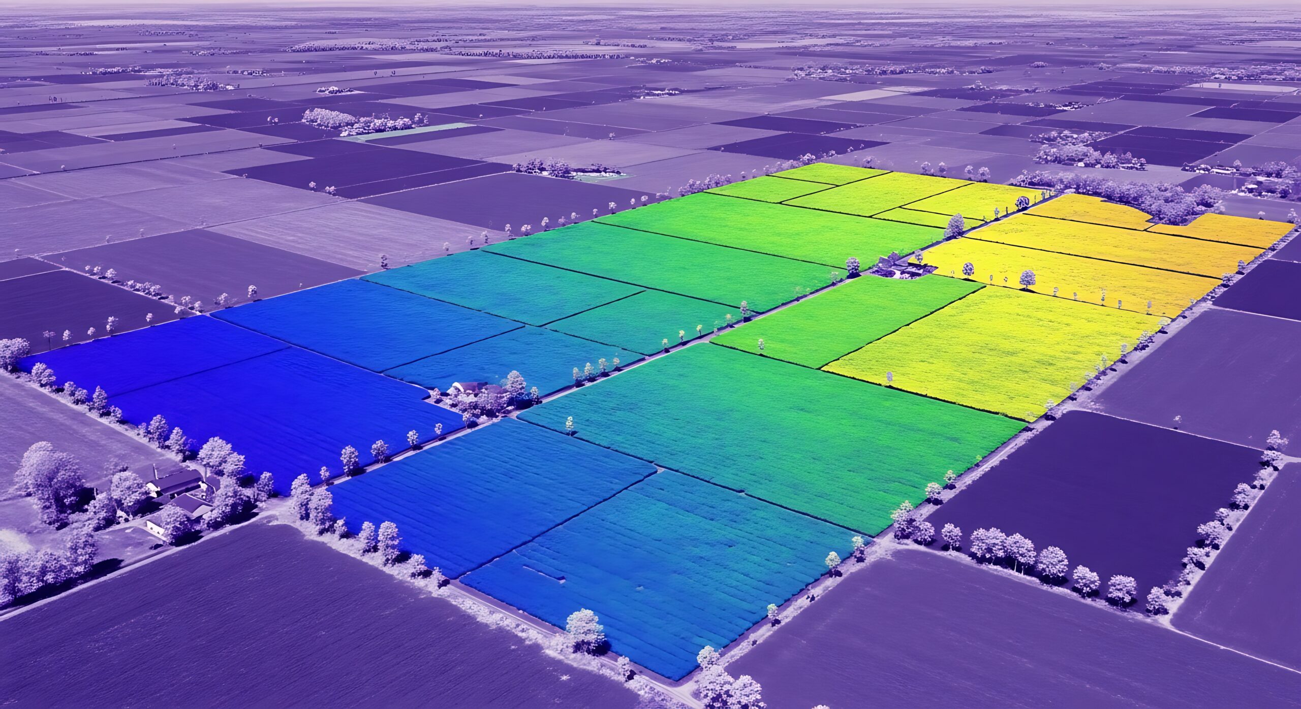
GeoAI in 2026: What’s Real, What Isn’t, and Where to Start
June 17, 2026
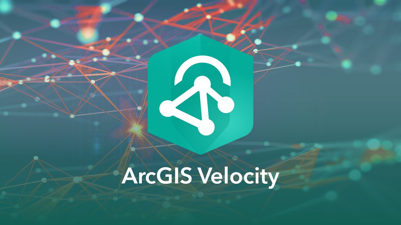
ArcGIS Velocity Is Now Available for ArcGIS Enterprise. Here Is What It Means For Your Organization
June 1, 2026
How GIS-Driven Market Intelligence Is Transforming Retail Expansion
May 28, 2026
How Blue Raster Used GIS to Optimize Wind Farm Construction Scheduling
April 24, 2026
Solving Construction Data Silos with GIS Data Interoperability
April 16, 2026
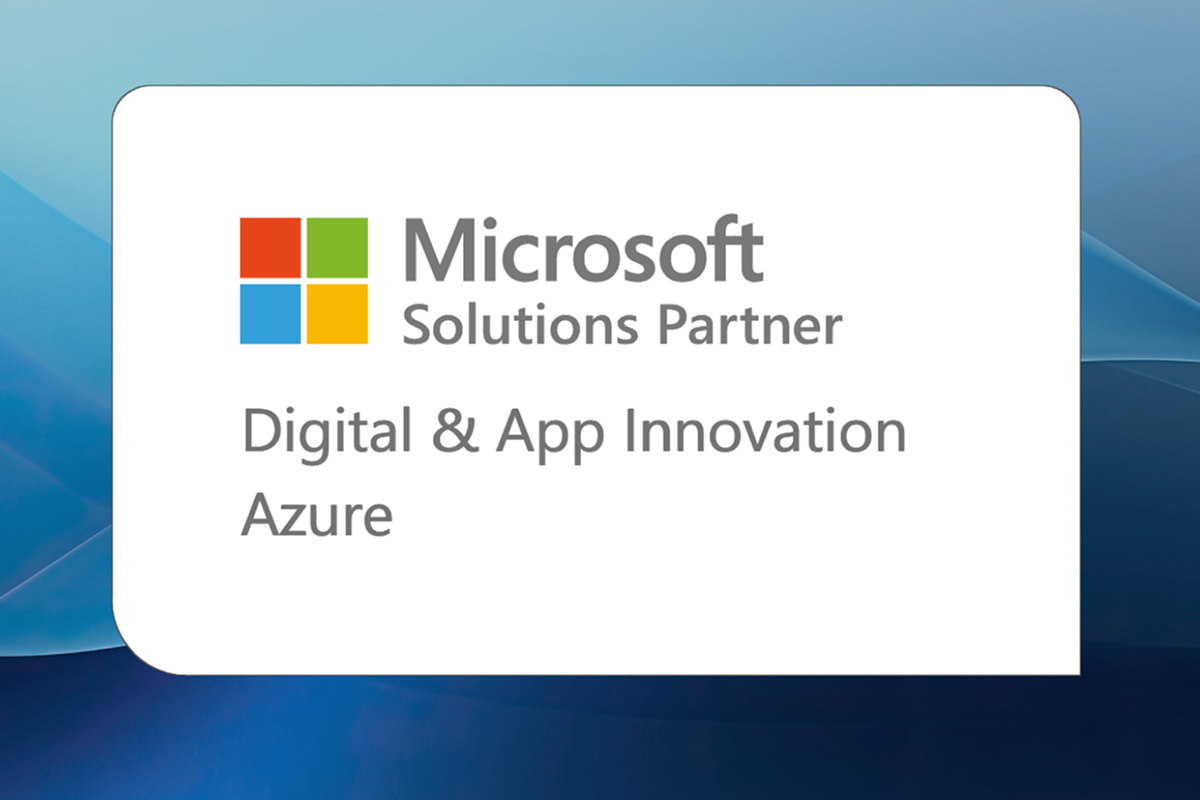
Blue Raster Earns Microsoft Solutions Partner Designation for Digital & App Innovation
March 20, 2026
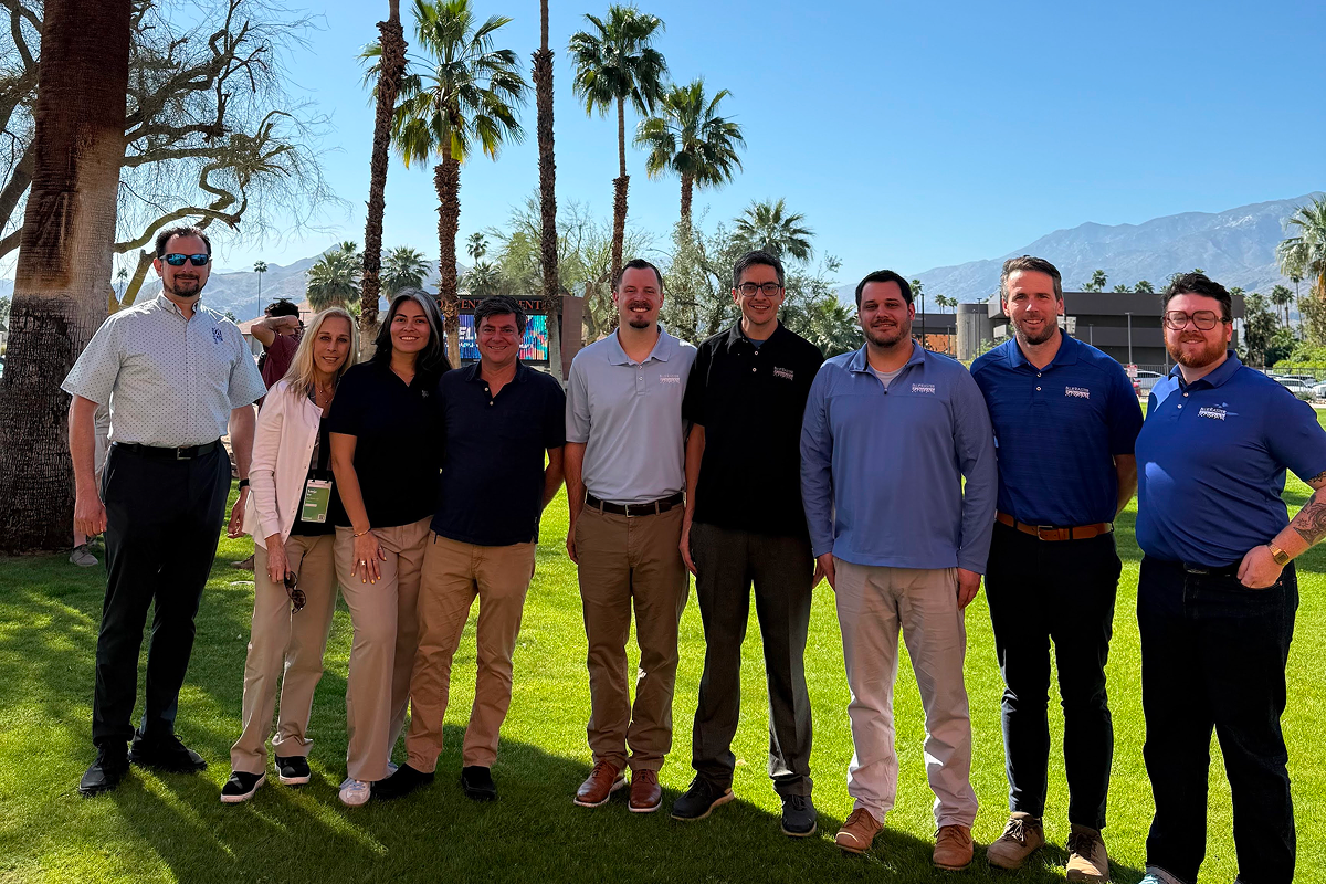
Blue Raster Highlights From Esri DevTech Summit 2026
March 19, 2026
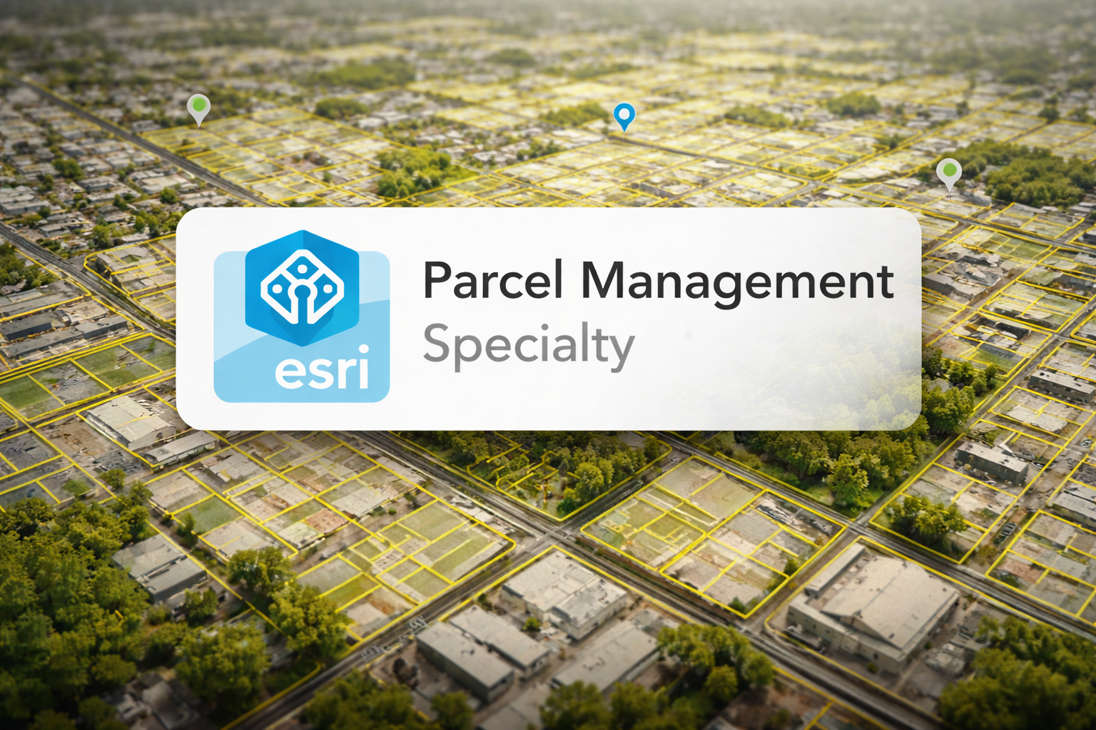
Blue Raster Earns Esri Parcel Management Specialty
February 20, 2026
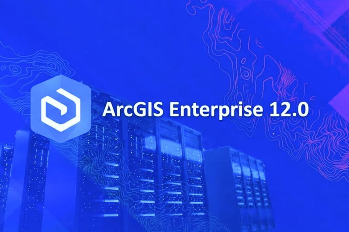
ArcGIS Enterprise 12.x is Out Now: Planning for Your Upgrade and What to Expect
February 6, 2026
Thinking About Migrating Your ArcGIS Enterprise to the Cloud? Here Are Some Helpful Tips to Help You Make Your Decision
January 30, 2026
1
2
3
…
5
Next »
Back To Stories & Blog Posts
About
About Us
Careers
Events
GIS for Good
Contact Us
Services
Web Application Development
Mobile Application Development
Managed Services
Software & Data Solutions
GIS Consulting
UX | UI Design
Capabilities
Stories
Resources
Press
Webinars
Newsletters
Branding & Styling
Partnerships
Esri ArcGIS Solutions
REGRID Parcel Data
Planet Labs Imagery
Microsoft Solutions
Scroll to Top