The 2026 Esri User Conference took place July 13-17 at the San Diego Convention Center, under the theme "GIS — Creating a More Intelligent World." More than 18,000 attendees from over 100 countries gathered in person, with thousands more joining virtually, making it the world's largest GIS conference. The week brought together geospatial professionals for the Plenary Session, hundreds of technical sessions and user presentations, the Map Gallery, and an Expo floor featuring more than 200 organizations alongside Esri's own experts.
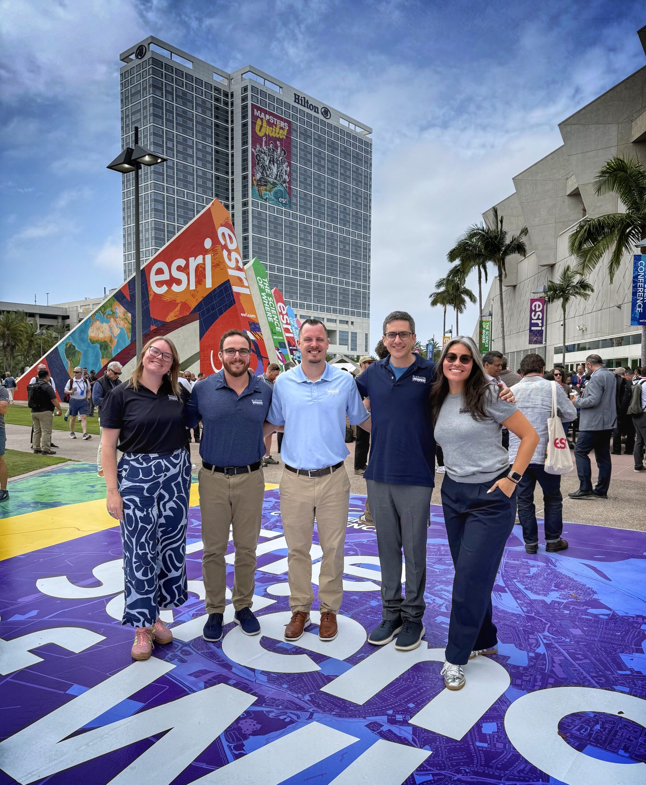
The Blue Raster team was in attendance as an Esri Gold and Cornerstone Partner, engaging with clients, peers, and the broader GIS community throughout the week.
Kicking Things Off: Plenary Presentation Highlights
The week opened with the Plenary Session, hosted by Esri founder and president Jack Dangermond. It set the tone for the conference, leaving the Blue Raster team energized about the direction of the platform and the breadth of problems GIS is being applied to solve.
One highlight that stood out to Stephen Ansari, Co-Founder and Principal at Blue Raster, was Esri's Top Ten List, a rundown of the most requested features and improvements from the user community. For Stephen, it was a standout moment. The list spoke to something he believes matters deeply in a platform partner: Esri listens to its users and takes their feedback seriously. Seeing the platform evolve in direct response to real frustrations from real practitioners, in his view, is a good sign for everyone building on top of it.
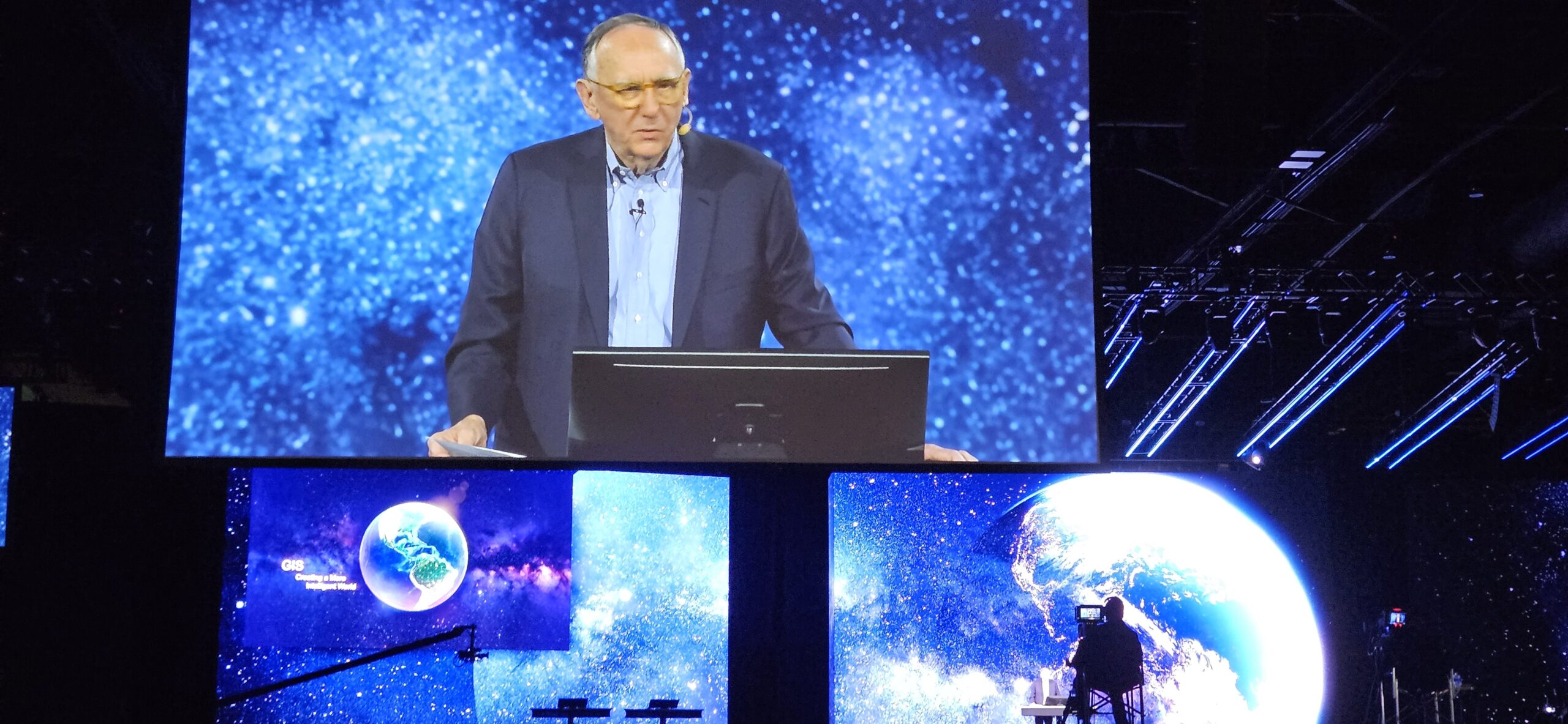
The session also gave significant attention to AI assistance and agentic AI capabilities coming to the ArcGIS platform. The tone was optimistic, and the possibilities are genuinely exciting. What struck us most, though, was how Dangermond framed it - AI is a powerful tool, but GIS professionals remain essential. The people who understand the data, the geography, and the problems are the ones who will determine whether these tools deliver real impact. That is a perspective we share, and it was good to hear it stated plainly from the stage.
The Map Gallery
The Map Gallery was one of the highlights of the week, both as an opportunity to share what our team has been building and to see the breadth of work coming out of the broader geospatial community.
Blue Raster had five posters accepted to the gallery this year, representing a range of clients and project types. Our submissions showcased work with the City of Longmont, PepsiCo, M.A. Mortenson, Baltimore National Heritage Area, and OpenOceans, spanning ArcGIS StoryMaps and Experience Builder applications built for public exploration of metro areas and conservation efforts, custom geoprocessing tools developed for wind power plant construction, and custom applications built on the ArcGIS Maps SDK for JavaScript.
Seeing that range of work on the gallery floor, alongside some truly impressive projects from peers across the industry, was a good reminder of how much ground GIS covers and how many different ways our team is applying it.


In the Spotlight: Presenting At the Esri User Conference

Connecting with our Friends, Clients and Partners
The Blue Raster booth was one of the more active spots on the expo floor this year. Swag ranging from tape measures to chip clips drew plenty of foot traffic, and many attendees walked away with something Blue Raster branded. But the real value was in the conversations.
The booth served as a gathering point for discussions with current and prospective clients, giving the team a chance to demo live applications and explore what future projects might look like. We also hosted office hours with Brandon Briggs, CEO and co-founder of XR Navigation, who walked visitors through Audiom, his flagship application that is reshaping how ADA and accessibility compliance is approached in GIS. It was a compelling demonstration and the kind of conversation that makes the expo floor worth showing up for.


Work Hard, Play Hard
After long, rewarding days in the convention center, the Blue Raster team took full advantage of what San Diego had to offer. With staff based across the country, Esri UC is one of the few times the full team comes together in person, and that time outside the conference halls matters just as much as what happens inside them.
The team caught a Padres game, explored Old Town San Diego for dinner, and wrapped up the week at the conference party at Balboa Park. Those moments away from the sessions and the expo floor are where the real team-building happens, and this year was no exception.
Key Takeaways From the 2026 Esri User Conference
- GIS As a Force for Change: The plenary and user sessions reminded us why we do this work. Seeing how GIS is being used to solve real world problems and enact change left the whole team energized about how we can continue moving forward for our clients and our geospatial community
- In-Person Connections Matter: Getting to meet in-person with our clients and Esri network reinforced relationships that often happen over email and virtual calls. The opportunity to swap ideas, celebrate wins, and talk about what's next in person always strengthens ties and helps spur new ideas.
- Esri and Its Community: It was inspiring to see how Esri balances constant innovation with genuinely listening to users. A reminder to us that great GIS work is as much about responsiveness as it is about pushing into new capabilities.
- Momentum For The Year Ahead: Every conversation at our booth, with current clients, future partners, and folks passing by, left us more excited about where our network and community are headed next.
Let's Keep the Conversation Going
It was great connecting with clients, partners, and friends from across the GIS community at Esri UC 2026. Whether we crossed paths in San Diego or not, we are always glad to talk about what is new in the geospatial space and how we are putting the latest innovations to work for our clients.
If you want to hear more about our takeaways from the conference or explore how GIS can move your organization forward, contact us today.