Skip to content
About
About Us
Careers
Events
GIS for Good
Contact Us
Services
Web Application Development
Mobile Application Development
Managed Services
Software & Data Solutions
GIS Consulting
UX | UI Design
Capabilities
Stories
Resources
Press
Webinars
Newsletters
Branding & Styling
Partnerships
Esri ArcGIS Solutions
REGRID Parcel Data
Planet Labs Imagery
Microsoft Solutions
Menu
Menu
Archive
GIS
Strengthening Multi-Hazard Risk Modeling: How Blue Raster Helped AIWEX Build a More Reliable Geospatial Platform
July 7, 2026
How Blue Raster Used GIS to Optimize Wind Farm Construction Scheduling
April 24, 2026
Blue Raster Selected for State of Missouri GIS Services Qualified Vendor List
March 24, 2026
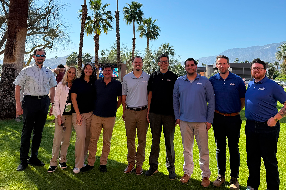
Blue Raster Highlights From Esri DevTech Summit 2026
March 19, 2026
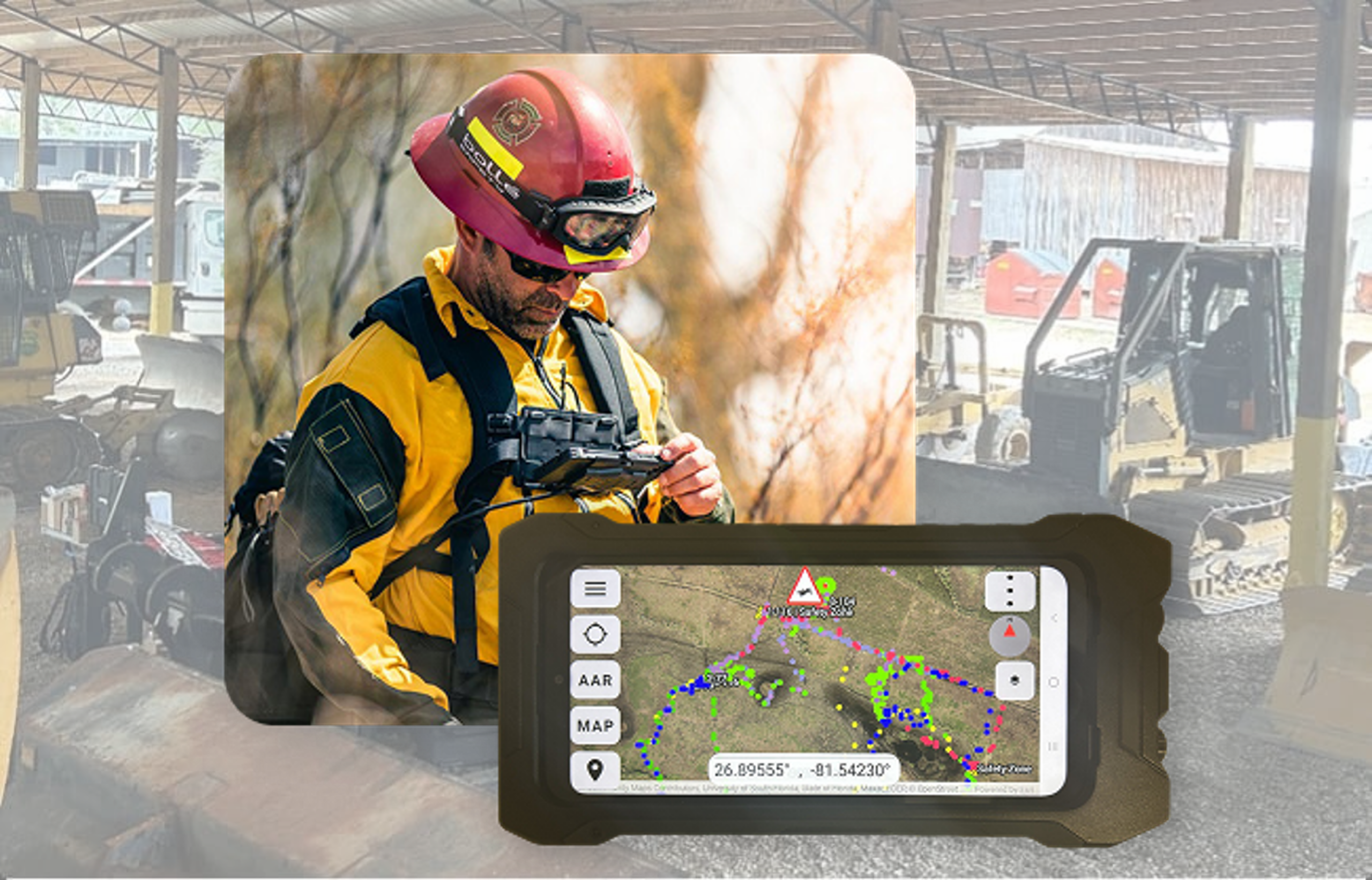
From the Field to the Command Center: Powering Advanced Situational Awareness
March 3, 2026
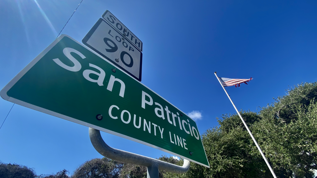
San Patricio County Launches Hurricane Preparedness Viewer
August 26, 2025
The New NC Equitable Foodshed Map is Amplifying Support for Farmers and Ranchers in North Carolina
May 6, 2025
San Patricio County’s GIS Workflows for Election Management
March 28, 2025
Blue Raster’s Recap from The American Public Gardens Association 2024 Conference
August 2, 2024
Navigating the Future of Transportation with SEMCOG’s Multimodal Tool
July 23, 2024
1
2
3
Next »
Back To Stories & Blog Posts
About
About Us
Careers
Events
GIS for Good
Contact Us
Services
Web Application Development
Mobile Application Development
Managed Services
Software & Data Solutions
GIS Consulting
UX | UI Design
Capabilities
Stories
Resources
Press
Webinars
Newsletters
Branding & Styling
Partnerships
Esri ArcGIS Solutions
REGRID Parcel Data
Planet Labs Imagery
Microsoft Solutions
Scroll to Top