Skip to content
About
About Us
Careers
Events
GIS for Good
Contact Us
Services
Web Application Development
Mobile Application Development
Managed Services
Software & Data Solutions
GIS Consulting
UX | UI Design
Capabilities
Stories
Resources
Press
Webinars
Newsletters
Branding & Styling
Partnerships
Esri ArcGIS Solutions
REGRID Parcel Data
Planet Labs Imagery
Microsoft Solutions
Menu
Menu
Archive
ArcGIS Online
Modernizing Solid Waste Billing for San Mateo County
July 22, 2026
Strengthening Multi-Hazard Risk Modeling: How Blue Raster Helped AIWEX Build a More Reliable Geospatial Platform
July 7, 2026
Smarter Retail Expansion Achieved Through 3 Proven GIS Analytical Frameworks with CD One Price Cleaners
June 25, 2026
Darsana Capital Partners is Leveraging Geospatial Analytics to Guide Retail Investment Decisions in 2026
June 8, 2026
Mapping Progress: How Data Is Shaping Affordable Housing on the Atlanta Beltline
June 3, 2026
ArcGIS Velocity Is Now Available for ArcGIS Enterprise. Here Is What It Means For Your Organization
June 1, 2026
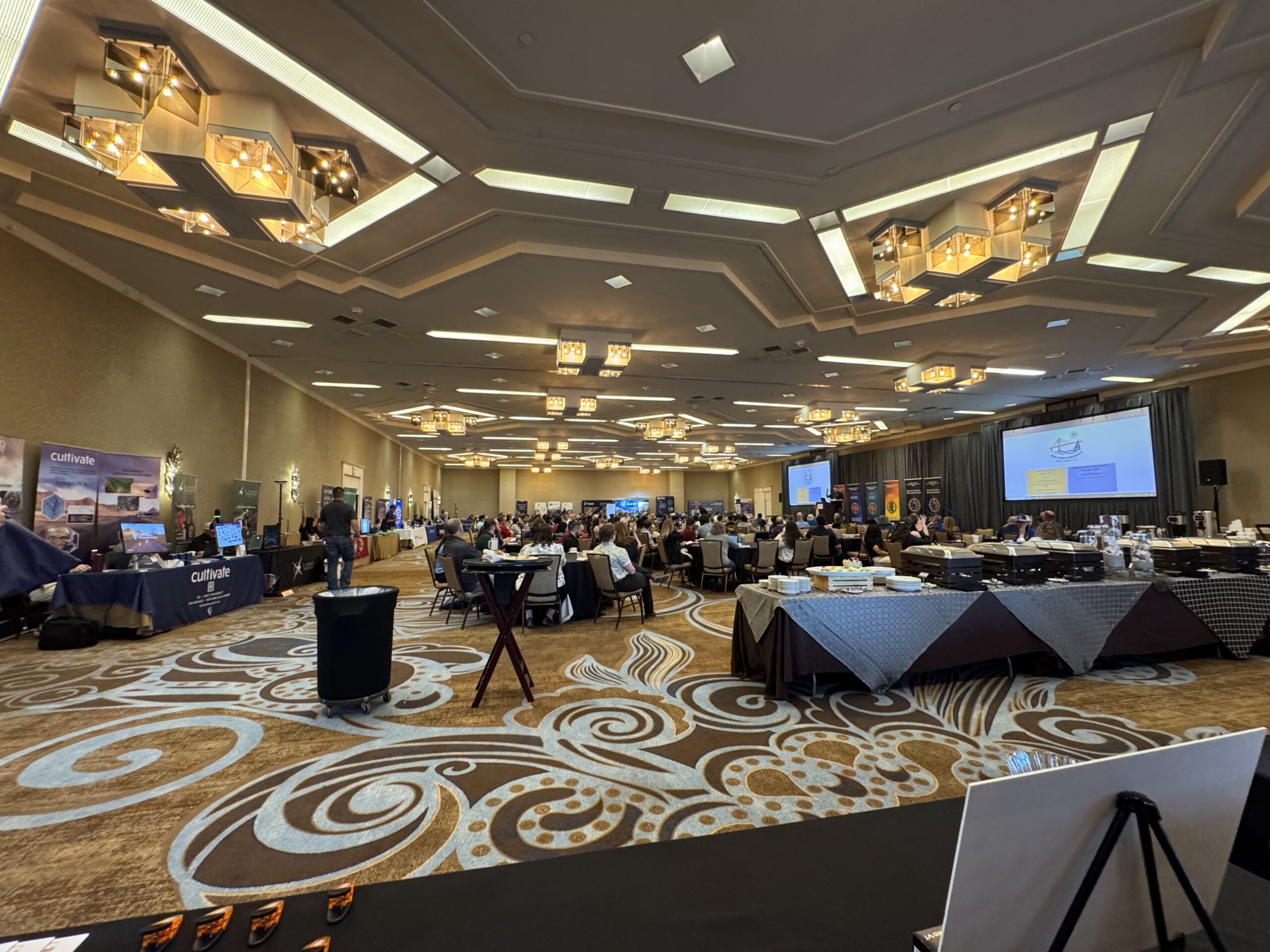
Recap of Blue Raster at South Central Arc User Group (SCAUG) 2026: Presenting, Exhibiting, and Engaging the GIS Community
May 28, 2026
How GIS-Driven Market Intelligence Is Transforming Retail Expansion
May 28, 2026
How Re:Wild Connected ArcGIS and Airtable Into One Seamless Workflow
May 11, 2026
Blue Raster Selected for State of Missouri GIS Services Qualified Vendor List
March 24, 2026
1
2
3
…
13
Next »
Back To Stories & Blog Posts
About
About Us
Careers
Events
GIS for Good
Contact Us
Services
Web Application Development
Mobile Application Development
Managed Services
Software & Data Solutions
GIS Consulting
UX | UI Design
Capabilities
Stories
Resources
Press
Webinars
Newsletters
Branding & Styling
Partnerships
Esri ArcGIS Solutions
REGRID Parcel Data
Planet Labs Imagery
Microsoft Solutions
Scroll to Top