Skip to content
About
About Us
Careers
Events
GIS for Good
Contact Us
Services
Web Application Development
Mobile Application Development
Managed Services
Software & Data Solutions
GIS Consulting
UX | UI Design
Capabilities
Stories
Resources
Press
Webinars
Newsletters
Branding & Styling
Partnerships
Esri ArcGIS Solutions
REGRID Parcel Data
Planet Labs Imagery
Microsoft Solutions
Menu
Menu
Archive
ArcGIS Online
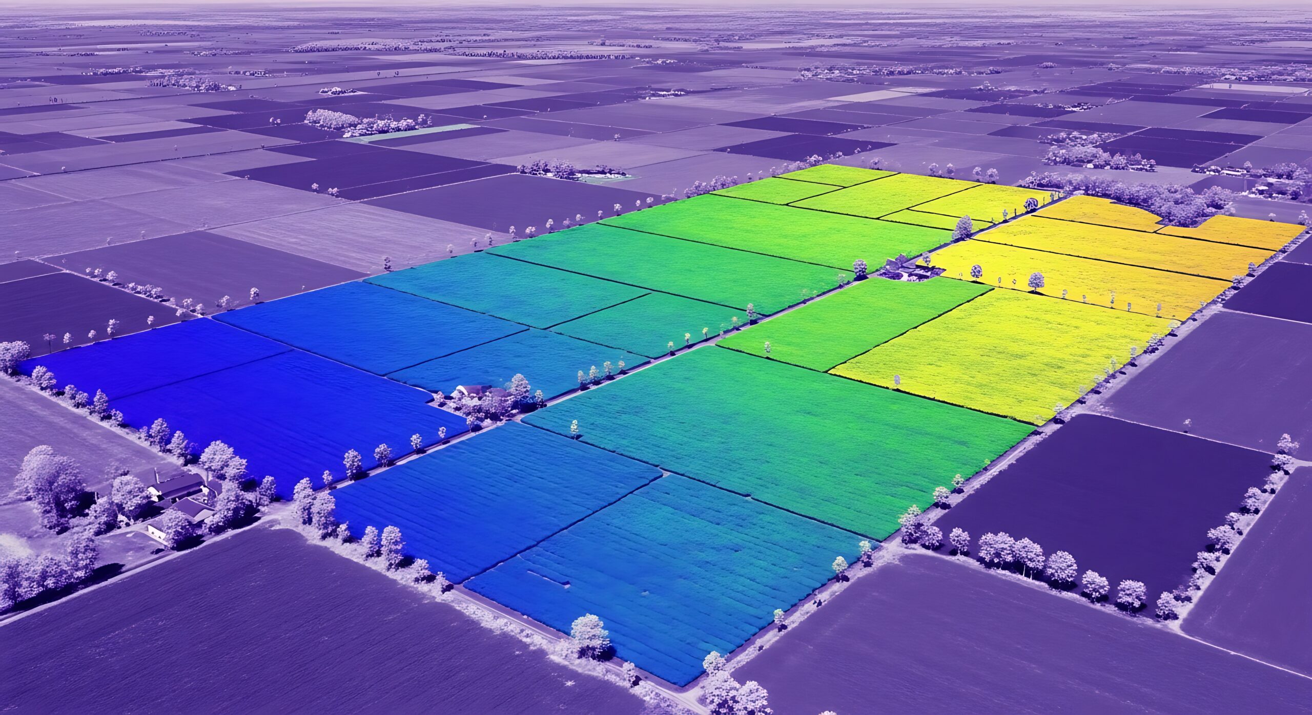
GeoAI in 2026: What’s Real, What Isn’t, and Where to Start
June 17, 2026
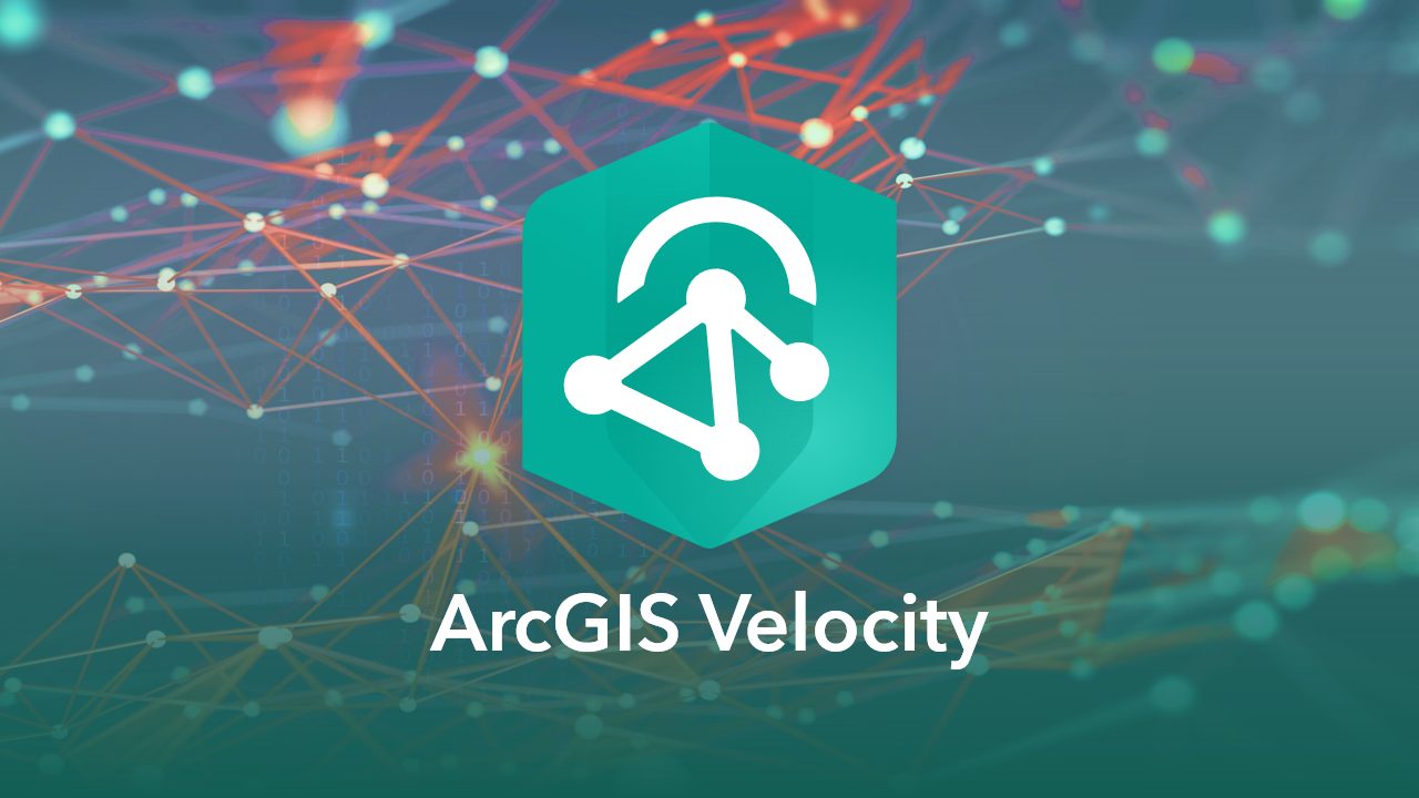
ArcGIS Velocity Is Now Available for ArcGIS Enterprise. Here Is What It Means For Your Organization
June 1, 2026
How Re:Wild Connected ArcGIS and Airtable Into One Seamless Workflow
May 11, 2026
ArcGIS Hub for Community Health: Blue Raster Supports the Orange County Regional Workforce Summit
March 23, 2026
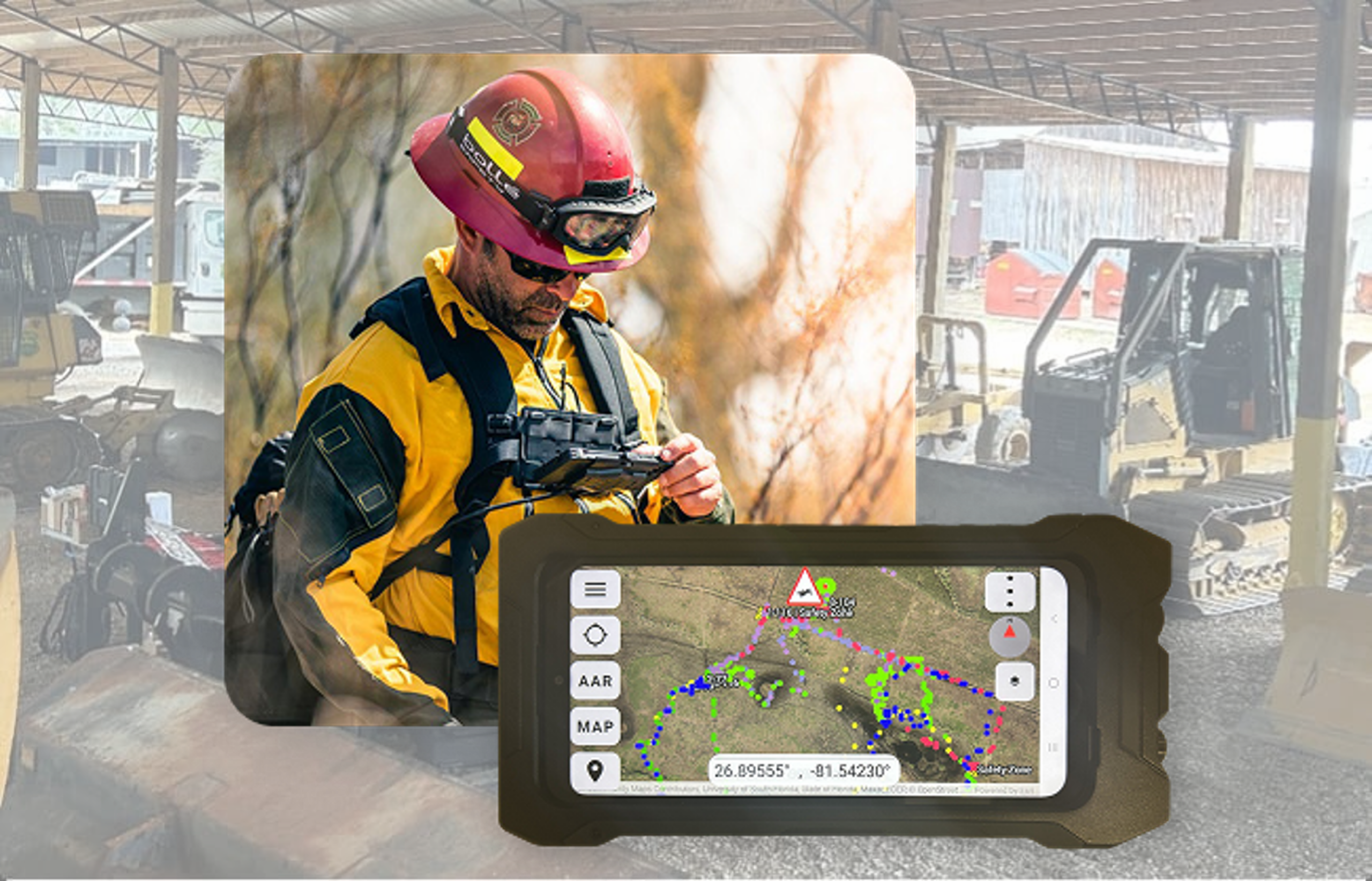
From the Field to the Command Center: Powering Advanced Situational Awareness
March 3, 2026
Exploring Gilroy’s Trails with GilroyPathways
March 2, 2026
Bringing Water Data to Life: Enhancing National Geographic’s World Water Map
August 27, 2025
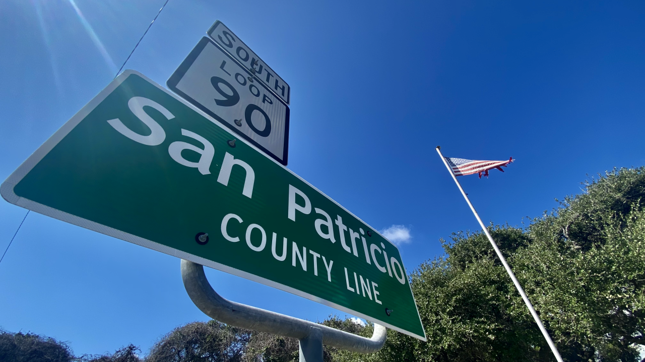
San Patricio County Launches Hurricane Preparedness Viewer
August 26, 2025
World Forest ID’s Evaluation Platform: Strengthening Supply Chain Transparency with Blue Raster
July 3, 2025
Plano ISD Find My School App: A New Tool for Easy School Enrollment
June 2, 2025
1
2
3
…
11
Next »
Back To Stories & Blog Posts
About
About Us
Careers
Events
GIS for Good
Contact Us
Services
Web Application Development
Mobile Application Development
Managed Services
Software & Data Solutions
GIS Consulting
UX | UI Design
Capabilities
Stories
Resources
Press
Webinars
Newsletters
Branding & Styling
Partnerships
Esri ArcGIS Solutions
REGRID Parcel Data
Planet Labs Imagery
Microsoft Solutions
Scroll to Top