Author name: Eric Ashcroft

3D, ArcGIS Enterprise, ArcGIS Online, ArcGIS Pro, Custom Application, Infrastructure, JavaScript API

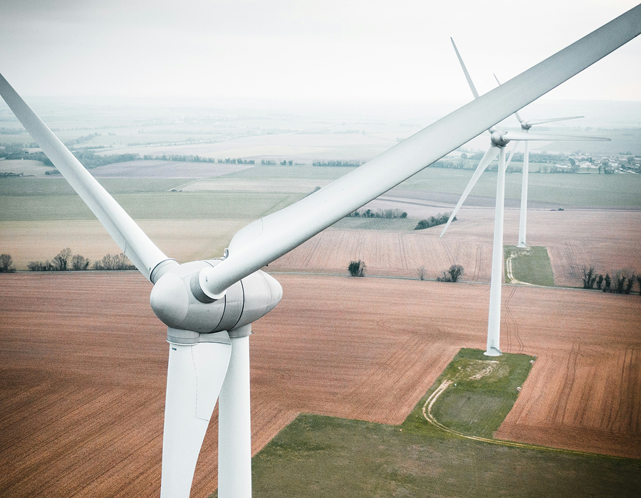
Streamlining Wind Farm Design and Optimizing Construction Planning with GIS

Blue Raster partnered with Mortenson’s wind group to develop custom GIS tools that optimize wind farm design and construction. Using ArcGIS Pro and Python geoprocessing, the tools streamline data sharing, road and crane path planning, and cost analysis. These innovations help Mortenson generate competitive bids, reduce construction risk, and scale operations with confidence.

ArcGIS Experience Builder, ArcGIS Online, ArcGIS Pro, Conservation, Environment, Esri, Nonprofit/NGO, Water

Analyzing The Impact of Sackett v. EPA on Federal Wetlands Protection

Blue Raster worked with NRDC to identify which wetlands were potentially protected under the previous interpretation of the Clean Water Act but are now at risk of not being protected. Using the National Wetlands Inventory (NWI) data, our team first created a dataset of wetlands likely to meet the regulatory definition of “wetlands” in federal Clean Water Act rules, based on the presence of water, hydric soils, and hydrophilic soils.

ArcGIS Enterprise, Conservation, Environment, Forest, GIS, JavaScript API, Nonprofit/NGO, SDG, Supply Management

Accountability Framework Initiative and Compliance with GFW Pro

Blue Raster is proud to announce two updates to GFW Pro that allow for more efficient analysis of supply chains in light of new international regulations. By applying the Accountability Framework, producers can better ensure that their supply chains adhere to international standards of sustainability and report to stakeholders and consumers the steps they are taking to secure a better future for people and the planet.

Scroll to Top