Skip to content
About
About Us
Careers
Events
GIS for Good
Contact Us
Services
Web Application Development
Mobile Application Development
Managed Services
Software & Data Solutions
GIS Consulting
UX | UI Design
Capabilities
Stories
Resources
Press
Webinars
Newsletters
Branding & Styling
Partnerships
Esri ArcGIS Solutions
REGRID Parcel Data
Planet Labs Imagery
Microsoft Solutions
Menu
Menu
Archive
GIS
How Re:Wild Connected ArcGIS and Airtable Into One Seamless Workflow
May 11, 2026
Solving Construction Data Silos with GIS Data Interoperability
April 16, 2026
Blue Raster Selected for State of Missouri GIS Services Qualified Vendor List
March 24, 2026
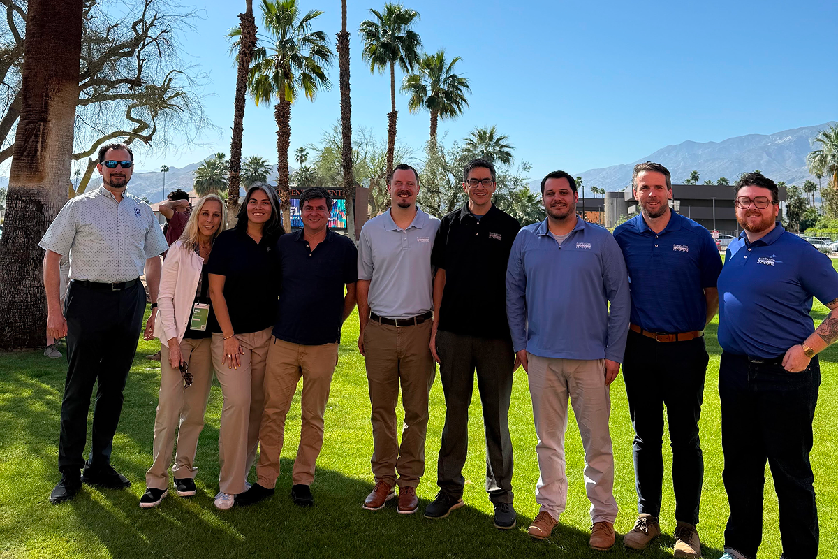
Blue Raster Highlights From Esri DevTech Summit 2026
March 19, 2026
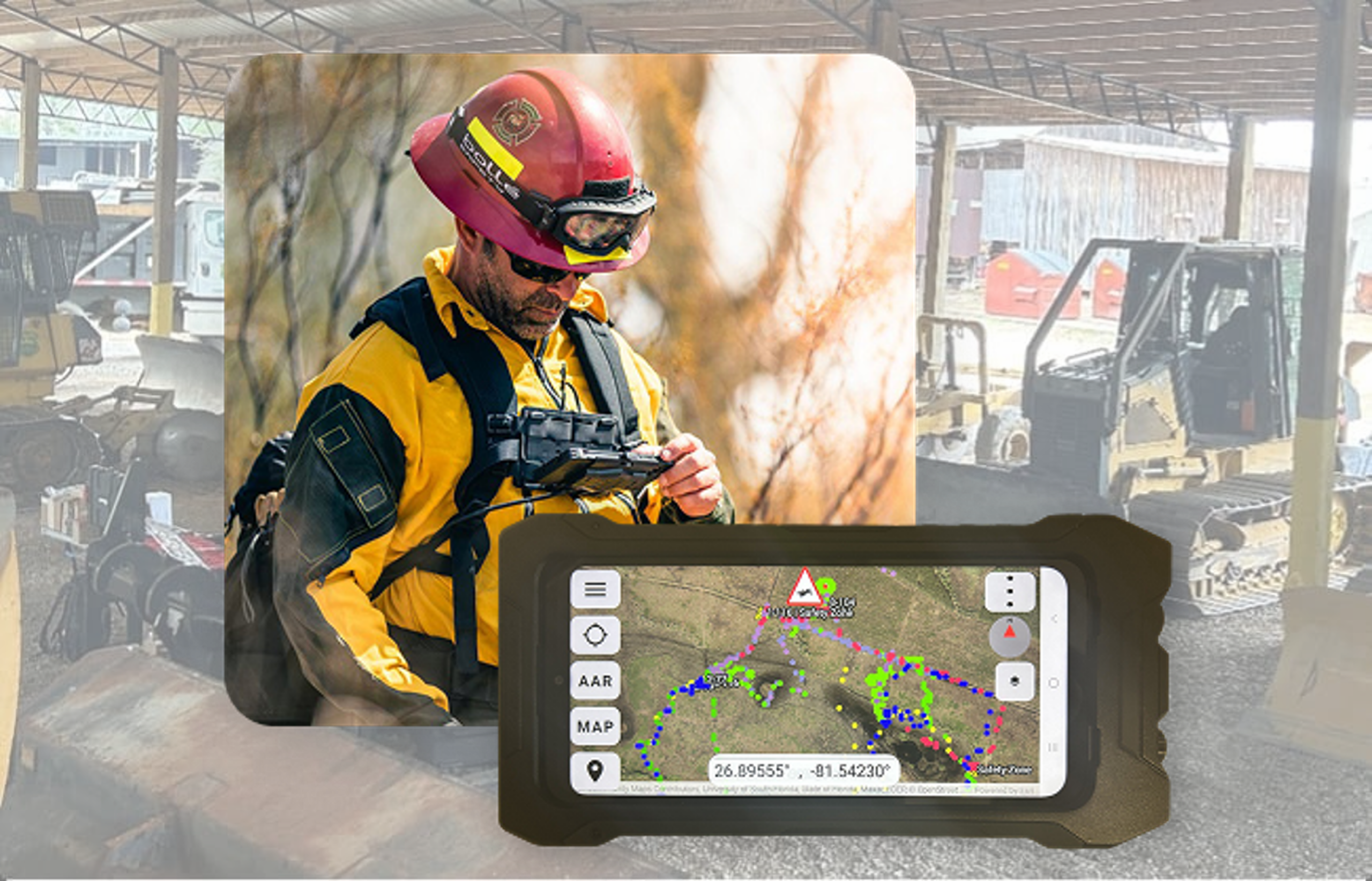
From the Field to the Command Center: Powering Advanced Situational Awareness
March 3, 2026
Blue Raster Earns Esri Parcel Management Specialty
February 20, 2026
Modernizing Parcel Mapping Workflows for Moore County, NC
November 20, 2025
Blue Raster: We ❤️ New York
November 18, 2025
Advancing Regional Planning Organizations with Strategic GIS and ArcGIS Enterprise Services
October 17, 2025
Empowering OneEnergy Renewables with a Modern and Managed ArcGIS Enterprise Environment
October 17, 2025
1
2
3
…
9
Next »
Back To Stories & Blog Posts
About
About Us
Careers
Events
GIS for Good
Contact Us
Services
Web Application Development
Mobile Application Development
Managed Services
Software & Data Solutions
GIS Consulting
UX | UI Design
Capabilities
Stories
Resources
Press
Webinars
Newsletters
Branding & Styling
Partnerships
Esri ArcGIS Solutions
REGRID Parcel Data
Planet Labs Imagery
Microsoft Solutions
Scroll to Top